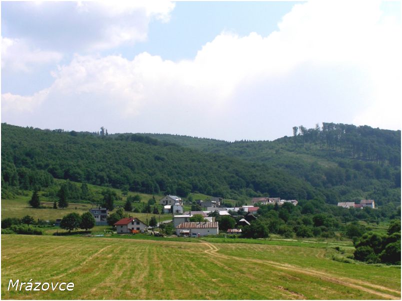
- Mrázovce
-
Mrázovce Village 
Country Slovakia Region Prešov District Stropkov Elevation 220 m (722 ft) Coordinates 49°07′N 21°41′E / 49.117°N 21.683°E Area 2 km2 (1 sq mi) Population 100 (2004-12-31) Density 50 / km2 (129 / sq mi) First mentioned 1408 Postal code 090 34 Car plate SP 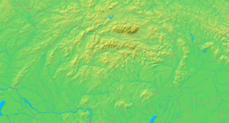

 Location of Mrázovce in Slovakia
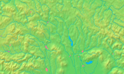
 Location of Mrázovce in the Eastern part of the Prešov Region
Statistics: MOŠ/MIS Mrázovce is a village and municipality in Stropkov District in the Prešov Region of north-eastern Slovakia.
History
In historical records the village was first mentioned in 1408.
Geography
The municipality lies at an altitude of 248 metres and covers an area of 4.653 km². It has a population of about 100 people.
External links
Stropkov
Baňa · Breznica · Breznička · Brusnica · Bukovce · Bystrá · Bžany · Duplín · Gribov · Havaj · Chotča · Jakušovce · Kolbovce · Korunková · Kožuchovce · Krišlovce · Kručov · Krušinec · Lomné · Makovce · Malá Poľana · Miková · Miňovce · Mrázovce · Nižná Olšava · Oľšavka · Potoky · Potôčky · Soľník · Staškovce · Šandal · Tisinec · Tokajík · Turany nad Ondavou · Varechovce · Veľkrop · Vislava · Vladiča · Vojtovce · Výškovce · Vyšná Olšava · Vyšný Hrabovec Categories:
- Villages and municipalities in Stropkov District
- Prešov Region geography stubs


Wikimedia Foundation. 2010.