- Noke, Oxfordshire
-
Coordinates: 51°48′50″N 1°12′47″W / 51.814°N 1.213°W
Noke 
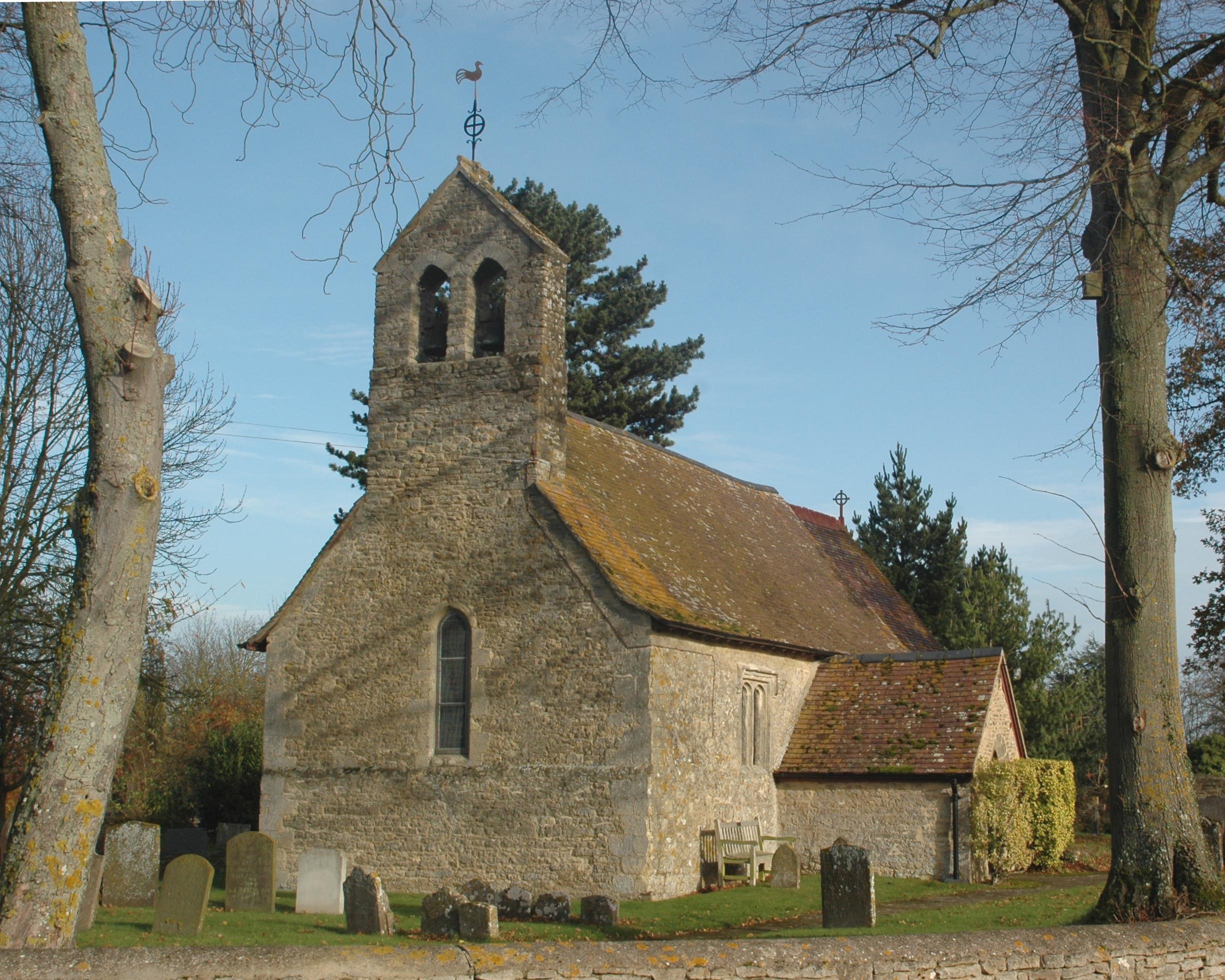
St. Giles' parish church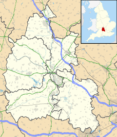
 Noke
Noke
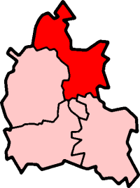
Noke shown within OxfordshirePopulation 132 (2001 census)[1] OS grid reference SP5514 Parish Noke District Cherwell Shire county Oxfordshire Region South East Country England Sovereign state United Kingdom Post town Kidlington Postcode district OX5 Dialling code 01865 Police Thames Valley Fire Oxfordshire Ambulance South Central EU Parliament South East England UK Parliament Banbury List of places: UK • England • Oxfordshire Noke is a small village and civil parish in Oxfordshire about 5 miles (8.0 km) northeast of Oxford. It is on the southeast edge of Otmoor and is one of the "Seven Towns of Otmoor".
The toponym is derived from Old English and means "at the oak trees".[2] The parish still has two woodlands: Prattle Wood about 500 yards (460 m) southwest of the village, and Noke Wood about 1 mile (1.6 km) to the southeast.
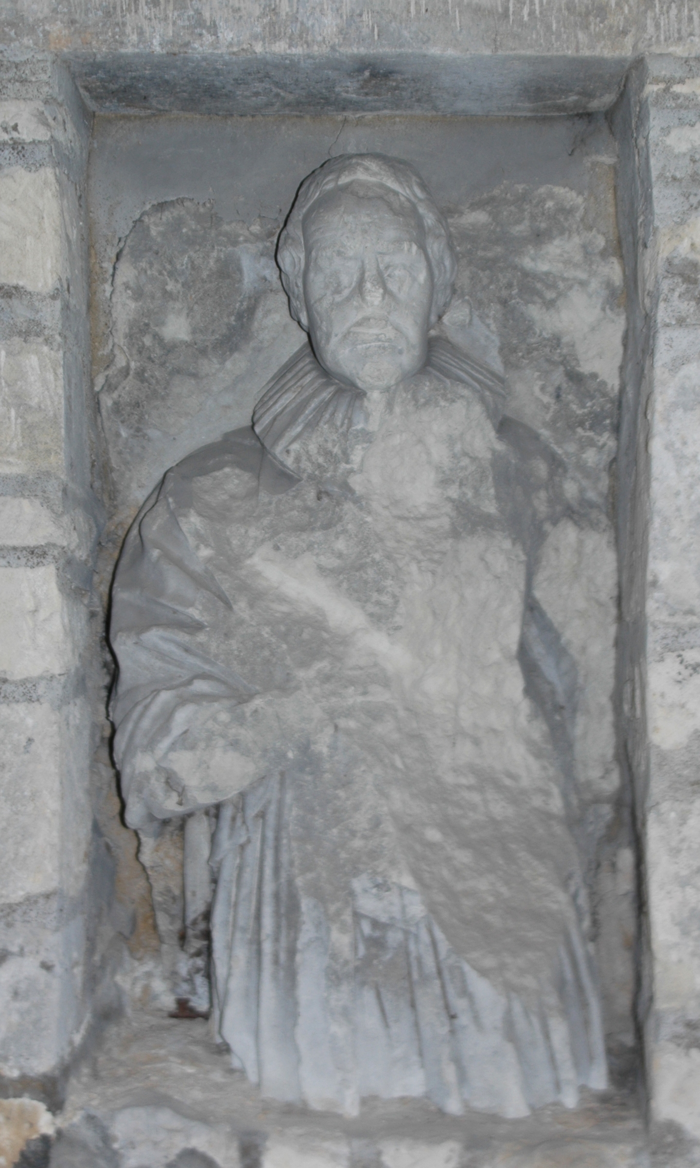
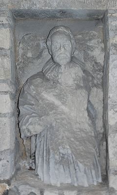 Damaged early 17th century effigy in chancel of St. Giles' parish church
Noke had a parish church by 1191 but the present Church of England parish church of Saint Giles dates from the first half of the 13th century. At the end of the 16th century a mortuary chapel was added for the Winchcombe family on the north side of the church, but in 1745 the chapel was in a ruinous condition and was demolished.[2][3]
Noke Parochial School was built in 1863. It was reorganised as a junior school in 1931 and closed in 1946.[2] Noke also used to have a public house, but this too has closed. Both the school and the pub are now private houses.
Noke has a number of notable ditches including 'Bog End ditch' and 'Bentface ditch'.
References
- ^ "Area: Noke CP (Parish): Parish Headcounts". Neighbourhood Statistics. Office for National Statistics. http://neighbourhood.statistics.gov.uk/dissemination/LeadTableView.do?a=7&b=798589&c=Noke&d=16&e=15&g=480235&i=1001x1003x1004&o=1&m=0&r=1&s=1268052975133&enc=1&dsFamilyId=779. Retrieved 8 March 2010.
- ^ a b c Lobel, 1959, pages 268-276
- ^ The Parish Church of St Giles, Noke, Oxfordshire
Sources
- Lobel, Mary D, ed (1959). A History of the County of Oxford: Volume 6. Victoria County History. pp. 268–272.
- Sherwood, Jennifer; Pevsner, Nikolaus (1974). Oxfordshire. The Buildings of England. Harmondsworth: Penguin Books. pp. 717–718. ISBN 0 14 071045 0.
External links
 Media related to Noke, Oxfordshire at Wikimedia CommonsCategories:
- Oxfordshire geography stubs
- Villages in Oxfordshire
- Civil parishes in Oxfordshire

Wikimedia Foundation. 2010.