- Dent (fell)
-
Dent 
Cairn on the western slopes of DentElevation 352 m (1,155 ft) Prominence c. 175 m Parent peak Pillar Listing Marilyn, Outlying Wainwright Location Lake District, England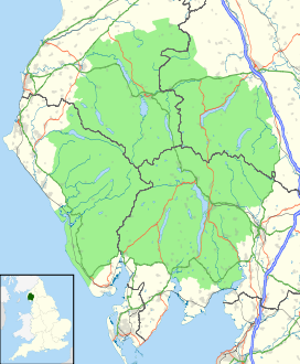
 Dent
DentCoordinates 54°30′08″N 3°28′57″W / 54.50232°N 3.48242°WCoordinates: 54°30′08″N 3°28′57″W / 54.50232°N 3.48242°W Topo map OS Landranger 89 OS grid NY041129 Dent is a small fell on the fringe of the English Lake District near the towns of Cleator Moor and Egremont. Sometimes known as Long Barrow, it is traditionally the first fell encountered by hikers following Wainwright's Coast to Coast Walk. It slopes from the westerly point of the Lake District National Park.
At its highest point it stands at only 352 metres (1155 feet), but offers uninterrupted views of the Cumbrian coast from the Ravenglass estuary in the south to the Solway Firth and across to Scotland in the north. In the west the Isle of Man can be easily seen, and views to the east extend to the high peaks of Pillar and the Sca Fells.
When climbers have reached the summit of the fell, it is common that they place a rock on the "rock pile" (pictured) to symbolise they have reached the top of the fell. This was also done because Dent Fell is only a few metres short of being a mountain so the rock pile makes it into a mountain. However, this is simply a local custom and it remains a fell.
 Dent from Blakeley Raise
Over the past 20 years a man-made forest has been planted on the slopes of the fell facing north towards Cleator Moor. This process was carried out reduce the rate of erosion on the fell. There is already a mature forest on the southern slopes of the fell and public pedestrian access via a gate at Nannycatch.
There is a road at the base of the fell, known locally as "the fell road", which runs from Cleator Moor to Egremont. The road is still used by locals, despite its poor quality and the fact it doesn't represent a shortcut.
The River Ehen also tracks along the base of the fell and the aforementioned road.
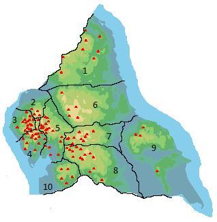
Major summits; Beacon Fell · Black Combe · Blawith Knott · Brunt Knott · Buck Barrow · Burney · Carron Crag · Claife Heights · Cunswick Scar · Dent · Gummer's How · Faulds Brow · Green Quarter Fell · High Wether Howe · Knipe Scar · Muncaster Fell · Orrest Head · Scout Scar · Stickle Pike · Top o'Selside · Watch Hill · Whitbarrow · Whitfell · Yoadcastle ·Categories:- Wainwrights
- Marilyns of England
- Fells of the Lake District
- Cumbria geography stubs


Wikimedia Foundation. 2010.