- Deer Island (New Brunswick)
-
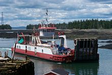 One of two ferries operated by the provincial government which connect Deer Island to the mainland (2001).
Deer Island is a Canadian island located in the Bay of Fundy at the entrance to Passamaquoddy Bay.
Elizabeth Rolfe died here in 1635. She was born in 1620 to English colonist John Rolfe and his third wife Jane Pierce. Her husband was John Milner of Nansemond, Virginia.
At 45 km², the island is the largest in the West Isles Parish which had a 2001 population of 851. Deer Island is entirely rural with the major communities being Fairhaven, Leonardville and Lord's Cove. The economy is primarily driven by the fishing and aquaculture industries although tourism is growing in importance.
The island is famous for playing host to Old Sow, the largest tidal whirlpool in the western hemisphere. Deer Island Point is also popular with scuba divers for its marine life.
The provincially operated Letete to Deer Island Ferry connects Deer Island with Letete on the Canadian mainland throughout the year. During the summer, privately operated ferries operate to the New Brunswick island of Campobello, and to the city of Eastport in the US state of Maine.
-

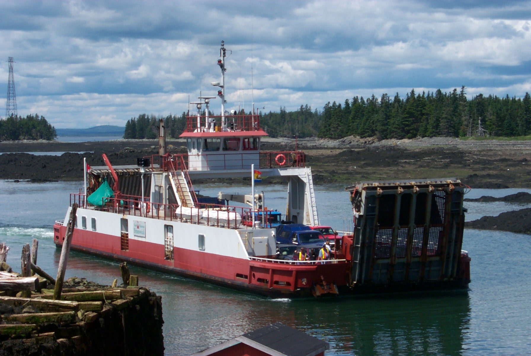
Ferry crossing between Deer Island (N.B.) and Eastport (ME).
-

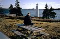
High tide at Deer Island Point.
-

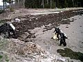
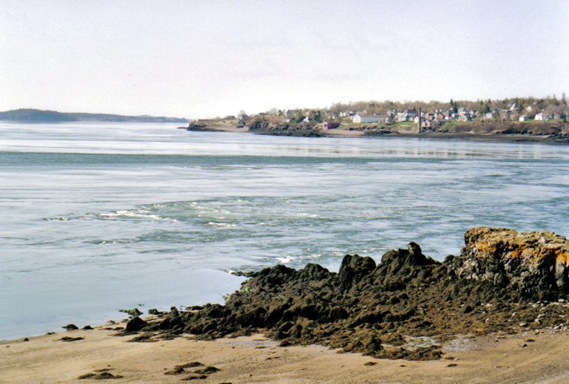
Low tide at Deer Island Point with the Old Sow in action.
-
Cargo ship sailing by Deer Island Point.
-

Scuba divers at Deer Island Point.
-

CanCat Beach.
-
Scuba divers at CanCat Beach.
External links
- RM Fish Shack on route to Deer Island
- Deer Island in the international Quoddy Loop
- Old Sow Whirlpool, nest to Deer Island, New Brunswick
- Deer Island is included in the Save Passamaquoddy Bay 3-Nation Alliance
- East Coast Ferries Ltd., running seasonally between Deer Island-Campobello Island, NB; and Deer Island-Eastport, Maine
- Website
Coordinates: 44°58′32.4″N 66°58′53.6″W / 44.975667°N 66.981556°W
Categories:- Canada–United States border crossings
- Islands of New Brunswick
- Communities in Charlotte County, New Brunswick
-


Wikimedia Foundation. 2010.