- Malapatan, Sarangani
-
Malapatan — Municipality — Map of Sarangani showing the location of Malapatan. Location in the Philippines
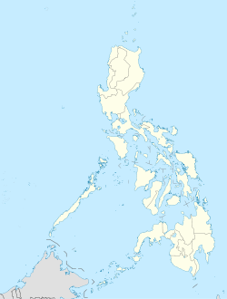
 Malapatan
Coordinates: 5°58′N 125°17′E / 5.967°N 125.283°ECoordinates: 5°58′N 125°17′E / 5.967°N 125.283°E Country  Philippines
Region SOCCSKSARGEN (Region XII) Province Sarangani District Lone district Founded Barangays 12 Government – Mayor Aida C. Singcoy Area – Total 624.56 km2 (241.1 sq mi) Population (2007) – Total 65,605 – Density 105/km2 (272.1/sq mi) Time zone PST (UTC+8) ZIP code 9516 Income class 1st class Population Census of Malapatan Census Pop. Rate 2000 53,876 — 2007 65,605 2.75%  Rice fields.
Malapatan is a 1st class municipality in the province of Sarangani, Philippines. According to the latest census, it has a population of 65,605 people in 10,208 households.
Malapatan is bounded on the west by Sarangani Bay, on the east by Davao del Sur, on the north by Alabel, and on the south by Glan.
The majority of the population are of Muslims or Maguindanaon origin.
According to the last general elections, it has a total voting population of 29,500 voters.
Economy
The economy of Malapatan is largely based on agriculture with a high level production of copra (dried coconut meat). Animal husbandry is the second biggest income earner, notably cattle farming. Other agricultural products are coconuts, maize, sugarcane, bananas, pineapples, mangoes, eggs, beef, fish.
The economy has accelerated in the past decade driven by advances in global communication technology and the finishing of a modern highway that tremendously improved trade and transport.
Barangays
Malapatan is politically subdivided into 12 barangays.
- Daan Suyan
- Kihan
- Kinam
- Libi
- Lun Masla
- Lun Padidu
- Patag
- Poblacion (Malapatan)
- Sapu Masla
- Sapu Padidu
- Tuyan
- Upper Suyan
External links
- Philippine Standard Geographic Code
- 1995 Philippine Census Information
- 2000 Philippine Census Information
- 2007 Philippine Census Information
Municipalities Categories:- Municipalities of Sarangani


Wikimedia Foundation. 2010.