- Clophill
-
Coordinates: 52°01′38″N 0°25′29″W / 52.0273°N 0.4248°W
Clophill 
 Clophill
Clophill shown within BedfordshirePopulation 1,750 [1] OS grid reference TL086380 Unitary authority Central Bedfordshire Ceremonial county Bedfordshire Region East Country England Sovereign state United Kingdom Post town BEDFORD Postcode district MK45 Dialling code 01525 Police Bedfordshire Fire Bedfordshire and Luton Ambulance East of England EU Parliament East of England UK Parliament Mid Bedfordshire List of places: UK • England • Bedfordshire
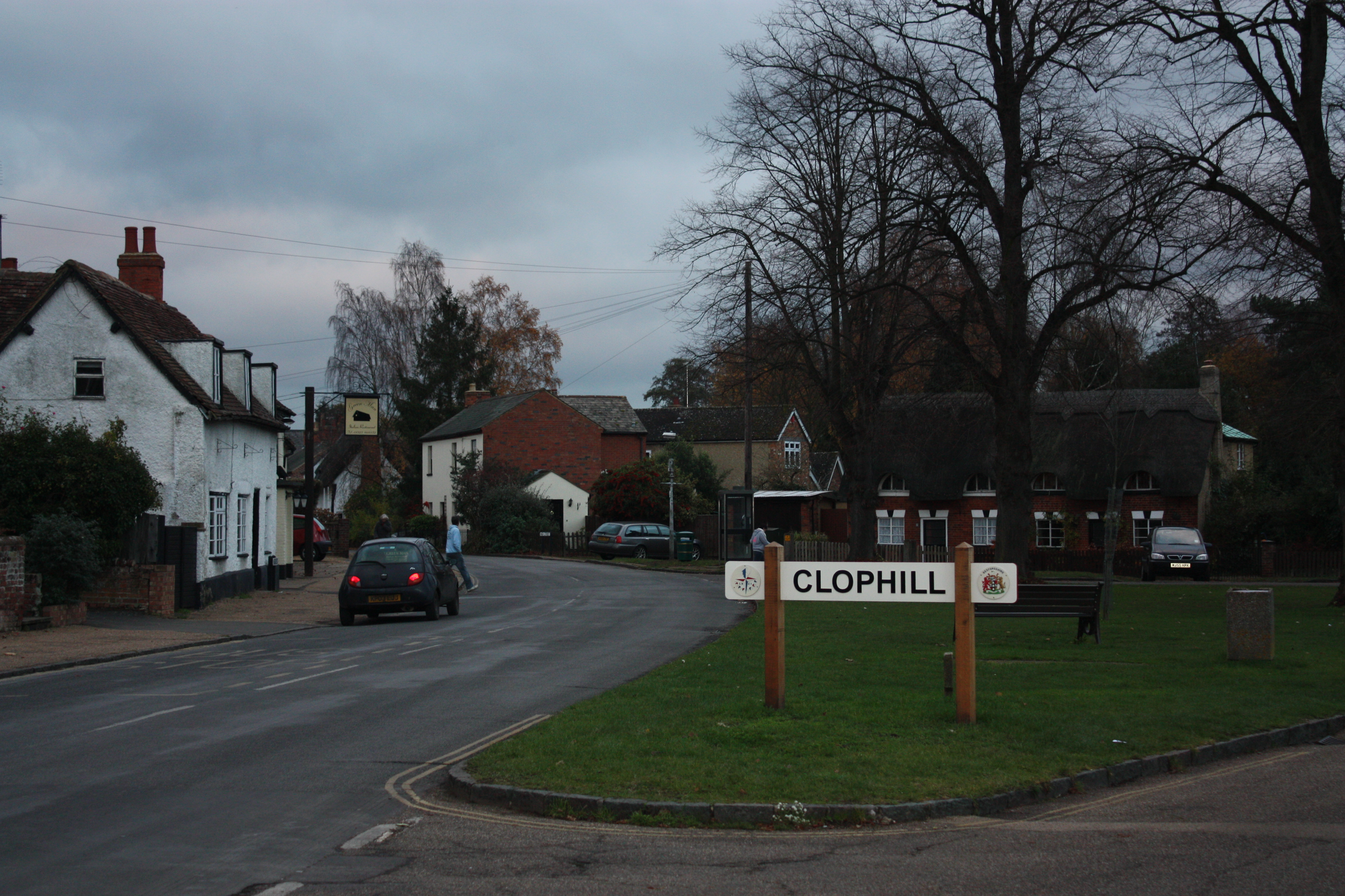
Clophill, is a small village and civil parish located in the Flit river valley, Bedfordshire, England. At this time the village belonged to a group of two or three hamlets – Beadlow, Cainhoe and possibly Moddry.It is recorded in the Domesday Book of 1086 as Clopelle; meaning tree-stump Hill in old English.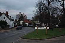 Entering Clophill
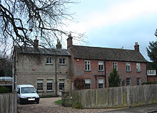 The Old Rectory
In the 1851 census, out of a total male population in Clophill of 560, there were some 238 agricultural labourers; some years later in 1871 census, out of a total female population in Clophill of 655, there were 264 Straw Plaiters.
This village received some fame when TV dog behaviourist, Victoria Stilwell, from the Channel 4 show It's Me Or The Dog featured a client with a problem Chihuahua.
Contents
A6 Murder
On August 22 1961 the infamous "A6 murder" took place just north of the village at Deadman's Hill on the A6 in the parish of Maulden so nothing to do with Clophill, really.
James Hanratty a professional car thief, was convicted of the murder of Michael Gregsten at Deadman's Hill. Gregsten's companion Valerie Storie was also raped and shot non-fatally during the incident. Charges on these additional crimes were "kept in reserve", but did not form part of the charges on which James Hanratty was tried and convicted and hanged at Bedford prison on the 4th April 1962.
Clophill's Churches
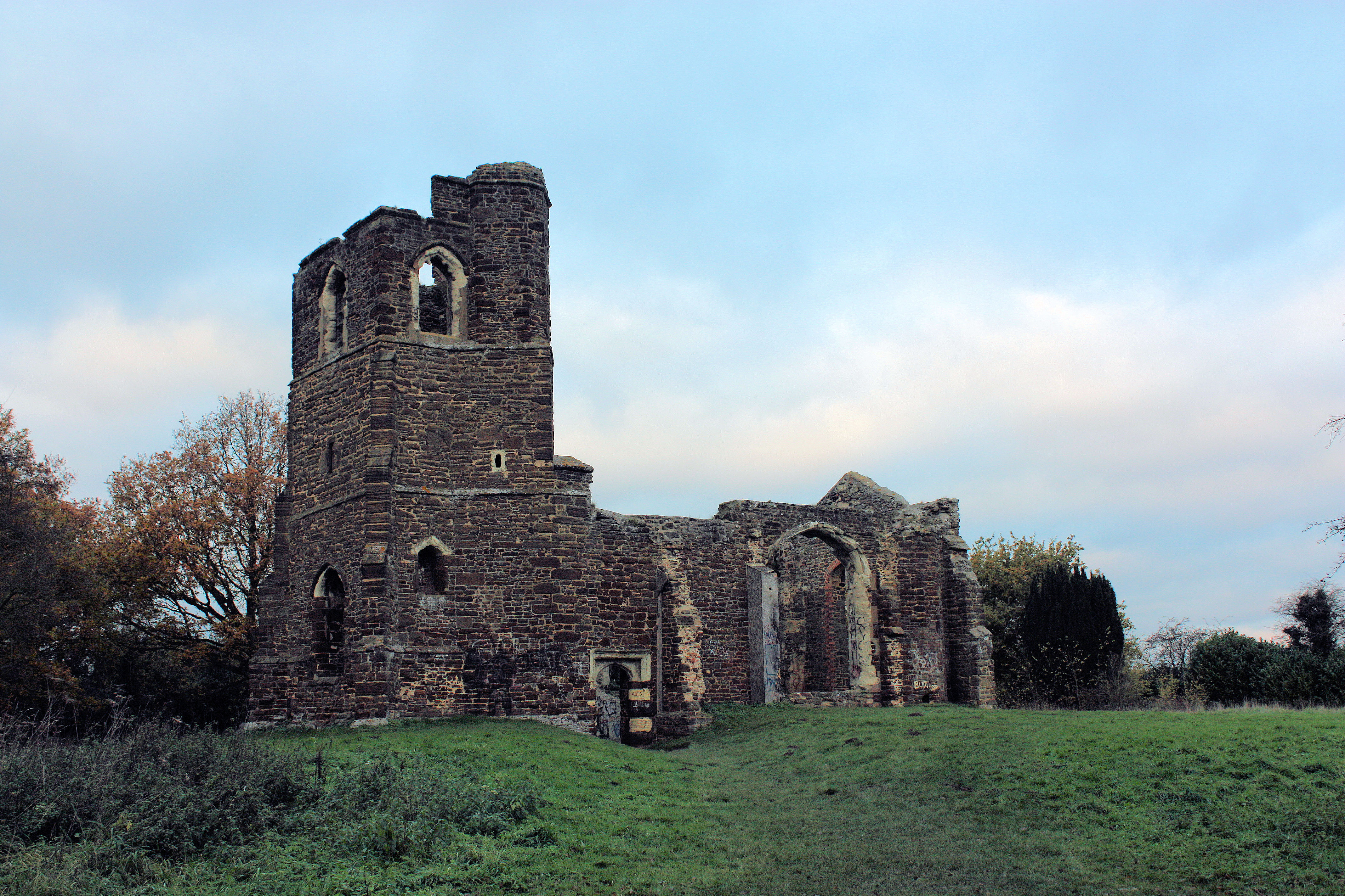
St Mary's Old church
 St Mary's old church
The ruined church of St Mary's, Clophill is a scheduled ancient monument. It was built around 1500 on the site of a much older church. The first recorded clergyman was Robert, priest of Clophill in 1145. However the village of Clophill is much older and evidence suggests that the site has been considered holy since Celtic times, as evidenced by the fact that the church is situated on a hill to the north east of Clophill village.
In Victorian times it was simply too small to be able to cope with the size of congregation so it was decided to build a new much larger church down in the village. This was consecrated in 1848 and the old church, with its chancel having been removed, was used as a mortuary chapel for the grave yard that remains in use by the village.
In 1898, the church was seemingly intact but redundant and was described as "containing several interesting memorial tablets to the Rev. Charles Fletcher M.A., 1753, the Rev. William Pierce Nethersole, vicar of Pulloxhill, 1799, and another to members of the family of the Rev. Ezekiel Rouse: the roof is of ancient oak. The register dates from the year 1568".[2].
In 1956 the lead was stolen from the roof of the old church and the decision was made, with great regret, to remove what could be salvaged to the new St Mary's Church in the village and allow the old church to decay gracefully as a ruin. With the windows and roof removed it was left as a shell.
This has proved unfortunate as it has opened the church to others whose intention has been less reverent. In 1963 one of the stone box graves was opened and the bones of Jenny Humberstone, an apothecary's wife who had died in the 1770s, were scattered about in what is generally considered to be a crude attempt at black magic. Further graves were similarly desecrated in 1969 and 1975.
This, and the proximity of the village to the A6 site of the Hanratty murder of 1961, combined to give the church a sinister reputation for the occult which it has never managed to shake off. Visitors looking for paranormal phenomena have reported faint lights that disappear when they reach the church and so a myth has grown that the church is haunted. However, villagers who visit the church every day to care for it and clear up rubbish left by visitors do not seem to have experienced anything unusual.
Several claims have developed around St Mary's Church in order to explain the supernatural tales. These include a popular claim that the church is orientated incorrectly. Actually, it is orientated due east, towards Jerusalem, as are many other churches. The Christian church does not recognise any orientation to be "incorrect" or "Satanic" and there are many other churches that are not orientated due east.
In more recent years the church has been used as a gathering point for illegal drug distribution and has suffered substantial vandalism as a result, much to the distress of villagers and residents along Church Path. This has reduced more recently since the installation of CCTV cameras, an increased police presence and a few prosecutions.
Now the old St Mary's church may have a completely new life in front of it. Plans are in progress to convert it into a bothy to provide overnight accommodation for walkers on the Greensand Ridge walk, with a full time warden on site. This would preserve and respect the old structure and would not be visible from the outside, leaving the impression that the building is still a ruin. It would also use micro-generation for power and be an exemplar of eco-friendly best practice. Clophill sits exactly half way along the route of the walk, which passes through the old churchyard by the church, so is ideally placed to offer a resting spot as the number of walkers on the ridge rises.
The Church is only accessible by foot. It sits on the top of the Greensand Ridge and enjoys spectacular views over the surrounding countryside as well as being a haven for flowers and wildlife.
New churches
The new St Mary's church is located in the High Street in the village. It was consecrated in 1848. The current rector is the Rev Dean Henley.
In addition to St Mary's, which is Church of England, there is also the Clophill Methodist Church.
Public Houses
- The Stone Jug. Back Street.
- The Green Man - La Stalla (Restaurant). The Green.
- The Flying Horse. The Green.
Notable residents
- Clophill is the birthplace in 1905 of Boss Meyer, the founder of the famous sporting school, Millfield School in Somerset. Meyer's father Rollo, was then the local clergyman.
- Between 1975 and 1984 Clophill was the childhood residence of Alexandria, Virginia politician David Englin. Englin was born David Lawrence English, but when he married Shayna Beth Wolin in 1996, the two combined their last names to make Englin.
External links
- Clophill pages at the Bedfordshire and Luton Archives and Records Service
- Official Clophill Village Church Website
- Photograph of the ruined church
- Clophill history site
- British History article on Clophill, excerpt from 'A History of the County of Bedford Vol 2', written 1908 by William Page Clophill History
- Documentary about the old church by Michael McKirgan: Clophill church.
- Bedfordshire County Council information on Clophill Church: Clophill Church
References
- ^ Central Bedfordshire Council, Population of Central Bedfordshire, estimate for 2009.
- ^ Kelly's Directory - Bedfordshire (1898)
Categories:- Villages in Bedfordshire
- Civil parishes in Bedfordshire
- Murder


Wikimedia Foundation. 2010.