- Missenden Abbey
-
Coordinates: 51°42′03″N 0°42′10″W / 51.700759°N 0.702853°W
Missenden Abbey 
Missenden Abbey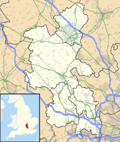
 Missenden Abbey
Missenden Abbey shown within BuckinghamshireOS grid reference SP8901 Parish Great Missenden District Chiltern Shire county Buckinghamshire Region South East Country England Sovereign state United Kingdom Post town GREAT MISSENDEN Postcode district HP16 Dialling code 01494 Police Thames Valley Fire Buckinghamshire Ambulance South Central EU Parliament South East England List of places: UK • England • Buckinghamshire Missenden Abbey (also referred to as Great Missenden Abbey) was an Augustinian monastery founded in 1133 in Great Missenden, Buckinghamshire, United Kingdom. It was ruined in the Dissolution of the Monasteries and the ruins later incorporated into a Georgian mansion.
The abbey has been owned by Buckinghamshire New University since the mid 1990s. It is now used as a conference centre.[1]
References
- ^ "history of the abbey". Missenden Abbey website. http://www.missendenabbey.co.uk/about/history.php. Retrieved ~~~~~.
External links
Categories:- Country houses in Buckinghamshire
- Buckinghamshire New University
- Buckinghamshire geography stubs


Wikimedia Foundation. 2010.