- Hinoemata, Fukushima
Japanese city
Name = Hinoemata Village
JapaneseName = 檜枝岐村
Prefecture =Fukushima Prefecture
Region =Tohoku
Area_km2 = 390.50
Population = 635
PopDate =March 1 ,2007
Density_km2 = 1.63
Coord =
Postal code =
Area code =
Mayor =
Tree =Chamaecyparis obtusa
Flower = Asian skunk cabbage
Bird =
Symbol
CityHallPostalCode = 967-0525
CityHallAddress = Hinoemata-mura, 880 Shimonohara
CityHallPhone = 0241-75-2311
CityHallLink = [http://www.hinoemata.com/oze/ Hinoemata Village]
City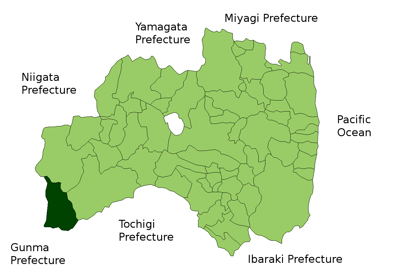
Elevation =Hinoemata (檜枝岐村; -mura) is a village located in Minamiaizu District, Fukushima,
Japan . It is locally famous for its soba (buckwheat noodles) and known nationally for itskabuki performances and as a gateway to the Oze marshlands.Skiing and
rotenburo can be enjoyed here, also the Mini Oze Koen park which contains theTakeda Hisayoshi Memorial Hall commemorating the noted botanist and alpinist of the same name, who was the second son ofSir Ernest Satow .As of
March 1 ,2007 , the village had an estimatedpopulation of 635 and a density of 1.60 persons per km². The total area is 390.50 km².Geography
Located in the southwestern corner of
Fukushima prefecture , Hinoemata is surrounded by the mountains Komagatake, Mount Taishaku, and Hiuchigatake (the highest mountain in northwestern Japan). Between these mountains runs the Hinoemata River. It is known for having the smallest number of people per kilometer.* Mountains: Komagatake (2133 m), Mount Taishaku (2356 m), Hiuchigatake (2080 m)
* Rivers: Hinoemata River
* Lakes:Ozegahara urrounding municipalities
*
Fukushima Prefecture
** Tadami
**Minamiaizu
*Niigata Prefecture
** Uonuma
*Gunma Prefecture
** Katashina
*Tochigi Prefecture
**Nikko Education
*
Primary Schools
** Hinoemata Elementary School
*Junior High Schools
** Hinoemata Intermediate SchoolNotable places
* Okutadami Dam
*:Okutadami Dam is located on theAgano River , betweenFukushima prefecture andNiigata prefecture . Hinoemata is situated on the east bank of the dam lake.
* Hinoemata Hot Spring
* Sanjō Waterfall
* Komagatake
* Hiuchigatake
* Mount TaishakuExternal links
*ja icon [http://www.hinoemata.com/oze/ Hinoemata official website]
Wikimedia Foundation. 2010.