- Damyns Hall Aerodrome
-
Damyns Hall Aerodrome IATA: none – ICAO: EGML Summary Airport type Private Operator Damyns Hall Aerodrome Location Upminster Elevation AMSL 56 ft / 17 m Coordinates 51°31′43″N 000°14′44″E / 51.52861°N 0.24556°ECoordinates: 51°31′43″N 000°14′44″E / 51.52861°N 0.24556°E Website Map Location in Havering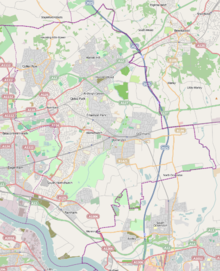
 EGML
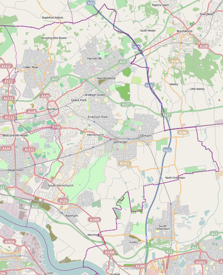
EGMLRunways Direction Length Surface m ft 03/21 599 1,965 Grass 14/32 n/a n/a Unlicensed Sources: UK AIP at NATS[1] Damyns Hall Aerodrome (ICAO: EGML) is located 2 NM (3.7 km; 2.3 mi) south of Upminster in the London Borough of Havering, England.
Damyns Hall Aerodrome is an unlicensed airfield from which some flying instruction takes place and is run by Damyns Hall Aerodrome Limited.
The Damyns Hall Aerodrome is headquarters to the Rochester Microlights Club and flying school.[2]
Also, home to Microlight sport aviation ltd, another flying school based at Damyn's Hall flying the Flight Design CTSW aircraft.
Damyns Hall Aerodrome has an Air/Ground radio service as Hornchurch Radio on 119.55 MHz.
The aerodrome grounds are currently home to the annual (early August) Military and Flying Machines show.
References
http://www.londonairsports.com/www.microlightsport.co.uk/
Public London Heathrow Airport · Gatwick Airport · London Stansted Airport · London Luton Airport · London City Airport · London Southend AirportMilitary Private London Biggin Hill Airport · Damyns Hall AerodromeCategories:- Airports in the London region
- Transport in Havering
- United Kingdom airport stubs
Wikimedia Foundation. 2010.