- Shire of Atherton
"As at 15 March 2008 this former local government area ceased to exist, having been wholly amalgamated into the
Tablelands Regional Council ."Infobox Australian Place | type = lga
name = Shire of Atherton
state = qld
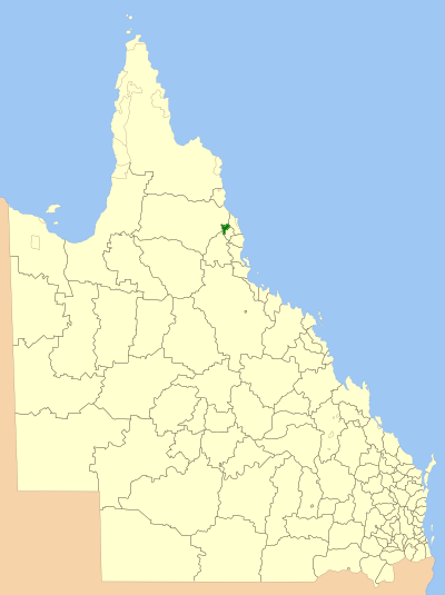
imagesize= 180
caption = Location withinQueensland
pop = 10,509 (2001 census)
area = 620
est = 1902
seat = Atherton
mayor = Jim Chapman
region =Far North Queensland

logosize = 130
url = http://www.athertonsc.qld.gov.au/
stategov = Tablelands
fedgov = Kennedy
near-nw = Mareeba
near-n = Mareeba
near-ne = Cairns
near-w = Mareeba
near-e = Cairns
near-sw = Herberton
near-s = Eacham
near-se = EachamShire of Atherton is a Local Government Area in
Far North Queensland ,Australia . The shire is situated on theAtherton Tableland , a plateau forming part of theGreat Dividing Range west of the city of Cairns. Atherton Shire includes the towns of Kairi, Tinaroo, Tolga and the administrative centre, Atherton.The shire was originally known as the Tinaroo Shire; the name was changed to Atherton Shire in 1935. [ [http://www.athertonsc.qld.gov.au/council_history.htm Atherton Shire Council] - Shire History. Retrieved 15 December 2006.]
External links
* [http://www.lgp.qld.gov.au/applications/lgdirectory/CouncilInfo/Default.aspx?OrgCode=ATHE Queensland Department of Local Government & Planning] - Local Government Directory.
References
Wikimedia Foundation. 2010.