- Washoe Creek
Geobox|River
name = Washoe Creek
native_name =
other_name =
category =perennial stream
etymology =Washo language
nickname =
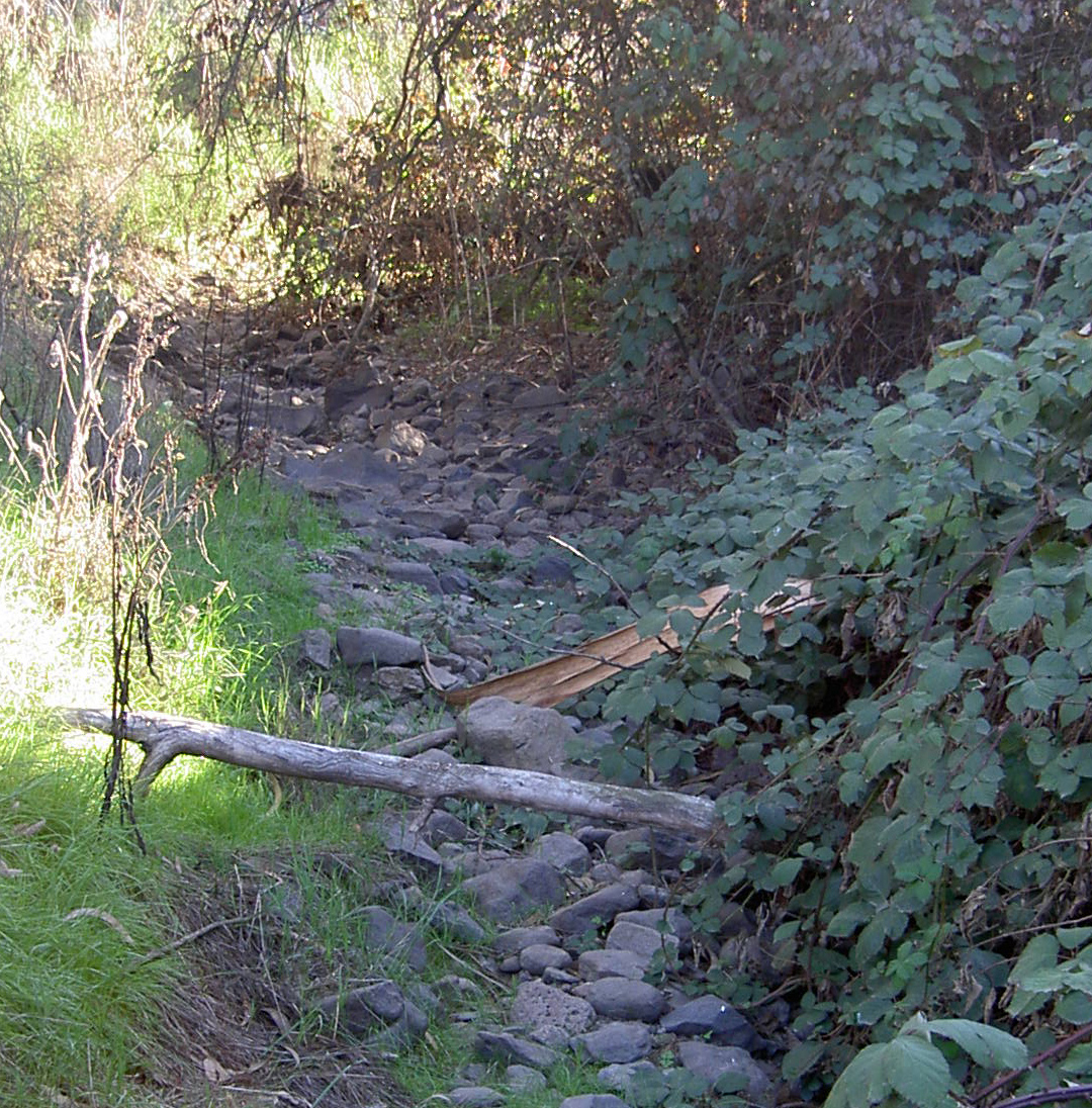
image_caption = Rocky streambed in the upper reaches of Washoe Creek.
country =United States
state =California
region = Sonoma County
district =
municipality =
parent =
tributary_right =
tributary_left = Gossage Creek
city = Cotati
landmark =
river =
source =
source_location = convert|3|mi|km|0|lk=on|abbr=on southwest of Cotati
source_region =California | source_country =
source_elevation_imperial = 400
source_lat_d = 38 | source_lat_m = 18 | source_lat_s = 25 | source_lat_NS = N
source_long_d = 122 | source_long_m = 44 | source_long_s = 58 | source_long_EW = W
source_coordinates_note =Gnis|237318|Washoe Creek]
source1 =
source1_location = | source1_region = | source1_country =
source1_elevation_imperial =
source1_lat_d = | source1_lat_m = | source1_lat_s = | source1_lat_NS =
source1_long_d = | source1_long_m = | source1_long_s = | source1_long_EW =
source_confluence =
source_confluence_location = | source_confluence_region = | source_confluence_country =
source_confluence_elevation_imperial =
source_confluence_lat_d = | source_confluence_lat_m = | source_confluence_lat_s = | source_confluence_lat_NS =
source_confluence_long_d = | source_confluence_long_m = | source_confluence_long_s = | source_confluence_long_EW =
mouth =Laguna de Santa Rosa
mouth_location = west of Rohnert Park
mouth_region =California | mouth_country =
mouth_elevation_imperial = 85
mouth_elevation_note =
mouth_lat_d = 38 | mouth_lat_m = 21 | mouth_lat_s = 0 | mouth_lat_NS = N
mouth_long_d = 122 | mouth_long_m = 43 | mouth_long_s = 59 | mouth_long_EW = W
mouth_coordinates_note =
length_imperial = 2 | length_orientation =
width_imperial = | width_orientation =
depth_imperial =
volume_imperial =
watershed_imperial =
discharge_imperial =
discharge_max_imperial =
discharge_min_imperial =
free = | free_type =
map_caption =
map_background =
map_locator =
map_locator_x =
map_locator_y =
website =
footnotes =Washoe Creek coord|38.297192|N|122.726238|W| is a
perennial stream located inSonoma County, California . It is about convert|2|mi|km|0|lk=on|abbr=on long and discharges to theLaguna de Santa Rosa . ["Santa Rosa Quadrangle", Fifteen minute series,USGS Quadrangle Map, U.S. Government Printing Office, Washington DC (1958)]Washoe Creek rises in the low lying Meacham Hills southwest of the city of Cotati. It descends to the northeast, flowing under Roblar Road and Stony Point Road. It then turns northward and parallels Stony Point Road, crossing under West Sierra Avenue and Madrone Avenue. Gravenstein Highway (State Route 116) crosses the creek, which then enters an artificial channel. Gossage Creek enters from the west, and shortly thereafter the creek ends at a confluence with the Laguna de Santa Rosa just west of Rohnert Park.
The original native
riparian vegetation was likelyriparian woodland , withValley Oak savanna andgrassland on the upland east and west. ["Environmental Impact Report for the West Gravenstein Specific Plan", Earth Metrics Report 7526, city of Cotati (1989)] The nativehabitat s have been largely altered or replaced, due to the modern uses ofgrazing ,agriculture , and urban development. In streamnitrate concentrations are noticeably higher for Washoe Creek than otherwatercourse s within the Laguna de Santa Rosa watershed. [ [http://www.waterboards.ca.gov/rwqcb1/down/russriv/062703RRFirstFlushAppD2002.pdf Summary of water quality data for the Laguna de Santa Rosa Basin] ] The lower reach is under consideration for a restoration project. [ [http://www.lagunafoundation.org/progress_report.html Laguna de Santa Rosa Foundation Restoration Plans] ]History
This area was settled at least as early as 2000 BC by the
Coast Miwok peoples, who built small villages along the banks of Washoe Creek and other local watercourses. These early peoples were gatherers and utilized resources of the creek as well as upland areas for subsistence. In 1833 this entire area around present Cotati was part of a Mexicanland grant .One of the area's American pioneers was Robert Ayres, who in 1859 built
Washoe House near the creek's headwaters.cite web|url=http://www.markeroni.com/catalog/display.php?code=CA_ECV_00046|title=Markeroni: Washoe House]In the early 1900's, a rock quarry on Peterson Road (Gossage Creek watershed) was abandoned, and a new quarry was begun on Stony Point Road. [cite web|url=http://sprqinc.com/about.html|title=Stony Point Rock Quarry Inc.: Our History|accessdate=2007-12-02] The creek lies just across Stony Point Road from the current quarry site.
ee also
*"
Limnanthes vinculans "
*List of watercourses in the San Francisco Bay Area
*Quarry
*Riparian zone References
External links
* [http://www.eswr.com/cd120501a.txt Consent Decree regarding violation of section 303 and 404 U.S. Water Quality Acts involving Washoe Creek]
Wikimedia Foundation. 2010.