- Modbury North, South Australia
-
Modbury North
Adelaide, South Australia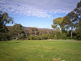
Population: 5,569 (Modbury North 2006 census) Postcode: 5092 LGA: City of Tea Tree Gully Suburbs around Modbury North: Para Hills Modbury Heights Redwood Park Para Vista Modbury North Ridgehaven Clovercrest Modbury Modbury Modbury North is a suburb 14 km northeast of Adelaide, capital city of South Australia.
Modbury North is a suburb in the City of Tea Tree Gully Council area.
The suburb's predominant boundary is defined by Golden Grove Road - Dry Creek, Milne Road, Montague Road and Kelly Road.
[File:Montague rd. modbury and n.JPG|Montague Road|thumb]]Dry Creek runs along the eastern boundary of Modbury North and in flows to the creek are stored in the Kingfisher Wetlands Project, a water catchment area that has provided a habitat for birds, insects and lizards. It is a popular recreational space for walking, cycling, and exercising pets.
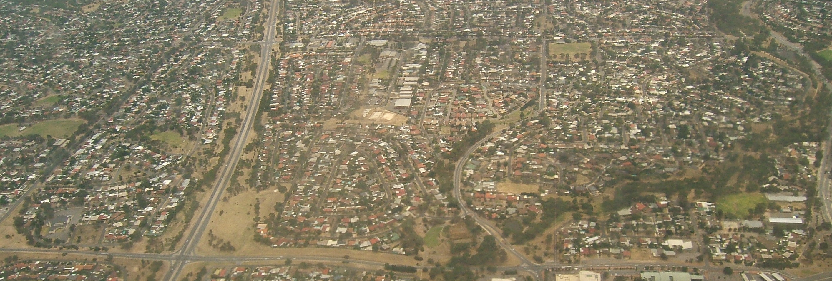
 Aerial image of Modbury North, looking north. Montague Road is the east-west road at the bottom, and Milne Road at the top. From left to right, the two vertical north-south roads are McIntyre and Ladywood Roads. The part above Montague Road is Modbury North.
Notes
Suburbs of the City of Tea Tree Gully Banksia Park · Dernancourt · Fairview Park · Gilles Plains · Golden Grove · Gould Creek · Greenwith · Gulfview Heights · Highbury · Holden Hill · Hope Valley · Houghton · Modbury · Modbury Heights · Modbury North · Para Hills · Redwood Park · Ridgehaven · St Agnes · Salisbury East · Salisbury Heights · Surrey Downs · Tea Tree Gully · Upper Hermitage · Valley View · Vista · Wynn Vale · Yatala ValeCategories:- Suburbs of Adelaide
- Adelaide geography stubs

Wikimedia Foundation. 2010.