- Mount Kunyit
-
Mount Kunyit 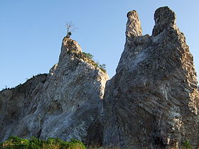
Elevation 2,151 m (7,057 ft) [1] Location Location Sumatra, Indonesia Range Bukit Barisan Coordinates 2°35′31″S 101°37′48″E / 2.592°S 101.63°E Geology Type Stratovolcano Last eruption Unknown Mount Kunyit (Indonesian: Gunung Kunyit, means: Turmeric Mountain) is a fumarolic stratovolcano on Sumatra, Indonesia. The summit contains two craters; the uppermost is a crater lake.[1]
See also
References
- ^ a b "Kunyit". Global Volcanism Program. Smithsonian Institution. http://www.volcano.si.edu/world/volcano.cfm?vnum=0601-19=. Retrieved 2006-12-27.
Categories:- Volcanoes of Sumatra
- Stratovolcanoes
- Mountains of Indonesia
- Crater lakes
- Indonesia geography stubs

Wikimedia Foundation. 2010.