- City of Charters Towers
-
City of Charters Towers
Queensland
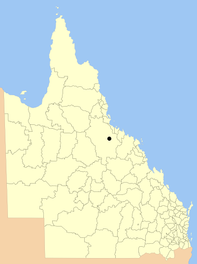
Location within QueenslandPopulation: 8,155(2006 census)[1] Established: 1877 Area: 42.0 km² (16.2 sq mi) Council Seat: Charters Towers Region: North Queensland 
The City of Charters Towers was a Local Government Area located in North Queensland, Australia, consisting of the centre and suburbs of the town of Charters Towers. Established in 1877, it was entirely surrounded by the Shire of Dalrymple, with which it amalgamated in 2008 to form the Charters Towers Region.
Contents
History
The Charters Towers Municipality was proclaimed on 21 June 1877 under the Municipal Institutions Act 1864.[2] It achieved a measure of autonomy in 1878 with the enactment of the Local Government Act. With the passage of the Local Authorities Act 1902, Charters Towers became a town council on 31 March 1903. On 13 April 1909, Charters Towers was proclaimed a City.[3]
A separate Shire of Queenton was excised from the surrounding Dalrymple Division on 2 July 1902, and merged with the City on 23 December 1916.
On 15 March 2008, under the Local Government (Reform Implementation) Act 2007 passed by the Parliament of Queensland on 10 August 2007, the City of Charters Towers amalgamated with the Shire of Dalrymple to form the Charters Towers Region.
Suburbs
- Charters Towers
- Alabama Hill
- Columbia
- Grand Secret
- Lissner
- Millchester
- Mosman Park
- Queenton
- Richmond Hill
- Towers Hill
Population
Year Population 1933 6,978 1947 7,561 1954 6,961 1961 7,633 1966 7,602 1971 7,518 1976 7,914 1981 6,823 1986 7,208 1991 9,016 1996 8,893 2001 8,492 2006 8,155 References
- ^ Australian Bureau of Statistics (25 October 2007). "Charters Towers (C) (Local Government Area)". 2006 Census QuickStats. http://www.censusdata.abs.gov.au/ABSNavigation/prenav/LocationSearch?collection=Census&period=2006&areacode=LGA32300&producttype=QuickStats&breadcrumb=PL&action=401. Retrieved 17 September 2009.
- ^ 28 Vic No. 21 (Imp)
- ^ Queensland Government Gazette, Vol. XCII, 13 April 1909, p.1019.
Categories:- Populated places established in 1877
- 1877 establishments in Australia
- Former Local Government Areas of Queensland
Wikimedia Foundation. 2010.