- Cilurnum
-
Cilurnum 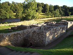
Remains of the bathhouse at Chesters fort
This article is part of the series on:
Military of ancient Rome (portal)
753 BC – AD 476Structural history Roman army (unit types and ranks, legions, auxiliaries, generals) Roman navy (fleets, admirals) Campaign history Lists of wars and battles Decorations and punishments Technological history Military engineering (castra, siege engines, arches, roads) Political history Strategy and tactics Infantry tactics Frontiers and fortifications (limes, Hadrian's Wall) 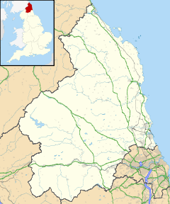
 Cilurnum
 Cilurnum shown within Northumberland
OS grid reference NY911701 List of places: UK • England • Northumberland Cilurnum or Cilurvum was a fort on Hadrian's Wall mentioned in the Notitia Dignitatum. It is now identified with the fort found at Chesters (also known as Walwick Chesters to distinguish it from other sites named Chesters in the vicinity) near the village of Walwick, Northumberland, England. It was built in 123 AD, just after the wall's completion.
Cilurnum is considered to be the best preserved Roman cavalry fort along Hadrian's Wall. There is a museum on the site, housing finds from the fort and elsewhere along the wall.
Contents
Construction
The site guarded a bridge carrying the military road behind the wall across the River North Tyne at this point, whose abutments survive. It was a cavalry fort at its foundation, for retaliatory raids into barbarian areas north of the wall, then given over to infantry later. Hadrian himself encouraged the "Cult of Disciplina" amongst legions stationed at the wall, and an early inscription on an altar dedicated to Disciplina, found in 1978, indicates the earliest known military presence was a wing of cavalry, ala Augusta ob virtutem appellata ("named Augusta because of its valour"). Inscriptions have also been found showing the First Cohort of Dalmatians and the First Cohort of Vangiones from Upper Rhineland in Germany were also stationed here.
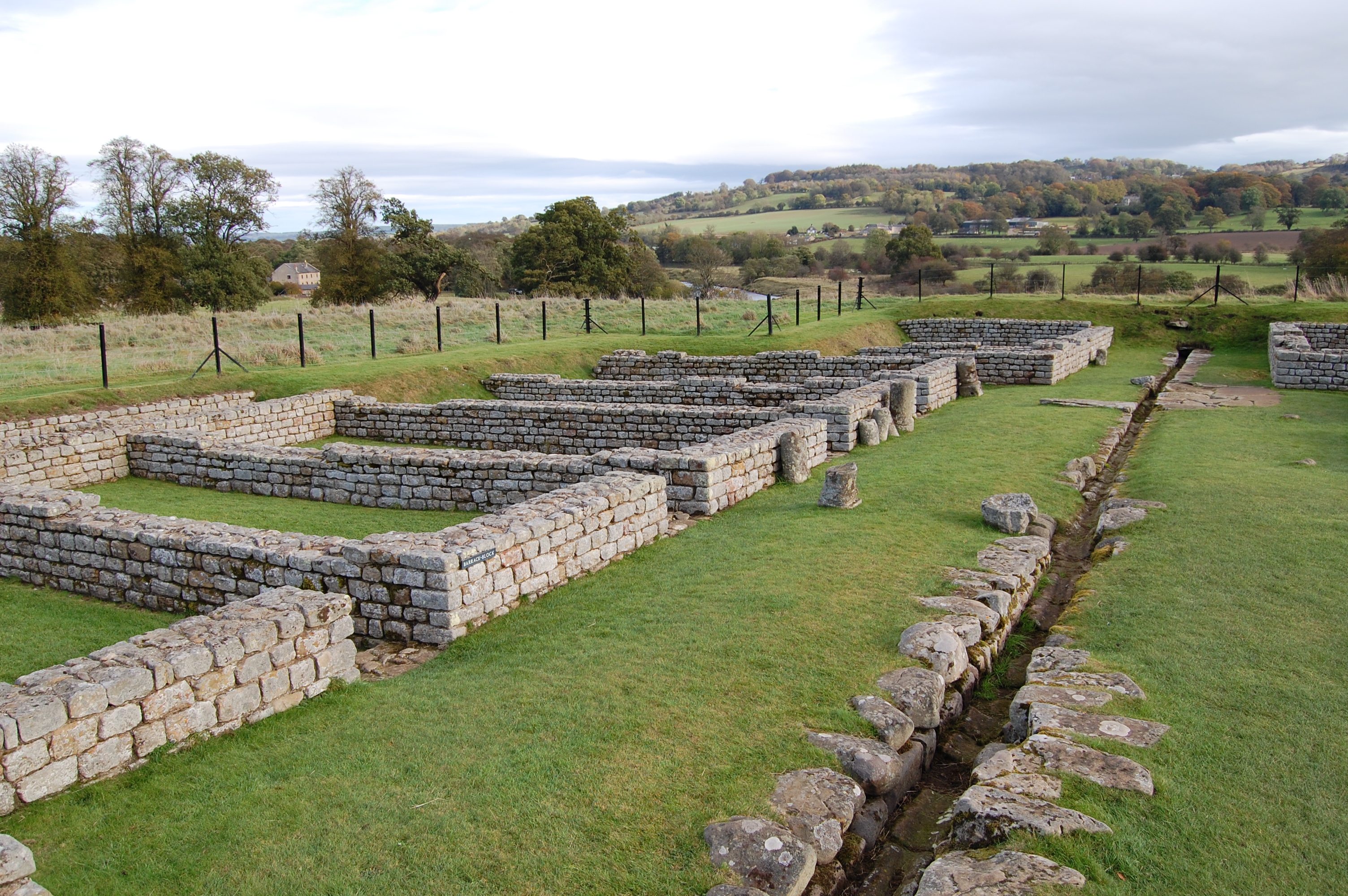
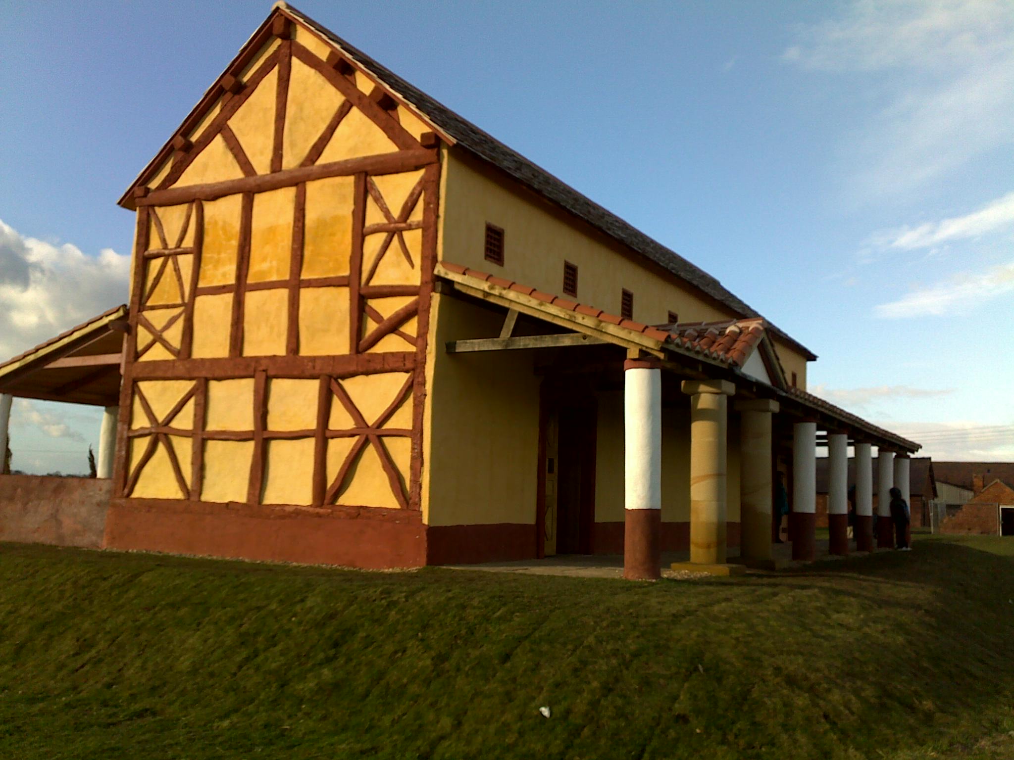
 Barracks
Excavation
In the early 19th century Nathaniel Clayton, owner of Chesters House and Estate, moved hundreds of tons of earth to cover over the last remains of the fort as part of his parkland landscaping, thereby creating a smooth uninterrupted grassland slope down to the River Tyne; he collected, before they disappeared, a number of Roman artefacts which he preserved in the family. However his son John Clayton, a noted antiquarian, removed all his father's work, exposing the fort, excavating, and establishing a small museum for his finds. John Clayton also made excavations at Housesteads Fort, Carrawburgh Mithraic Temple, and Carvoran, amongst others.
Museum
The museum was commissioned in 1895 and opened in 1903. It is a grade II* listed building and was designed by Richard Norman Shaw. It displays part of John Clayton's collection of Roman finds.[1]
Sources
- Roman Britain
- English Heritage
- Details from listed building database (239983) - museum, grade II* listed. Images of England. English Heritage.
See also
- Chesters Bridge
- Petrosomatoglyph Male fertility symbol
References
External links
- CILURNUM FORT On the line of Hadrian's Wall as it exists today
- Chesters Roman Fort - official site at English Heritage
Coordinates: 55°01′34″N 2°08′23″W / 55.0261°N 2.1397°W
Wall Forts (East to West) Segedunum • Pons Aelius • Condercum • Vindobala • Onnum • Cilurnum • Procolita • Vercovicium • Aesica • Magnis • Banna • Camboglanna • Uxelodunum • Aballava • Coggabata • Maia
Outpost Forts Stanegate Forts Corstopitum • Newbrough • Vindolanda • Haltwhistle Burn • Magnis • Throp • Nether Denton • Castle Hill Boothby • Brampton Old Church • LuguvaliumSupply Forts Roman visitor sites in the UK Villas Bignor • Brading • Chedworth • Crofton • Dover Painted House • Littlecote • Lullingstone • Fishbourne • Newport • Piddington • Rockbourne • Wroxeter
Forts & Military Arbeia • Binchester • Birdoswald • Caerleon • Chesters • Housesteads • Lunt • Carvoran Roman Army Museum • Pevensey Castle • Portchester Castle • Richborough • Segedunum • VindolandaTowns Roman Museums Canterbury Roman Museum • Carvoran Roman Army Museum • Corinium Museum • Jewry Wall Museum • Ribchester • Senhouse Roman Museum • Trimontium Trust (Melrose) • Verulamium MuseumOther sites Bath Roman Baths • Caerleon Roman Baths • Verulamium Roman Theatre • Welwyn Roman Baths • York Roman BathsCategories:- Forts of Hadrian's Wall
- Roman forts in England
- Roman sites in Northumberland
- English Heritage sites in Northumberland
- Museums in Northumberland
- Museums of Ancient Rome in the United Kingdom
- Archaeology museums in England


Wikimedia Foundation. 2010.