- Thule Island
-
- Not to be confused with the town of Thule, Greenland.
Thule Island 
Flag of South Georgia and the South Sandwich Islands.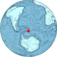
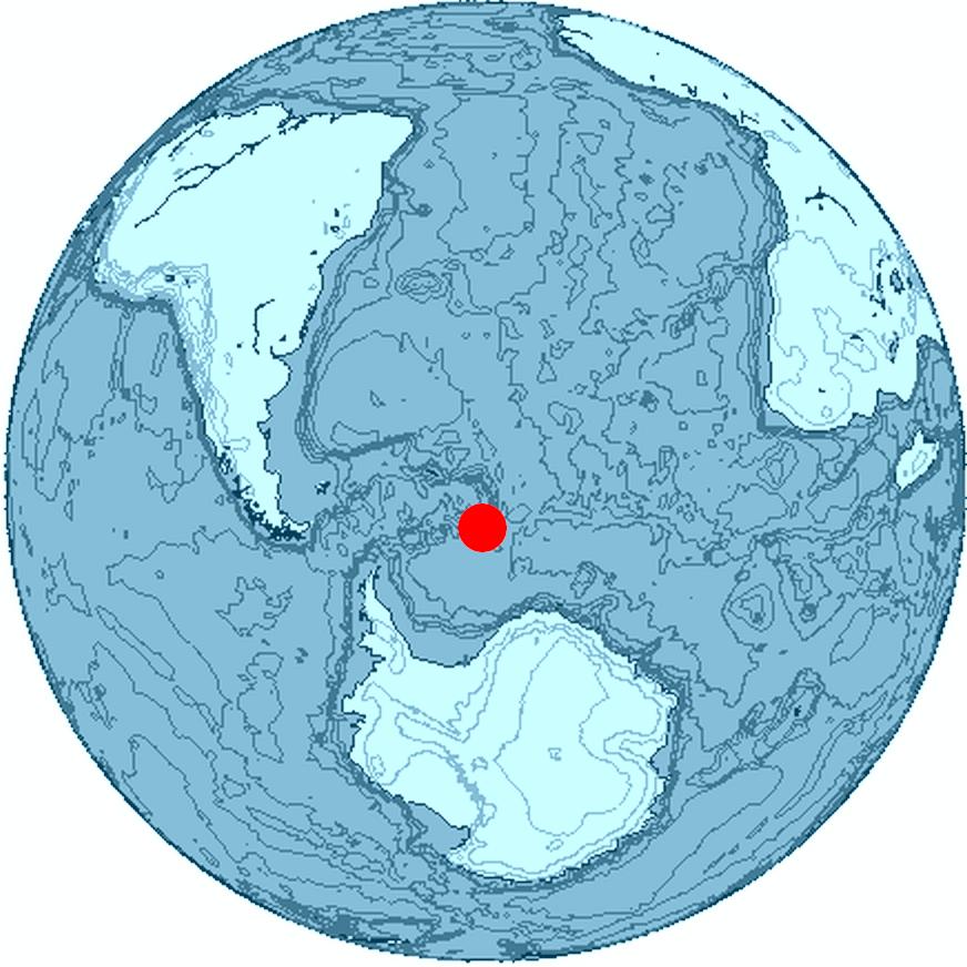
Location of Thule IslandGeography Coordinates 59°27′S 27°18′W / 59.45°S 27.3°W Archipelago South Sandwich Islands Area 5.5 km2 (2.12 sq mi) Highest elevation 3,525 ft (1,074.4 m) Country Demographics Population Uninhabited Thule Island, also called Morrell Island, is one of the southernmost of the South Sandwich Islands, part of the grouping known as Southern Thule. It is named, on account of its remote location, after the mythical land of Thule, said by ancient geographers to lie at the extreme end of the earth. The alternative name Morrell Island is after Benjamin Morrell, US explorer and whaling captain.
Contents
Geography
Thule Island is approximately triangular in shape and 5.5 square miles (14 km2) in area with a 3 km (1.9 mi) long, panhandle-like peninsula extending to the southeast. Steep slopes ascend to a 1.5 by 2 km (0.93 by 1.2 mi) summit caldera with the peak of Mount Larsen at 710 m (2,329 ft) above sea level. Mount Larsen is named after the Antarctic explorer and whaler Carl Anton Larsen. Off the southeastern tip lies the small islet of Twitcher Rock, the southernmost land on Earth except for Antarctica and offshore islands considered part of Antarctica.
Thule Island lies close to Cook Island and Bellingshausen Island. It is thought that Thule and Cook may have been a larger single island in the past, and there is evidence for a submerged crater between the two. Steam from the summit crater lake and ash on the flank was reported in 1962. Volcanic heat keeps the crater on Thule Island free from ice. The peak elevation is 3,525 feet (1,074 m).
Argentine occupation
- See also: Southern Thule.
Argentina, in order to assert its claim over the South Sandwich Islands, established the summer station Teniente Esquivel at Ferguson Bay on the Southeastern coast on January 25, 1955. The station had to be evacuated in January 1956 because of volcanic eruption. In 1976, it established a military base on Thule Island called Corbeta Uruguay (Port Faraday) in the lee (southern East coast) of the island. The British discovered the presence of the Argentine base in 1976 but chose to pursue a diplomatic solution to the issue until 1982. The base was occupied by British Forces in the aftermath of the Falklands War and eventually destroyed in 1982.[1]
See also
References
- ^ Stonehouse, Bernard (2002), Encyclopedia of Antarctica and the southern oceans, Wiley, p. 264, ISBN 9780471986652
Sources
- "Thule Islands" at Global Volcanism Program
- LeMasurier, W. E.; Thomson, J. W. (eds.) (1990). Volcanoes of the Antarctic Plate and Southern Oceans. American Geophysical Union. p. 512 pp. ISBN 0-87590-172-7.
- volcano.und.edu
- Thule Island at OceanDots.com
Categories:- South Georgia and the South Sandwich Islands geography stubs
- Islands of the South Sandwich Islands
- Volcanoes of the Atlantic Ocean
- Volcanoes of South Georgia and the South Sandwich Islands
- Uninhabited islands of South Georgia and the South Sandwich Islands
- Crater lakes

Wikimedia Foundation. 2010.