Ozama River

Ozama River
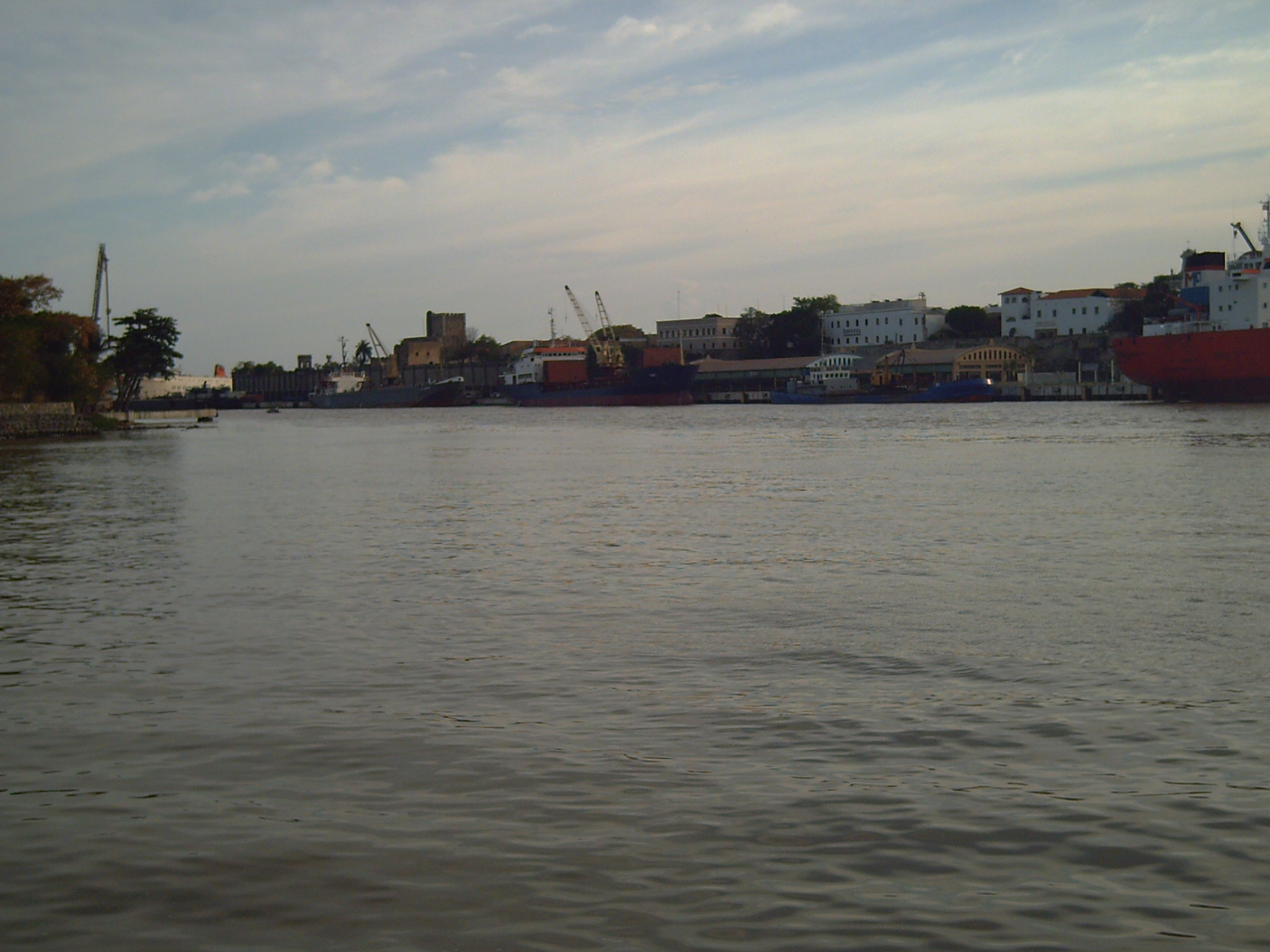
Ozama
River
Ozama River in Santo Domingo
Country Dominican Republic
Tributaries
 - left Savita, Yabacao
 - right La Isabela River
Source
 - location Loma Siete Cabezas, Sierra de Yamasá, Dominican Republic
Mouth
 - location Caribbean Sea, Dominican Republic
 - elevation 0 m (0 ft)
Length 148 km (92 mi)
Basin 2,685 km2 (1,037 sq mi)

The Ozama River (Spanish: Rio Ozama) in the Dominican Republic can trace its source to the Loma Siete Cabezas in the Sierra de Yamasá close to Villa Altagracia.

The river flows 148 kilometers before emptying into the Caribbean Sea. At the end of the journey it bisects the capital, Santo Domingo, into eastern and western halves. The three main tributaries of the Ozama are the Isabela River, the Sabita River and the Yabacao River.

Christopher Columbus is said to have moored his ship in the river when he first arrived in Santo Domingo.[citation needed]

Coordinates: 18°28′00″N 69°53′00″W / 18.4667°N 69.8833°W / 18.4667; -69.8833


Wikimedia Foundation. 2010.

Игры ⚽ Поможем решить контрольную работу

Look at other dictionaries:

  • Fortaleza Ozama — Coordinates: 18°28′24″N 69°52′54″W / 18.47320°N 69.88171°W / 18.47320; 69.88171 …   Wikipedia

  • Santo Domingo — This article is about the city. For other uses, see Santo Domingo (disambiguation). Santo Domingo   City   Santo Domingo de Guzmán …   Wikipedia

  • List of country-name etymologies — This list covers English language country names with their etymologies. Some of these include notes on indigenous names and their etymologies. Countries in italics are endonyms or no longer exist as sovereign political entities. Contents A B C D… …   Wikipedia

  • Ciudad Colonial (Santo Domingo) — Colonial City of Santo Domingo * UNESCO World Heritage Site …   Wikipedia

  • Santo Domingo — /san toh deuh ming goh/; Sp. /sahn taw dhaw meeng gaw/ 1. Formerly, Ciudad Trujillo. a city in and the capital of the Dominican Republic, on the S coast: first European settlement in America 1496. 980,000. 2. a former name of Dominican Republic.… …   Universalium

  • Geography of the Dominican Republic — Geography of Dominican Republic Continent Americas Region Caribbean Greater Antilles Coordinates 19°00 N 70°40 W …   Wikipedia

  • DR-3 — Expreso 27 de Febrero Expreso de las Americas Autopista De las Americas Autovia del Este Autopista El Coral Major junctions West end: Plaza de la Band …   Wikipedia

  • Las Américas International Airport — Infobox Airport name = Las Américas International Airport nativename = Aeropuerto Internacional de Las Américas nativename a = nativename r = |thumb|right|220px|Las Américas Airport Terminals view. Copa, Air Pullmantur in Terminal A, and American …   Wikipedia

  • Manejo de recursos hídricos en la República Dominicana — República Dominicana: Manejo de Recursos hídricos {{{caption}}} Extracción por sector 2000/2001 Doméstico 11% Agricultura 89% Industria 0% Total de recursos hídricos renovables (1977 2001) …   Wikipedia Español

  • 1930 Dominican Republic hurricane — Infobox Hurricane Name=Dominican Republic Hurricane (Hurricane San Zenon) Type=hurricane Year=1930 Basin=Atl Image location=1930 Dominican Republic Hurricane Weather Analysis.jpg Surface weather analysis of the hurricane Formed=August 25, 1930… …   Wikipedia

Share the article and excerpts

Direct link
Do a right-click on the link above
and select “Copy Link”