- Moulsford Railway Bridge
-
Moulsford Railway Bridge 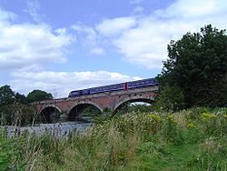
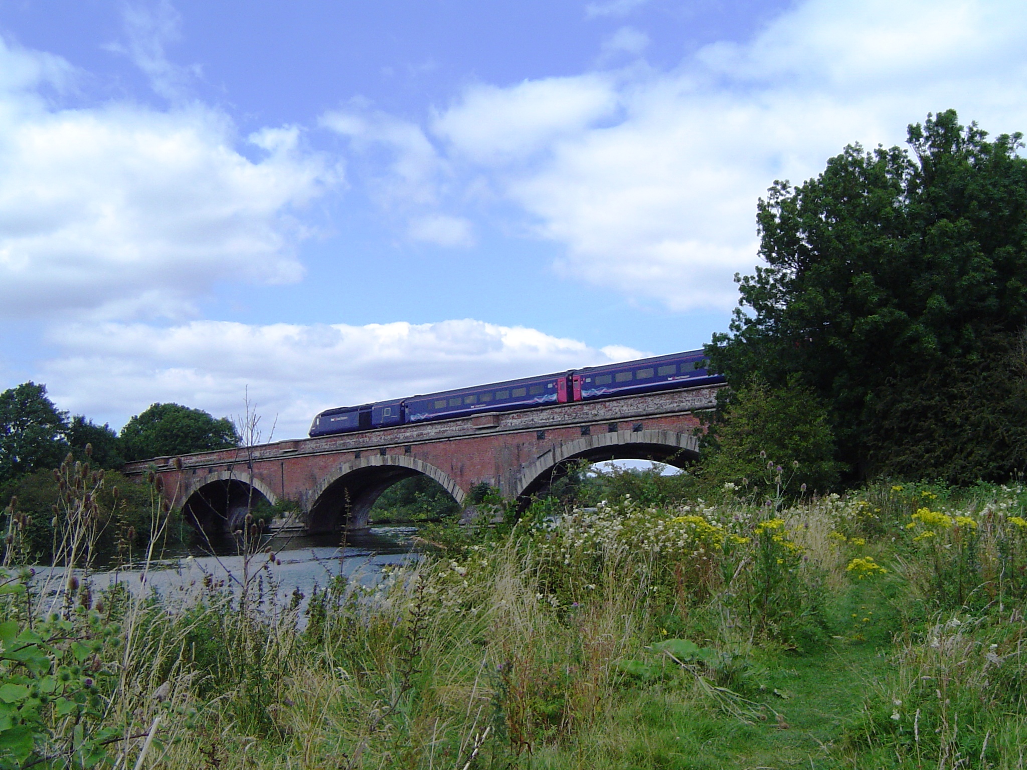
Moulsford Railway Bridge (original) from downstreamCarries Great Western Main Line Crosses River Thames Locale Moulsford Maintained by Network Rail Designer Isambard Kingdom Brunel Design Skew arch Material Brick Height 21 feet 8 inches (6.60 m)[1] Number of spans 4 Piers in water 3 Opened 1839 and 1892 Coordinates 51°33′29″N 1°08′33″W / 51.55806°N 1.1425°WCoordinates: 51°33′29″N 1°08′33″W / 51.55806°N 1.1425°W Moulsford Railway Bridge, known locally as "Four Arches" bridge[2] is actually a pair of parallel bridges located a little to the north of Moulsford and South Stoke in Oxfordshire, UK. It carries the Great Western Main Line from Paddington, London to Wales and the West across the River Thames. It lies between the stations at Goring & Streatley and Cholsey, and crosses the Thames at an oblique angle on the reach between Cleeve Lock and Benson Lock.
The original bridge was designed to carry two broad gauge tracks by Isambard Kingdom Brunel for the Great Western Railway and was built between 1838 and 1839, at the same time as Maidenhead and Gatehampton railway bridges. It is constructed from red brick with Bath stone quoins as four elliptical skew arches of 62 feet (19 m) span and a headway height of 21 feet 8 inches (6.60 m). In 1892 the line was converted to quadruple track and a second bridge was built alongside the upstream side of the original and connected to it by girders and brick bridgelets. The second bridge was built to the same profile and dimensions as the original but it lacks the stone quoins of the original and the plain uncut bricks make a jagged pattern where they meet the faces of the bridge. The second bridge is also narrower, having been built to carry a pair of standard gauge tracks.
See also
- Crossings of the River Thames
References
- ^ River Thames Alliance. Bridge heights on the River Thames.
- ^ "The Cholsey Parish Plan". Cholsey Parish Council. 2006. http://www.cholsey.org/parishplan/SGEnviron8b.pdf. Retrieved 28 December 2009.
External links
 Moulsford Railway Bridge (the later build) from the Moulsford side upstream
 The bridges from underneath with the original closest
Next crossing upstream River Thames Next crossing downstream Winterbrook Bridge (road) Moulsford Railway Bridge
Grid reference: SU595846Goring and Streatley Bridge (road) 
This United Kingdom rail transport related article is a stub. You can help Wikipedia by expanding it.