- Metropolitan Borough of Rochdale
-
Metropolitan Borough of Rochdale — Metropolitan borough — Municipal Offices, Rochdale

Coat of Arms of the Borough CouncilRochdale shown within England
Sovereign state United Kingdom Constituent country England Region North West England Ceremonial county Greater Manchester Admin HQ Rochdale (Town Hall) Founded 1 April 1974 Borough status Government - Type Metropolitan borough - Governing body Rochdale Metropolitan Borough Council - Mayor Cllr. Zulfiqar Ali - MPs: Simon Danczuk (L)
Jim Dobbin (LC)Population (2010 est.) - Total 205,200 (Ranked 78th) - Ethnicity
(United Kingdom Estimate 2006) [1]86.5% White
11.4% S.Asian or mixed
1.4% Black or mixed
0.8% Chinese or otherTime zone Greenwich Mean Time (UTC+0) Postcodes OL & M Area code(s) 0161 / 01706 ISO 3166-2 GB-RCH ONS code 00BQ OS grid reference SD897133 NUTS 3 UKD32 Website www.rochdale.gov.uk The Metropolitan Borough of Rochdale is a metropolitan borough of Greater Manchester in North West England. It is named after its largest town, Rochdale, but spans a far larger area which includes the towns of Middleton, Heywood, Littleborough and Milnrow, and the village of Wardle.
The borough was formed in 1974 as part of the provisions of the Local Government Act 1972 and is an amalgamation of six former local government districts. It was originally proposed that the borough include the neighbouring town of Bury and disclude Middleton; Bury however went on to form the administrative centre for the adjacent Metropolitan Borough of Bury.
The borough, which lies directly north-northeast of the City of Manchester, has a population of 206,500, and although most parts are highly industrialised and densely populated, contiguous with one of the United Kingdom's major cities, some of the borough consists of rural open space, for the most part due the territory in the eastern half stretching across Blackstone Edge and the Pennine hills.
Contents
History
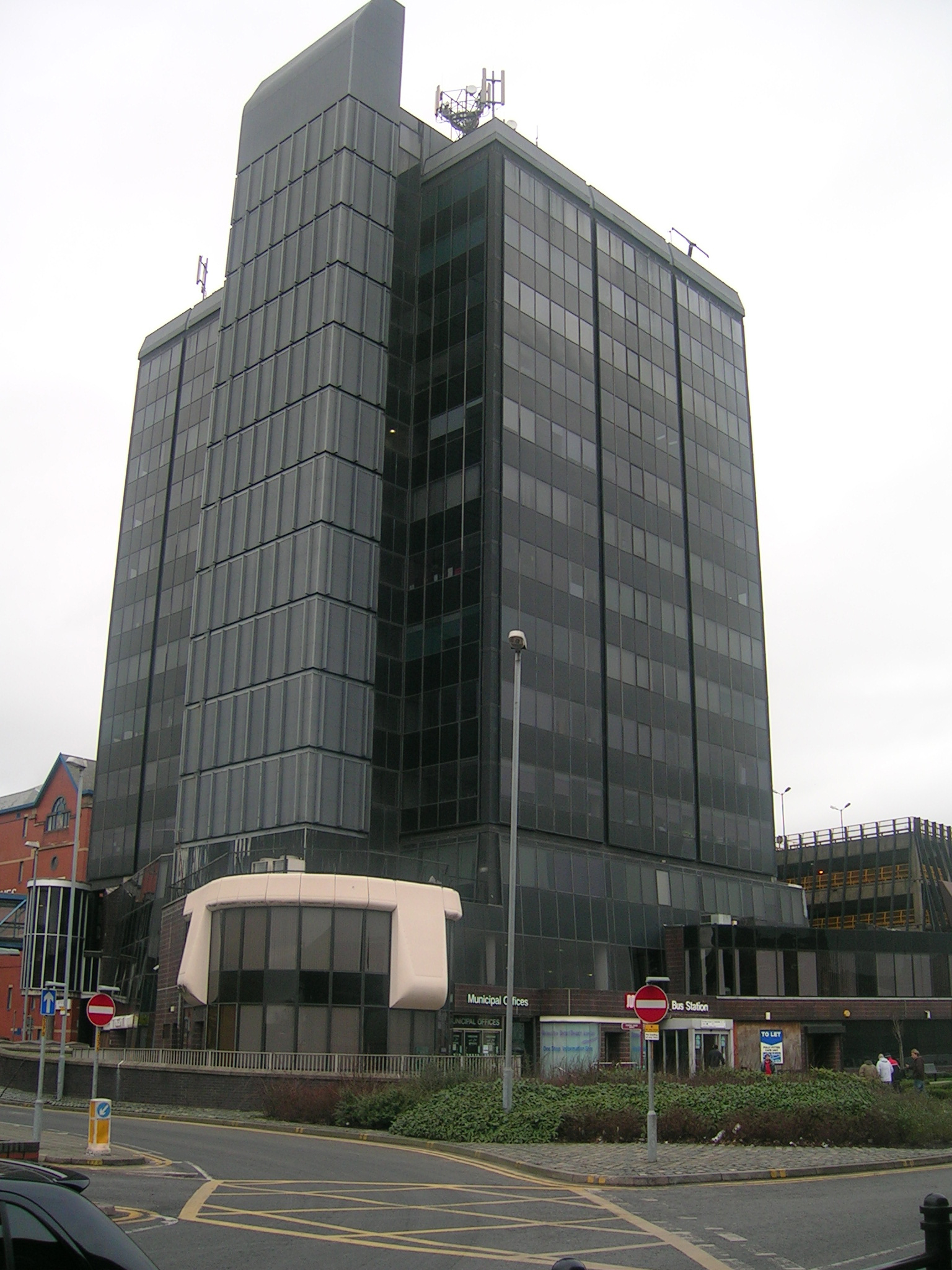
 The Municipal Offices at central Rochdale house most of the Metropolitan Borough Council.
The borough, which is the largest such borough of Greater Manchester, was formed on 1 April 1974, under the Local Government Act 1972, by a merger of the former county borough of Rochdale and, from the administrative county of Lancashire, the municipal boroughs of Heywood and Middleton, along with the urban districts of Littleborough, Milnrow and Wardle.
Prior to its creation, it was suggested that the metropolitan borough be named Chadwick (with reference to Sir Edwin Chadwick), but this was rejected in favour of Rochdale.[2]
Neighbouring districts
The Metropolitan Borough of Oldham lies to the south-east, and the Metropolitan Borough of Bury lies to the west. The City of Manchester is to the south.
Unparished areas
Showing former status (prior to 1974)
- Heywood (municipal borough)
- Littleborough (urban district)
- Middleton (municipal borough)
- Milnrow (urban district)
- Rochdale (county borough)
- Wardle (urban district)
Ethnic groups[3]
- White British - 176,800
- White Irish - 2,994
- White Other - 2,097
- Asian or Asian British: Pakistani - 15,829
- Asian or Asian British: Bangladeshi - 3,594
- Asian or Asian British: Other Asian - 956
- Black British - 1,571
- Chinese or Other - 1,200
- Mixed White and Asian - 900
- Mixed White and Black - 1,100
- Mixed Other - 400
Population change
The table below details the population change since 1801, including the percentage change since the last available census data. Although the Metropolitan Borough of Rochdale has only existed 1974, figures have been generated by combining data from the towns, villages, and civil parishes that would later be constituent parts of the borough.
Population growth in Rochdale since 1801 Year 1801 1811 1821 1831 1841 1851 1861 1871 1881 1891 1901 1911 1921 1931 1941 1951 1961 1971 1981 1991 2001 Population 28,689 36,815 46,440 57,377 69,956 80,317 102,247 124,177 146,107 151,490 165,617 181,061 181,227 181,395 177,574 173,833 188,316 204,071 206,351 204,802 205,233 % change – +28.3 +26.1 +23.6 +21.9 +14.8 +27.3 +21.4 +17.7 +3.7 +9.3 +9.3 +0.1 +0.1 −2.1 −2.1 +8.3 +8.4 +1.1 −0.8 +0.2 Source: Vision of Britain[4] Twin towns
The Metropolitan Borough of Rochdale has formal twinning arrangements with six places. Three were originally twinned with a place within the Metropolitan Borough boundaries prior to its creation in 1974.[5]
Country Place County / District / Region / State Originally twinned with Date 
France 
Tourcoing Nord-Pas de Calais County Borough of Rochdale 1956 
Germany 
Peine 
Niedersachsen Municipal Borough of Heywood 1967 Germany 
Bielefeld 
Nordrhein-Westfalen County Borough of Rochdale 1953 
Pakistan Sahiwal Punjab Metropolitan Borough of Rochdale 1988 
Ukraine 
Lviv 
Lviv Metropolitan Borough of Rochdale 1992 
Bangladesh 
Sylhet Sylhet Division Metropolitan Borough of Rochdale 2009 See also
- List of people from Rochdale
References
Notes
- ^ Lead View Table
- ^ Clark 1973, p. 101.
- ^ Lead View Table
- ^ "Rochdale District: total population". Vision of Britain. http://www.visionofbritain.org.uk/data_cube_table_page.jsp?data_theme=T_POP&data_cube=N_TPop&u_id=10076780&c_id=10001043&add=N. Retrieved on 20 December 2008.
- ^ "Town twinning". rochdale.gov.uk. http://www.rochdale.gov.uk/leisure_and_culture/tourism_and_travel/town_twinning.aspx. Retrieved 2011-08-18.
Bibliography
- Clark, David M. (1973). Greater Manchester Votes: A Guide to the New Metropolitan Authorities. Redrose
External links
- www.rochdale.gov.uk, Rochdale Council.
- www.investinrochdale.co.uk/, Rochdale Development Agency - information on the borough, its economy and regeneration.
- www.pennineland.co.uk Development Arm of Rochdale Development Agency (RDA) Uniting Private & Public Sector to support the Regeneration of Rochdale Borough.
- www.statsandmaps.co.uk Stats and Maps is the Rochdale Borough statistics and maps website. It is a shared evidence based that provides quick and easy on-line access to data, information, and intelligence about the borough of Rochdale, and aims to meet the needs of the local community, LSP partners, and the general public.
 Districts of North West England
Cheshire 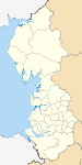
Cumbria Allerdale • Barrow-in-Furness • Carlisle • Copeland • Eden • South Lakeland
Greater Manchester Lancashire Blackburn with Darwen • Blackpool • Burnley • Chorley • Fylde • Hyndburn • Lancaster • Pendle • Preston • Ribble Valley • Rossendale • South Ribble • West Lancashire • Wyre
Merseyside Metropolitan counties and metropolitan districts Greater Manchester 
Merseyside South Yorkshire Tyne and Wear West Midlands West Yorkshire Coordinates: 53°37′00″N 2°09′24″W / 53.6166667°N 2.15667°W
Categories:- Local government in Rochdale
- Metropolitan boroughs
- Rochdale
- Local government districts of North West England


Wikimedia Foundation. 2010.