- Nowy Świat Street
-
"Nowy Świat" redirects here. For other uses, see Nowy Świat (disambiguation).
Nowy Świat Street 
Length: 1 km (1 mi) Location: Warsaw From: Nicolaus Copernicus monument To: Triple Cross Square Ulica Nowy Świat (Polish pronunciation: [uˈlit͡sa ˈnɔvɨ ˈɕfjat], New World Street) is one of the main historic thoroughfares of Warsaw.
It comprises part of the Royal Route (Trakt królewski) that runs from Warsaw's Royal Castle and Old Town, south to King Jan III Sobieski's 17th-century royal residence at Wilanów.
Contents
Geography
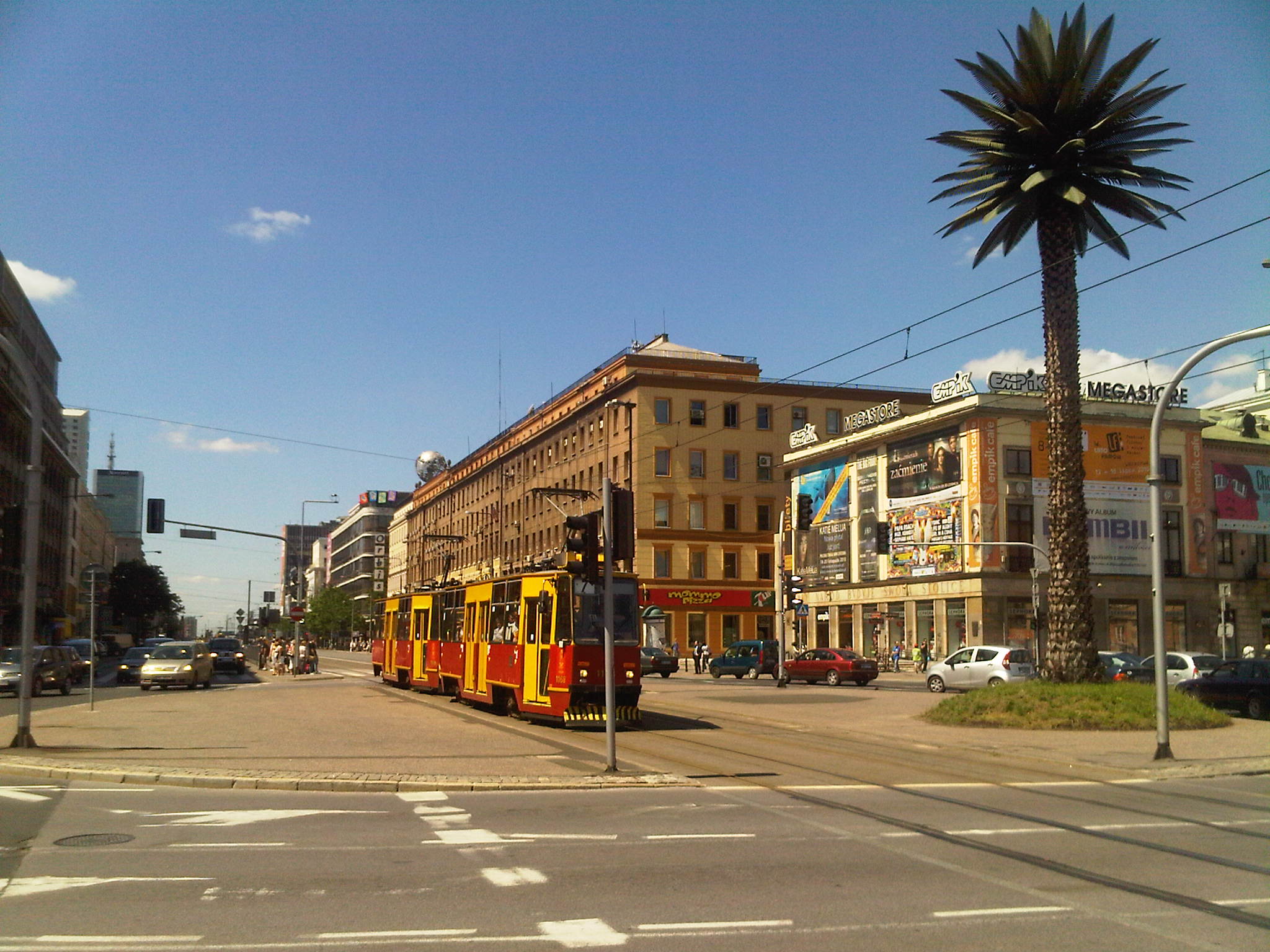
 Charles de Gaulle Roundabout
Nowy Świat runs from Plac Trzech Krzyży (Three Crosses Square) northwards, intersecting Aleje Jerozolimskie (Jerusalem Avenue) and ulica Świętokrzyska (Holy Cross Street). Near the Warsaw University campus and the Nicolaus Copernicus monument it changes into Krakowskie Przedmieście, which then runs all the way to the Royal Castle.
At its southern end, at Triple Cross Square, Nowy Świat changes into the elegant Aleje Ujazdowskie (Ujazdów Avenue), which changes into ulica Belwederska (Belweder Street), which becomes ulica Sobieskiego (Sobieski Street) as it continues coursing south, ultimately to arrive at Wilanów.
History
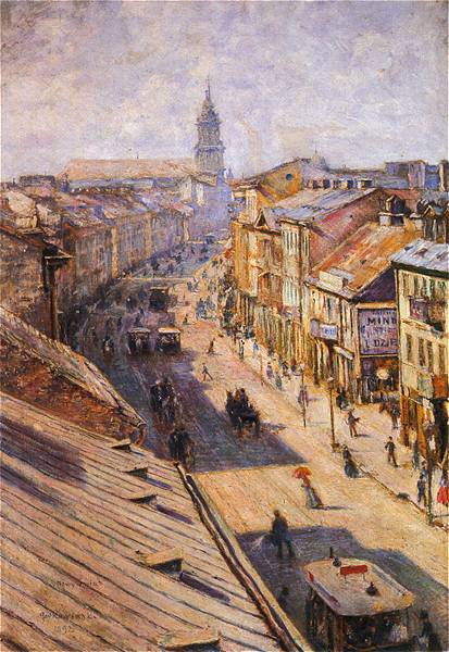
 Artist`s view, 1900
 Nowy Świat Street in Warsaw during second world war.
Until the 16th century, Nowy Świat was a main road leading to numerous szlachta palaces and villages south of Warsaw. The street's present name was coined in the 17th century, after the city had begun growing substantially (c.1640).[1][2] By the turn of the 18th century, the fields along Nowy Świat had become densely urbanized, mostly with wooden palaces and manors.[1] Gutters had been constructed, and the street itself was paved with cobblestones.
In the Napoleonic period, Warsaw grew substantially and Nowy Świat was almost completely rebuilt. Wooden manors gave way to stone and brick, mostly three-story, neoclassical buildings. By the end of the 19th century, the buildings had been expanded and Nowy Świat had become one of the principal business streets of Warsaw.[2] It was also one of the more heavily trafficked streets, with numerous shops and restaurants that attracted Varsovians as well as tourists. Larger new buildings replaced the earlier ones, and the character of the street changed. In the early 20th century, almost all trace of neoclassical architecture was lost as new buildings were erected mostly in art nouveau style.
During the Warsaw Uprising (August-October 1944), Nowy Świat was almost completely destroyed.[1] Barely any buildings survived. At war's end, it was decided to rebuild Nowy Świat. As restoring its prewar art nouveau state would have been prohibitive, it was reverted to its early-19th-century appearance.
Now, through the New World Street are locates some restaurants, coffee shops and other institutes.
Notes
-
- In-line:
- ^ a b c (Polish) "Trakt Królewski". www.warsawtour.pl. http://www.warsawtour.pl/index.php?id=56&pid=1593121032. Retrieved 2008-09-19.
- ^ a b (Polish) "Nowy Świat". http://spacery-po-warszawie.w.interia.pl/ns.html. Retrieved 2008-09-19.
External links
 Media related to Nowy Świat Street in Warsaw at Wikimedia CommonsCategories:
- Streets in Warsaw
- Shopping districts and streets
-


Wikimedia Foundation. 2010.