- Altadore, Calgary
Infobox Settlement
official_name = Altadore
other_name =
settlement_type = Neighbourhood
imagesize =
image_caption =
city_logo =
citylogo_size =
mapsize =
map_caption =
image_dot_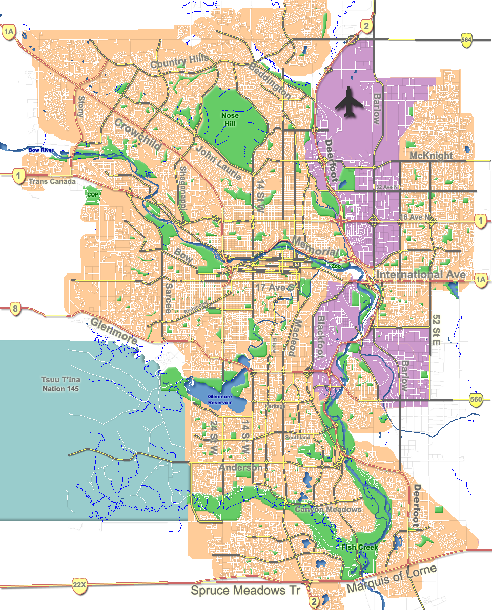
dot_mapsize = 250px
dot_map_caption = Location of Altadore inCalgary
dot_x = 115|dot_y = 162
subdivision_type = Country
subdivision_name = CAN
subdivision_type1 = Province
subdivision_name1 = AB
subdivision_type2 = City
subdivision_name2 = flag|Calgary
subdivision_type3 = Quadrant
subdivision_name3 = SW
subdivision_type4 = Ward
subdivision_name4 = 11
government_footnotes =
government_type =
leader_title = Administrative body
leader_name =Calgary City Council
leader_title1 = Alderman
leader_name1 =Brian Pincott
leader_title2 =
leader_name2 =
established_title = Established
established_date = 1945
established_title2 =
established_date2 =
area_magnitude =
area_footnotes =
area_total_km2 =
population_as_of = 2006
population_footnotes =
population_total = 8175
population_density_km2 =
population_blank1_title = Average Income
population_blank1 = $53786
timezone =
utc_offset =
latd= 51|latm= 01|lats= 05|latNS= N|longd= 114|longm= 06|longs= 02|longEW= W
elevation_footnotes =
elevation_m = 1095
postal_code_type = Postal code
postal_code = T3E
area_code =
blank_name =
blank_info =
blank1_name =
blank1_info =
website = [http://www.calgarycommunities.com/communities/southcalgary.php Altadore Community Association]
footnotes = Altadore is a residential neighbourhood in the south-west quadrant ofCalgary ,Alberta . It is located between 14th Street andCrowchild Trail , south of the community of South Calgary. It is bordered by theElbow River and the "River Park" to the south-east.The Marda Loop [Cite web|url= http://mardaloopbrz.com/ | title= Marda Loop Business Revitalization Zone | accessdate= 2007-05-09]
Business Revitalization Zone is located in the community, along 33rd and 34th Avenues SW.Altadore was established in 1945. It is represented in the
Calgary City Council by Ward 11Alderman Brian Pincott . The community has anarea redevelopment plan in place.Cite web| url= http://www.calgary.ca/docgallery/bu/planning/pdf/south_calgary_altadore_arp.pdf | title=Altadore Area Redevelopment Plan| author=City of Calgary Planning| year=2005| accessdate= 2007-05-11]Demographics
In 2006 the neighbourhood had a population of 8,175.Cite web| url=http://www.calgary.ca/DocGallery/BU/cityclerks/popcomparisonbycomm.pdf | author= City of Calgary | title= Community Population Comparison | year=2006 | accessdate= 2007-05-09] Residents in this community had a
median household income of $53,786 in 2000, and there were 13.6% low income residents living in the neighborhood.Cite web| url= http://www.calgary.ca/docgallery/bu/cns/community_social_statistics/ward_11_profile.pdf | title=Ward 11 Profile| author=City of Calgary| year=2004| accessdate= 2007-05-09] As of 2000, 11.9% of the residents wereimmigrant s. A proportion of 37.2% of the buildings werecondominium s orapartment s, and 41.2% of the housing was used forrenting .Cite web| url= http://www.calgary.ca/docgallery/bu/cns/community_social_statistics/altadore.pdf| title= Altadore Community Statistics| author= City of Calgary | year= 2006 | accessdate= 2007-05-09]Education
The community is served by King Edward Elementary and Junior High and Altadore Elementary
public school s, as well as by Calgary Waldorf School, Glenmore Christian Academy and Lycee Louis Pasteur (private schools).ee also
*
List of neighbourhoods in Calgary References
External links
* [http://www.calgarycommunities.com/communities/southcalgary.php Altadore Community Association]
Canadian City Geographic Location (8-way)
Northwest =

Wikimedia Foundation. 2010.