Lake George Wild Forest — The Lake George Wild Forest is a convert|71133|acre|km2|sing=on tract designated as Wild Forest by the New York State Department of Environmental Conservation in the southeastern Adirondacks in the towns of Bolton, Chester, Hague, Horicon, Lake… … Wikipedia
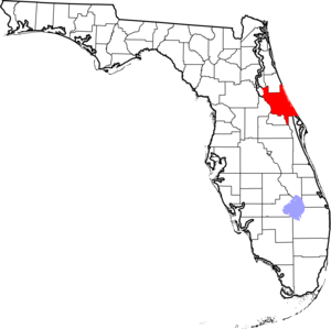
Lake George (Florida) — Infobox lake lake name = Lake George image lake = caption lake = image bathymetry = caption bathymetry = location = Florida coords = coord|29|17|12|N|81|35|53|W|region:US FL type:waterbody|display=inline,title type = inflow = Salt Creek, Silver… … Wikipedia
Tiger Bay State Forest — Tiger Bay State Forest … Wikipedia
Okaloacoochee Slough State Forest — Location Collier and Hendry counties, Florida Nearest city Felda A … Wikipedia
Cloquet Valley State Forest — Geography Location St. Louis County, Minnesota, United States Area 327,098 acres (1,323.72 km2; 511 … Wikipedia
Crow Wing State Forest — Geography Location Crow Wing County, Minnesota, United States Area 31,307 acres (126.69 km2; 48.917 … Wikipedia
Mississippi Headwaters State Forest — Geography Location Beltrami, Clearwater, and Hubbard counties, Minnesota, United States Elevation … Wikipedia
Northwest Angle State Forest — Geography Location Lake of the Woods County, Minnesota, United States Elevation 1,083 feet (330 m) … Wikipedia
Conway-Robinson State Forest — Coordinates: 38°48′12.6″N 77°35′16.7″W / 38.8035°N 77.587972°W / 38.8035; 77.587972 Conway Robinson State Forest is a … Wikipedia
Coopers Rock State Forest — Coordinates: 39°39′20″N 79°47′16″W / 39.65556°N 79.78778°W / 39.65556; 79.78778 … Wikipedia