- Florida State Road 526
-
State Road 526
Route information Maintained by FDOT Length: 12 mi (19.31 km) Major junctions West end:  SR 50 in Ocoee
 US 17 in Orlando

 I-4 / SR 400 in Orlando
East end: 
 SR 15 / SR 408 in Orlando
Location Counties: Orange Highway system Florida State and County Roads
Interstate • US • SR (Pre-1945) • Toll • County←  SR 524
SR 527  →
→
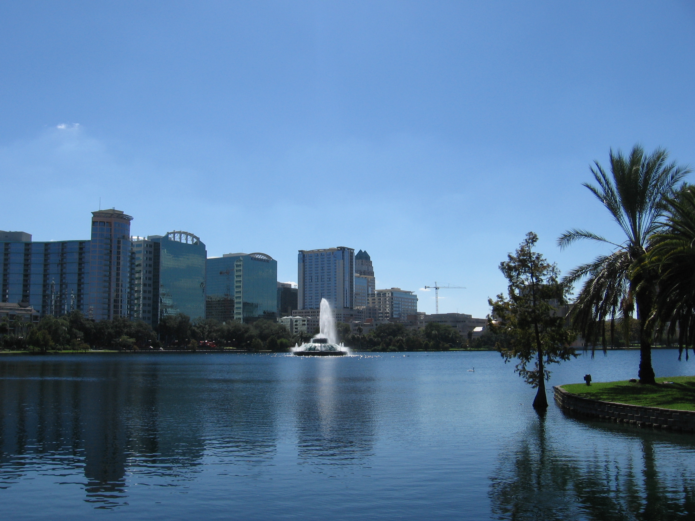
State Road 526 is a 12-mile (19 km) east–west route in the Orlando MSA, located entirely in Orange County. It runs from State Road 50 in Ocoee, to State Road 15, the frontage roads of State Road 408, in Orlando. After the western terminus of SR 526, State Road 50, it becomes SR 439. Between US 17 and the western terminus, it is known as Orange County Road 526, and locally known as Old Winter Garden Road. It crosses State Road 408 twice. At the overpass of Interstate 4, State Road 526 runs north–south for 1 block. It then heads into Downtown Orlando via Robinson Street and follows the northern shore of Lake Eola. SR 526 next intersects State Road 15. At the Orlando Executive Airport, it heads north–south and then ends at State Road 15, the frontage roads of State Road 408.
Major Junctions
The entire route is located in Orange County.
Location Milepost Destination Notes Ocoee SR 50Western terminus Orlo Vista  SR 435
Orlando  SR 423 (John Young Parkway) US 17 I-4 / SR 400 – Tampa, Daytona Beach
To Downtown Orlando SR 527To Downtown Orlando SR 15 SR 15 / SR 408 (East-West Expressway)Eastern terminus Categories:- State highways in Florida
- State Roads in Orange County, Florida
- State Roads in Orlando, Florida

Wikimedia Foundation. 2010.