- Tuncurry, New South Wales
Infobox Australian Place
type = town
name = Tuncurry
state = nsw
imagesize = 270
caption =
pop = 18,372
pop_footnotes = (Forster-Tuncurry)Census 2006 AUS | id = UCL130800 | name =2006 Census QuickStats : Forster-Tuncurry (Urban Centre/Locality)| quick = on |accessdate=2007-12-29]
poprank =
density =
density_footnotes =
est =
postcode = 2428
coordinates = coord|32|10|28|S|152|30|21|E|type:town_region:AU-NSW|display=inline,title
elevation = 6
elevation_footnotes=
area =
area_footnotes =
timezone = AEST
utc = +10
timezone-dst = AEDT
utc-dst = +11
propval = $330,000
dist1 = 308
dir1 = NNE
location1 = Sydney
dist2 = 166
dir2 = NNE
location2 = Newcastle
lga = Great Lakes Council
region = Mid North Coast
county =
stategov = Myall Lakes
fedgov = Paterson
near-n =
near-ne =Tasman Sea
near-e =Tasman Sea
near-se = Forster
near-s = Forster
near-sw =
near-w =
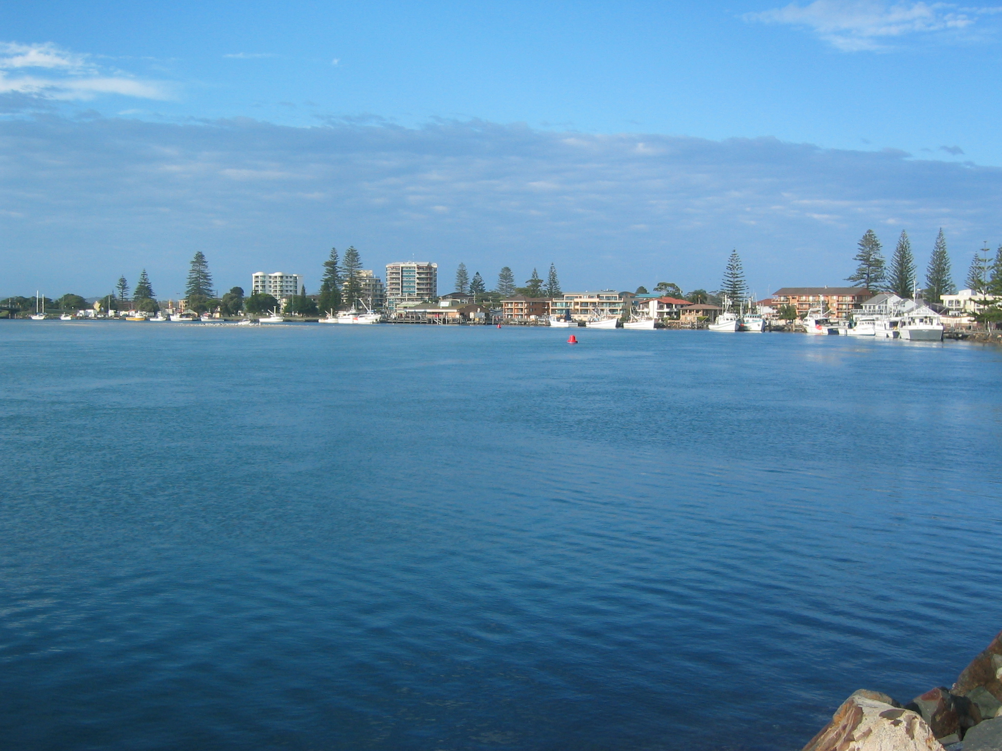
near-nw =Tuncurry is a coastal town in the Mid North Coast region of
New South Wales ,Australia , in theGreat Lakes Council LGA, about convert|308|km|mi|0|lk=on|abbr=on north north east ofSydney . It is immediately adjacent to its twin city of Forster, which is the larger of the two towns.At the 2006 census, The Forster-Tuncurry area had a population of 18,372 people. This number grows considerably in the tourist season. The population of Tuncurry alone is 5,717.
The first land grant in this area was in 1875. The settlement was originally called North Shore and then North Forster and was renamed Tuncurry meaning “plenty of fish” [ [http://www.greatlakes.org.au/pages/heritage-culture/] | History of Tuncurry] in 1891 and then proclaimed a village in 1893.
The area was well known in the early days for its timber cutting and sawmills. Timber was collected from the lakes and rivers by the logpunts.
A bridge was built linking Forster and Tuncurry in 1959 replacing the punt service that had operated since 1890.
Tourism
Because of its close driving proximity to Sydney, Forster-Tuncurry has established itself as a popular summer holiday destination, where in the hotter months, the population swells considerably.
The school holidays in the colder months also bring considerable amounts of holidaymakers.
The region's local cinema, Great Lakes Cinema 3, is based on the Tuncurry side of the bridge.
References
Wikimedia Foundation. 2010.