- Oosterbeek
-
Oosterbeek Coordinates: 51°59′5″N 5°50′40″E / 51.98472°N 5.84444°E Country Netherlands Province Gelderland Municipality Renkum Population (1 januari 2008) 11.138UNIQ757e7b3,668be83eb-ref-00,000,000-QINU  Location of municipality Renkum in the Netherlands
Oosterbeek is a village in the Dutch province of Gelderland. It is located in the municipality of Renkum, about 5 km west of Arnhem.
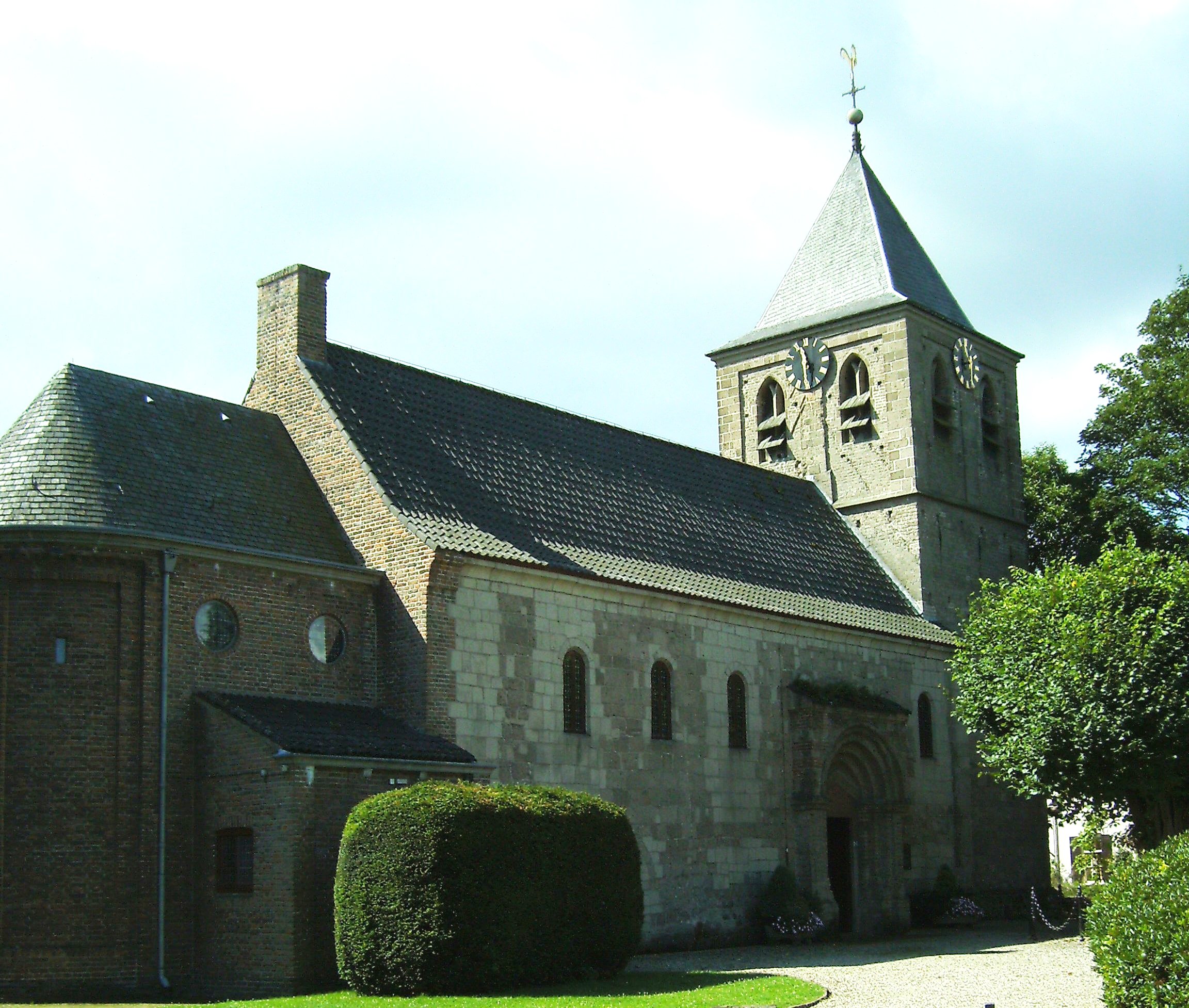
The oldest part of the village of Oosterbeek is the Benedendorp (Lower Village), on the northern bank of the river Rhine.[2] Parts of the church now known as the Hervormde Kerk (Reformed Church) date back to the second half of the 10th century.
In the 19th century several mansions were built on the higher ground to the north of the old village, such as De Hemelse Berg (destroyed in 1944) and Hartenstein. The construction of smaller buildings in the same area eventually led to the Bovendorp (Upper Village).
Today, Oosterbeek is probably best known for being involved in and heavily damaged during the September 1944 Battle of Arnhem. General Urquhart had his headquarters in the aforementioned Hartenstein, which is now home to the Airborne Museum. To the north of the built-up area lies the Arnhem Oosterbeek War Cemetery.
In Oosterbeek is also located the Hotel de Bilderberg where the controversial Bilderberg Group first met in 1954.The hotel gave its name both to the Group and those who participate in its activities (Bilderbergers).
Oosterbeek was a separate municipality until 1818, when the area was divided between Doorwerth and Renkum.[3]
Contents
Transportation
- Railway station: Oosterbeek
Well-known people
- Albertino Essers (1969) - darts player
- Esmée Denters (1988) - singer
Photos
-
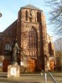
The Roman Catholic St. Bernulphus Church (1884)
-
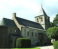
The Reformed Church
-

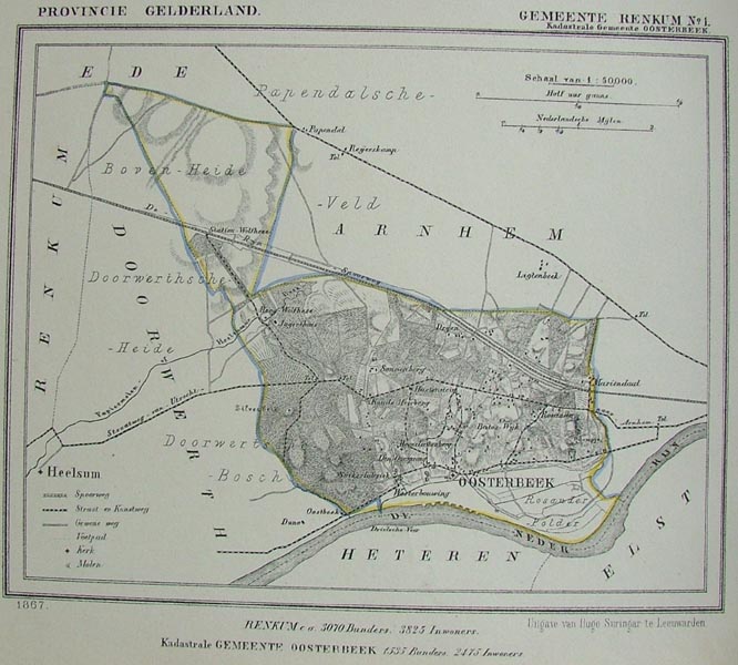
A map of Oosterbeek (1867)
-

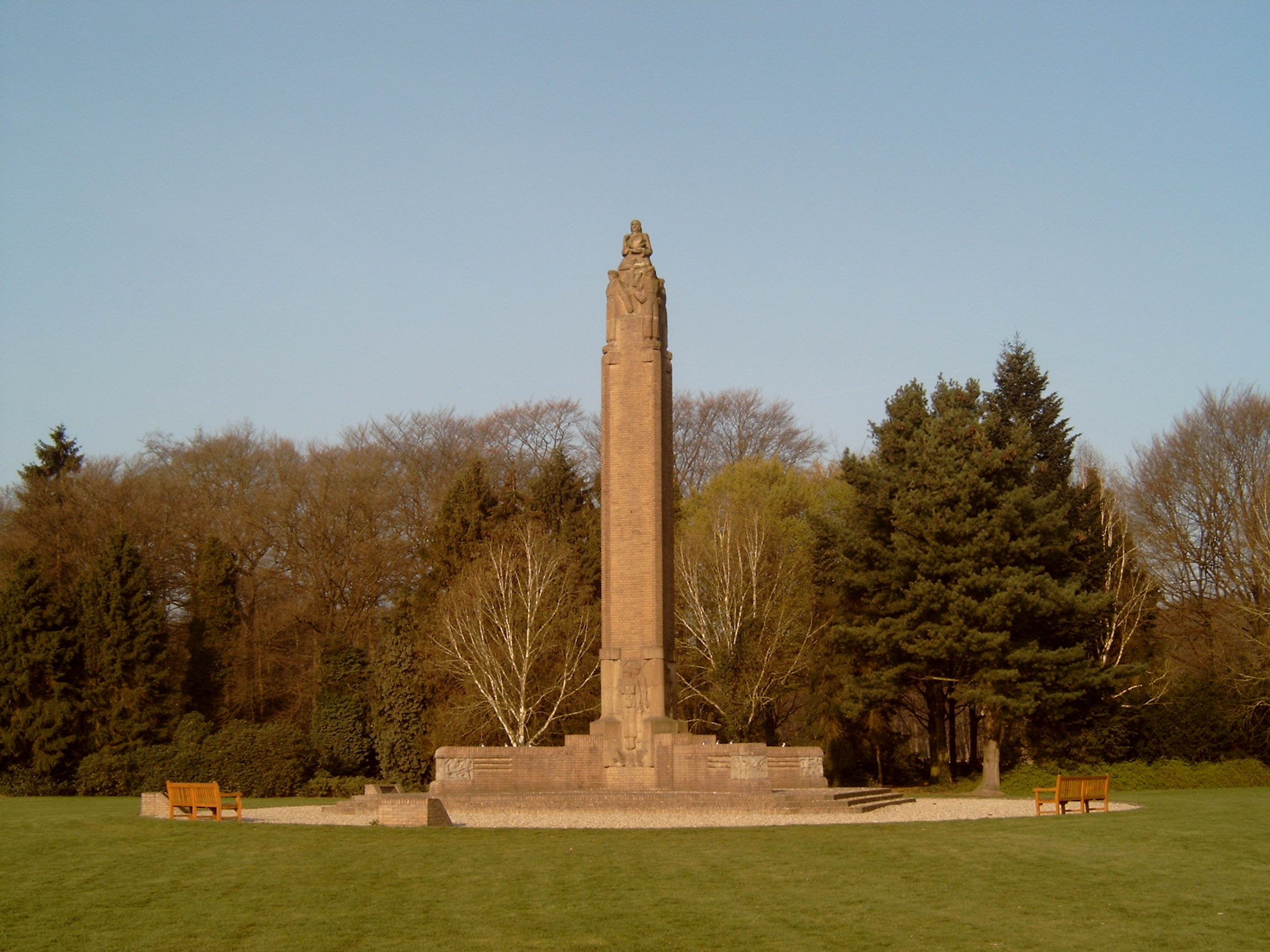
War Monument
-

The Hartenstein Airborne Museum
References
- ^ Cijfers Gemeente Renkum
- ^ Stenvert, R. et al. (2000). Monumenten in Nederland: Gelderland, p. 268–271. Zwolle: Waanders Uitgevers. ISBN 90-400-9406-3
- ^ Ad van der Meer and Onno Boonstra, Repertorium van Nederlandse gemeenten, KNAW, 2006.
External links
Coordinates: 51°59′N 5°51′E / 51.983°N 5.85°E
Categories:- Populated places in Gelderland
- Former municipalities of Gelderland
- Gelderland geography stubs


Wikimedia Foundation. 2010.