- Marlborough Road tube station
-
Marlborough Road 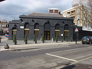
Location Place St. John's Wood History Opened by Metropolitan Railway Platforms 2 Key dates Opened 1868
Closed 1939Replaced by St. John's Wood Marlborough Road is a disused London Underground station. It was opened in 1868 on the Metropolitan & St. John's Wood Railway, the first northward branch extension from Baker Street of the Metropolitan Railway (now the Metropolitan Line). On contemporary maps the station name is shortened to Marlboro Road.
In the mid 1930s the Metropolitan line was suffering congestion at the south end of its main route where trains from its many branches were struggling to share the limited capacity of its tracks between Finchley Road and Baker Street stations. To ease this congestion a new section of deep-level tunnel was constructed between Finchley Road and the Bakerloo line tunnels at Baker Street station. The Metropolitan line's Stanmore branch services were then transferred to the Bakerloo (now Jubilee) line on 20 November 1939 and diverted to run into Baker Street in the new tunnels, thus reducing the number of trains using the Metropolitan lines tracks.
Metropolitan Line stations between Finchley Road and Baker Street were closed and a new St. John's Wood station was opened nearby on what is now the Jubilee line.
Even before the closure it had been a little-used station apart from some peak days during cricket season due to its proximity to Lord's tube station.
The street that Marlborough Road station was named after has been renamed Marlborough Place.
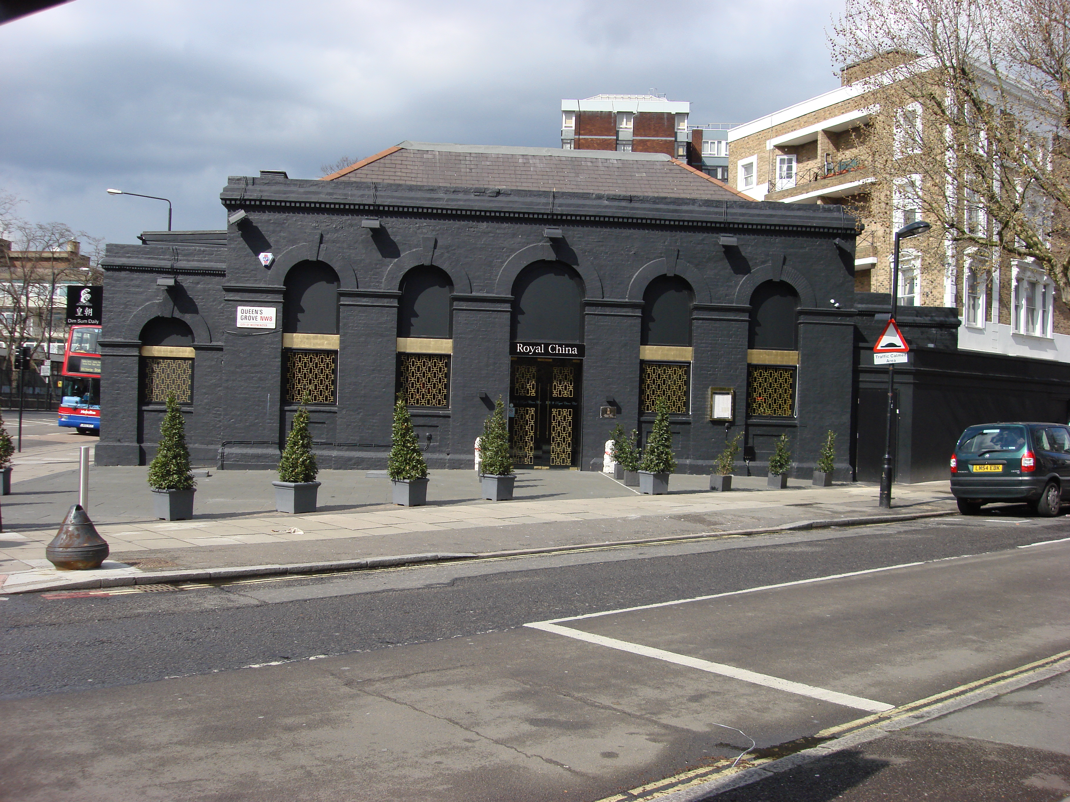
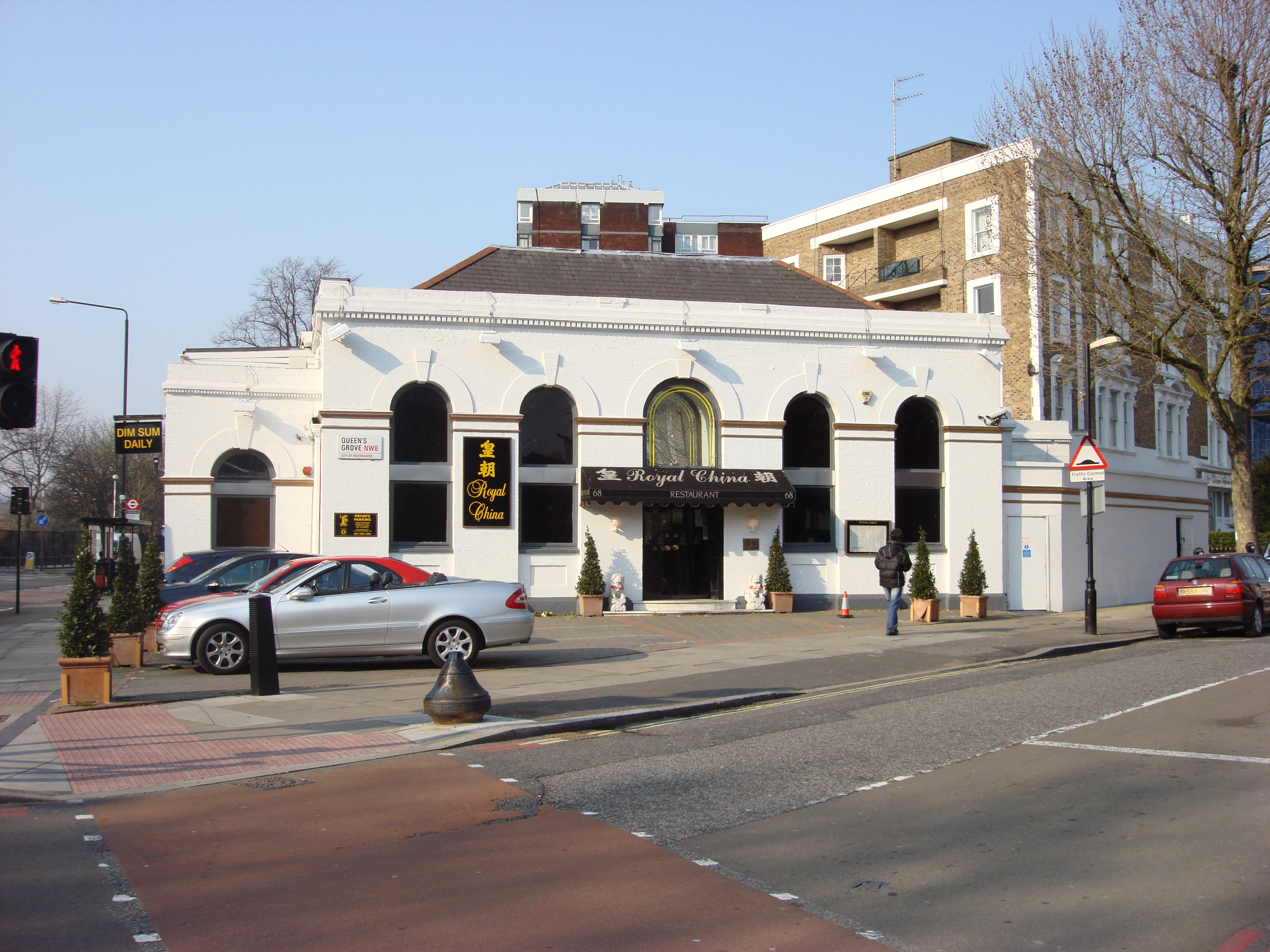
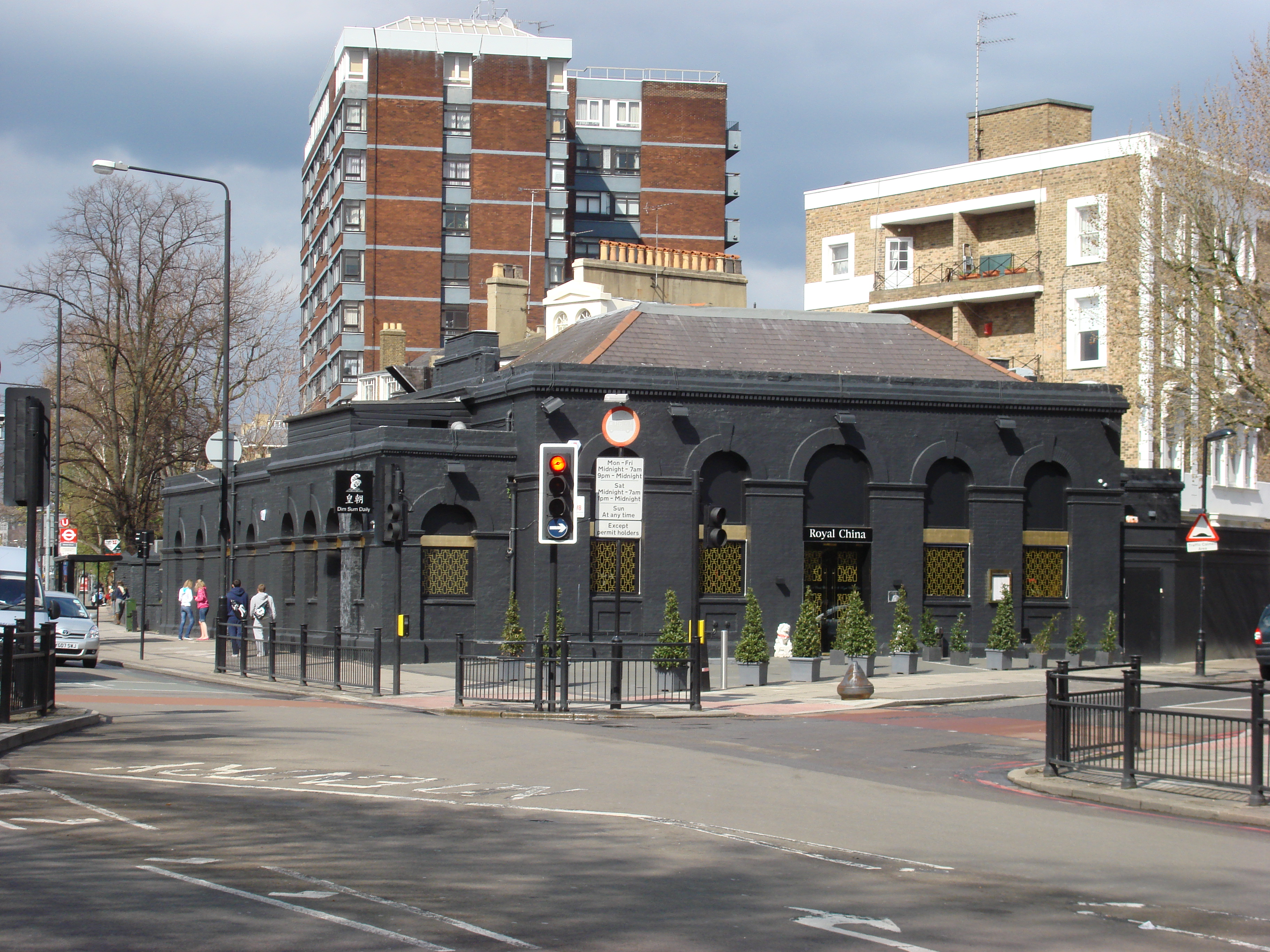
The remains of the platforms and an outside shot of the station building and booking hall (an Aberdeen Angus Steak House) were included in a scene from Metro-land, a 1973 BBC documentary presented by Sir John Betjeman. The building contained a Chinese Restaurant up to January 2009 but has now been vacated. It is planned to utilise the building as a new Substation as part of the Power Upgrade Programme for the Metropolitan Line to support the introduction of the new Rolling Stock Fleet.
-

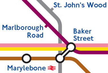
How Marlborough Road might have appeared on the London Underground Map today if it had remained open
-

Station in its previous white colour
-

Marlborough Road
-

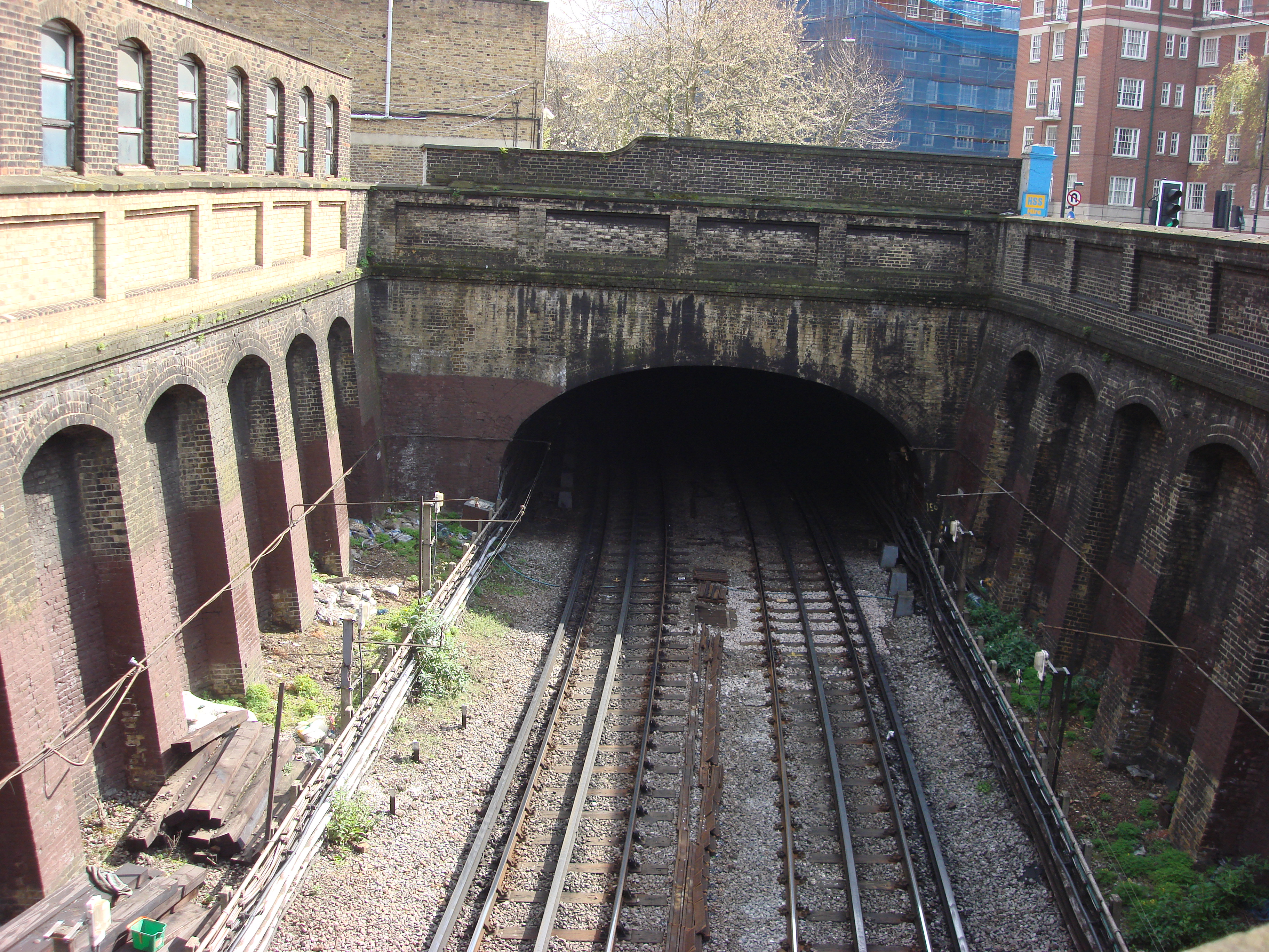
Location of former platforms
-

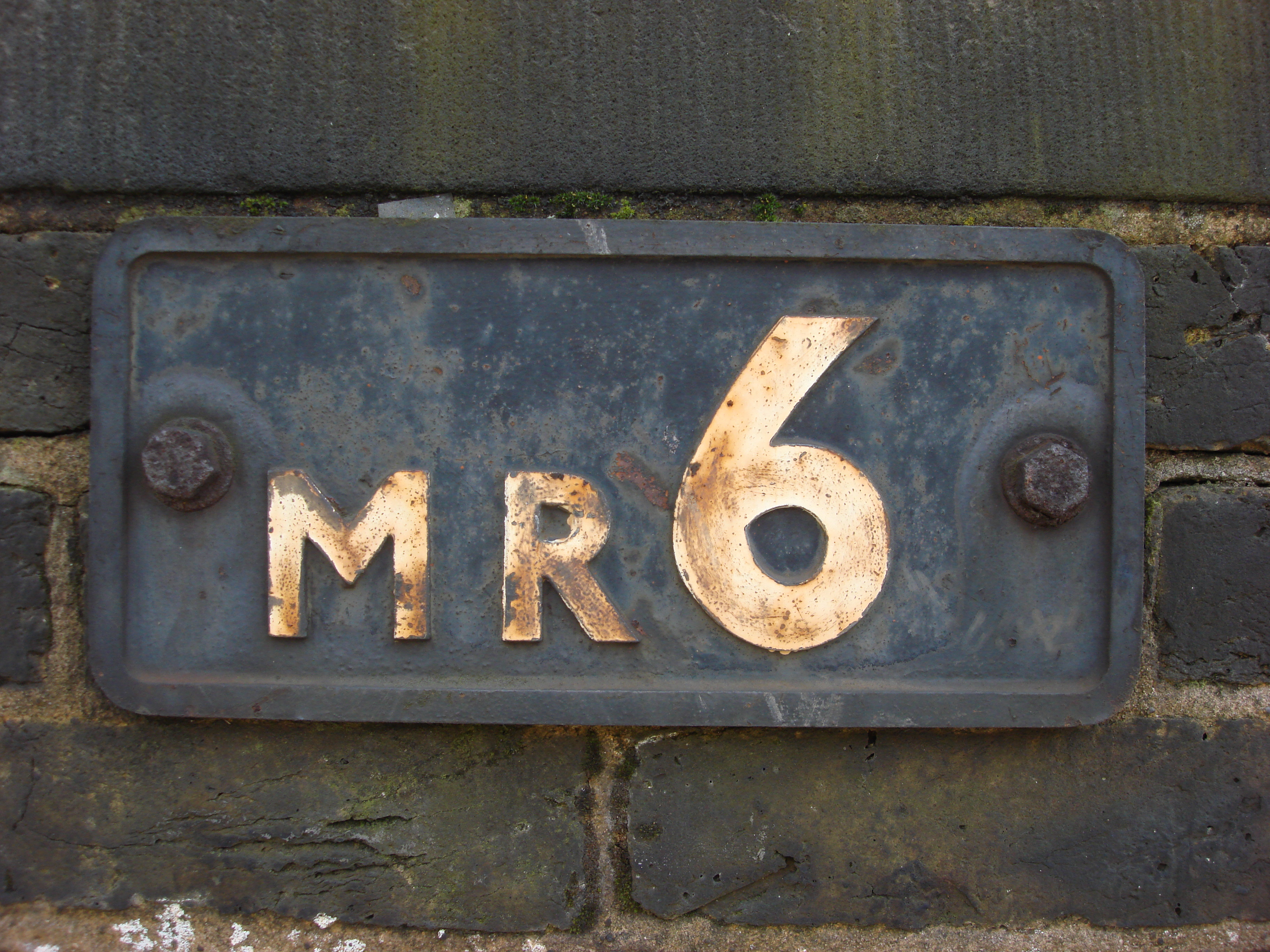
Bridge plate from Marlborough Road
See also
Other Metropolitan Line stations closed with the opening of the deep tunnel section:
External links
Preceding station  London Underground
Following station Metropolitan line towards Baker Street or AldgateMetropolitan line Stations Central London sectionAldgate · Barbican · Euston Square · Farringdon · Great Portland Street · King's Cross St. Pancras · Liverpool Street · Moorgate Core sectionUxbridge branchOuter section & branchesAmersham · Chalfont & Latimer · Chesham · Chorleywood · Croxley · Moor Park · North Harrow · Northwood · Northwood Hills · Pinner · Rickmansworth · Watford
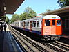

Click to enlargeRolling stock Present rolling stockHistory Former companiesClosed stationsBrill · Granborough Road · Lord's · Marlborough Road · Quainton Road · Swiss Cottage · Uxbridge Road · Verney Junction · Waddesdon · Waddesdon Road · Westcott · Winslow Road · Wood Siding · WottonFormer stationsAylesbury · Dollis Hill  · Great Missenden · Kensington (Olympia) · Kilburn · Neasden · Stoke Mandeville · Wendover · West Hampstead · Willesden Green Transferred linesFormer rolling stockFormer locomotivesA Class · B Class · C Class · D Class · E Class · F Class · G Class · H Class · K Class · Met Electric Camelback · MetVick Electric BoBo · Metropolitan departmental · ex GWR · Metropolitan Railway Peckett Saddle Tank · Wotton TramwayMetro-Land
Future proposals Croxley Rail linkCroxley Rail Link · Ascot Road · Croxley · Croxley Green · Watford High Street · Watford Junction · Watford Stadium · Watford WestFuture rolling stockS Stock (Currently being rolled out)OtherWest Hampstead interchangeLondon Underground · Transport for London
Categories:- Metropolitan Line stations
- Disused London Underground stations
- Disused railway stations in Westminster
- Former Metropolitan Railway stations
- Railway stations opened in 1868
- Railway stations closed in 1939
-


Wikimedia Foundation. 2010.