- Athos Range
-
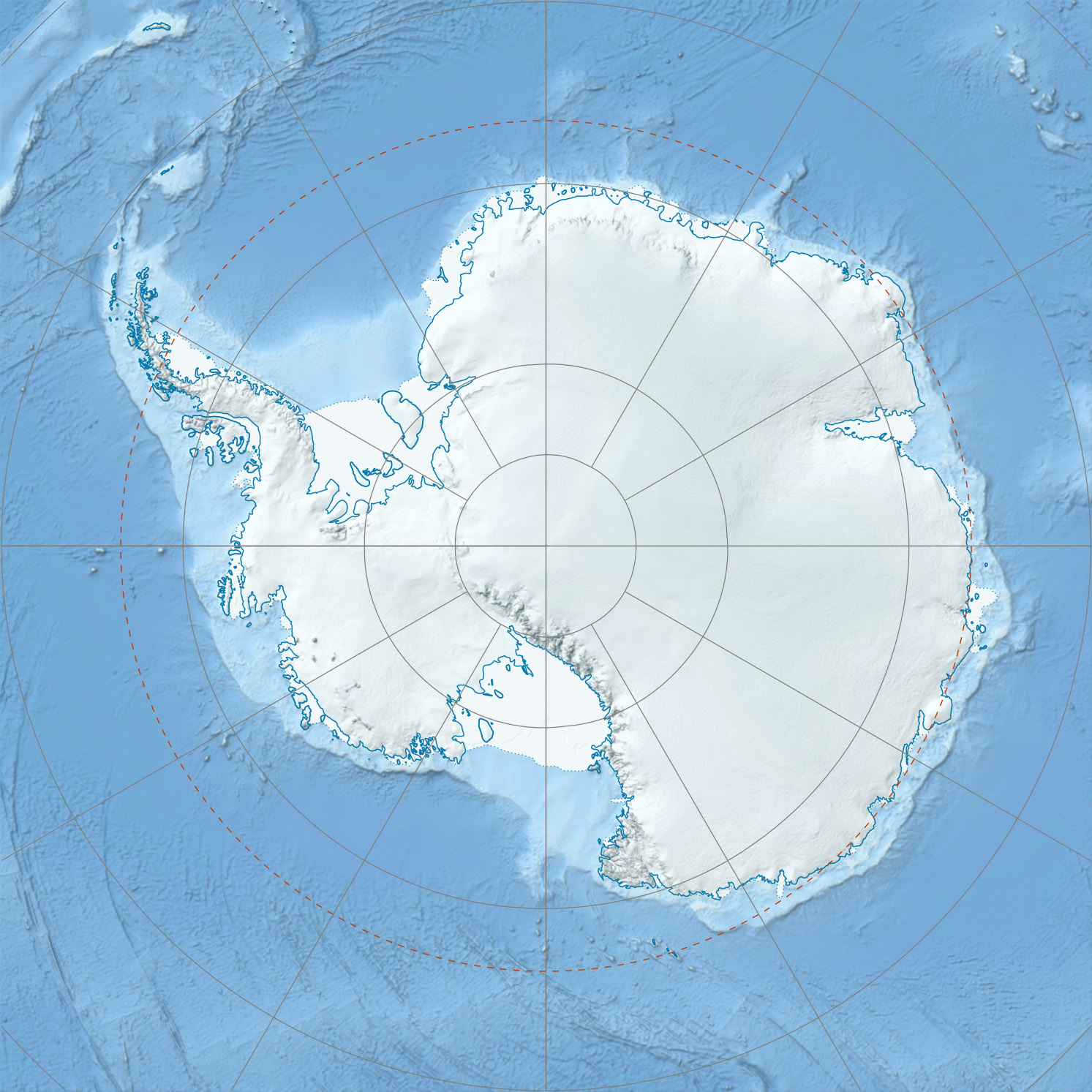
 Athos RangeAthos Range in eastern Antarctica
Athos Range (70°13′S 64°50′E / 70.217°S 64.833°E) is the northernmost range in the Prince Charles Mountains of Mac. Robertson Land, Antarctica. The range consists of a large number of individual mountains and nunataks that trend east-west for 40 miles (60 km) along the north side of Scylla Glacier.[1]
These mountains were first observed from aircraft of U.S. Navy Operation Highjump, 1946-47. The western part of the range was first visited by an ANARE Australian National Antarctic Research Expeditions (ANARE) party led by J. Bechervaise in November 1955. The range was again visited in December 1956 by the ANARE southern party, 1956-57, led by W.G. Bewsher, and a depot was established at the eastern extremity. It was named after a character in The Three Musketeers, a novel by Alexandre Dumas, père which was the most popular book read on the southern journey.[1]
List of mountains
- Mount Albion (70°17′S 65°39′E / 70.283°S 65.65°E) is a mountain 2 miles (3.2 km) south-southeast of Mount O'Shea in the south part of the Athos Range. Discovered by an ANARE southern party led by W.G. Bewsher (1956-57) and named for Patrick Albion, radio operator at Mawson Station in 1956.[2]
- Farley Massif (70°13′S 65°48′E / 70.217°S 65.8°E) is a mountain 1 mi north of Mount Jacklyn. Plotted from ANARE air photos and named for J.A. Farley, surveyor at Mawson Station in 1964.[3]
- Giddings Peak (70°12′S 64°44′E / 70.2°S 64.733°E) is a small peak just west of Mount Bechervaise. Plotted from ANARE air photos of 1965 and named by ANCA after A. Giddings, cook at Wilkes Station in 1959.[4]
- Mount Jacklyn (70°15′S 65°53′E / 70.25°S 65.883°E) is a conical peak surmounting a horseshoe-shaped ridge 1 mile (1.6 km) south of Farley Massif, in the eastern part of the Athos Range. First visited by an ANARE southern party led by W.G. Bewsher (1956-57) and named for Robert Jacklyn, cosmic ray physicist at Mawson Station in 1956.[5]
- Mount O'Shea (70°15′S 65°35′E / 70.25°S 65.583°E) is a mountain 2 mi NNW of Mount Albion. Plotted from ANARE air photos and named for A.J. O'Shea, assistant diesel mechanic at Mawson Station in 1964.[6]
- Mount Shennan (70°14′S 65°33′E / 70.233°S 65.55°E) is a mountain 4 miles (6 km) west of Farley Massif. Plotted from ANARE air photos and named for K.J. Shennan, assistant diesel mechanic at Mawson Station in 1963.[7]
- Mount Starlight (70°12′S 64°30′E / 70.2°S 64.5°E) is an extensive ridge of exposed brown rock with steep sides but no sharp peaks, standing at the western end of the Athos Range. Sighted in November 1955 by an ANARE party led by J.M. Bechervaise. Named to commemorate the so-called Operation Starlight during which depots were laid for further work and mapping and geological investigations accomplished.[8]
References
- ^ a b "Athos Range". Geographic Names Information System, U.S. Geological Survey. http://geonames.usgs.gov/pls/gnispublic/f?p=gnispq:5:::NO::P5_ANTAR_ID:692. Retrieved 2007-03-12.
- ^ "Mount Albion". Geographic Names Information System, U.S. Geological Survey. http://geonames.usgs.gov/pls/gnispublic/f?p=gnispq:5:::NO::P5_ANTAR_ID:200. Retrieved 2008-03-23.
- ^ "Farley Massif". Geographic Names Information System, U.S. Geological Survey. http://geonames.usgs.gov/pls/gnispublic/f?p=gnispq:5:::NO::P5_ANTAR_ID:4776. Retrieved 2010-06-05.
- ^ "Giddings Peak". Geographic Names Information System, U.S. Geological Survey. http://geonames.usgs.gov/pls/gnispublic/f?p=gnispq:5:::NO::P5_ANTAR_ID:5662. Retrieved 2009-02-18.
- ^ "Mount Jacklyn". Geographic Names Information System, U.S. Geological Survey. http://geonames.usgs.gov/pls/gnispublic/f?p=gnispq:5:::NO::P5_ANTAR_ID:7427. Retrieved 2008-03-21.
- ^ "Mount O'Shea". Geographic Names Information System, U.S. Geological Survey. http://geonames.usgs.gov/pls/gnispublic/f?p=gnispq:5:::NO::P5_ANTAR_ID:11183. Retrieved 2010-06-05.
- ^ "Mount Shennan". Geographic Names Information System, U.S. Geological Survey. http://geonames.usgs.gov/pls/gnispublic/f?p=gnispq:5:::NO::P5_ANTAR_ID:13707. Retrieved 2008-02-01.
- ^ "Mount Starlight". Geographic Names Information System, U.S. Geological Survey. http://geonames.usgs.gov/pls/gnispublic/f?p=gnispq:5:::NO::P5_ANTAR_ID:14491. Retrieved 2010-10-17.
 This article incorporates public domain material from websites or documents of the United States Geological Survey.Categories:
- Mountain ranges of Mac. Robertson Land
Wikimedia Foundation. 2010.