- Burnet County, Texas
-
Burnet County, Texas 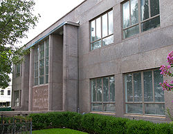 The Burnet County Courthouse in Burnet.
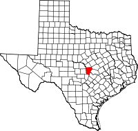
Location in the state of Texas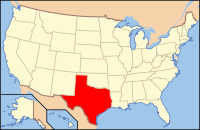
Texas's location in the U.S.Founded February 5, 1852 Named for David Gouverneur Burnet Seat Burnet Area
- Total
- Land
- Water
1,021 sq mi (2,644 km²)
996 sq mi (2,580 km²)
25 sq mi (65 km²), 2.44Population
- (2000)
- Density
42,896
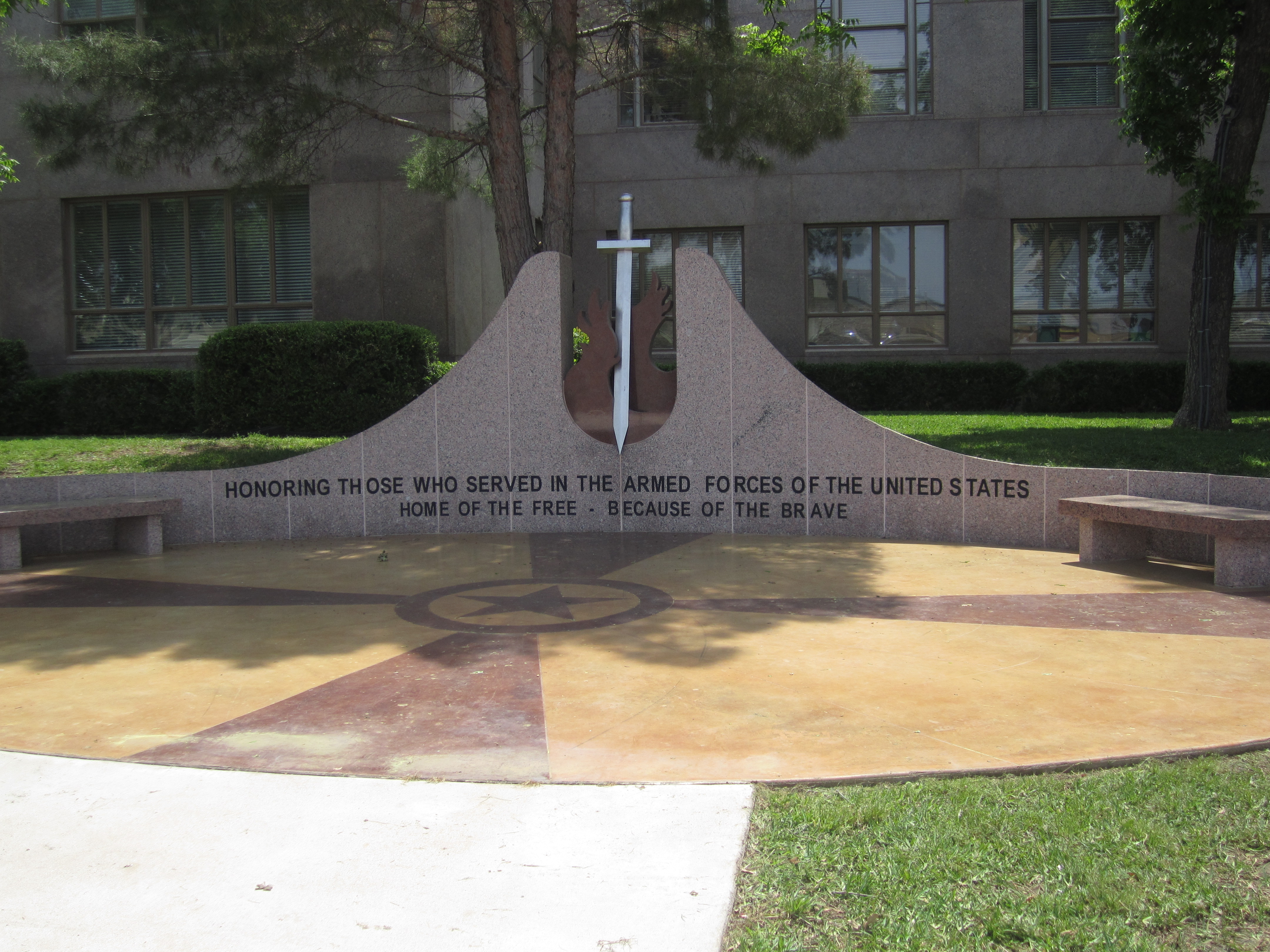
34/sq mi (13/km²)Time zone Central: UTC-6/-5 Website http://www.burnetcountytexas.org/  Veterans Memorial at Burnet County courthouse

Burnet County is a county located on the Edwards Plateau in the U.S. state of Texas. As of 2000, the population was 34,147. The 2008 Census Bureau Estimate was 44,488. Its county seat is Burnet[1]. Burnet is named for David Gouverneur Burnet, the first (provisional) president of the Republic of Texas. The name of the county is pronounced with the emphasis or accent on the first syllable, just as its namesake David Burnet. Burnet County was founded in 1852.
Burnet County is part of the Marble Falls, TX, Micropolitan Statistical Area, as well as the Austin-Round Rock-Marble Falls, TX Combined Statistical Area.[2]
Contents
History timeline
- 4500 B.C. indigenous peoples inhabit the area. Later known tribes in the area include Tonkawa, Lipan Apache and Comanche.[3]
- 1820's-1830's Stephen F. Austin and Green DeWitt surveying and Indian fighting explorations.[3]
- 1849 The United States establishes Fort Croghan.[4]
- 1848 First settlers in the county are Samuel Eli Holland, Logan Vandeveer, Peter Kerr, William Harrison Magill, Noah Smithwick, Captain Jesse B. Burnham, R. H. Hall, Adam Rankin "Stovepipe" Johnson and Captain Christian Dorbandt.[5]
- 1851 Twenty Mormon families under the leadership of Lyman Wight establish a colony at Hamilton Creek, later to be known as Morman Mill.[6]
- 1852 Fourth Texas Legislature creates Burnet County from Bell, Travis and Williamson.[3]
- 1853 First post office is established at Hamilton.[3]
- 1860 - 235 slaves in Burnet County[3]
After the war some former slaves left the county, but many stayed. A group of them settled on land in the eastern part of Oatmeal. In 1870 the black population of the county had increased to 358, keeping pace with the growth of the total number of residents; the number of blacks had fallen to 248 by 1880, however, and the number of new white residents was such that after 1890, blacks represented less than 3 percent of the total population. Some found work on farms and ranches, but by the turn of the century many had moved into the Marble Falls area to work in town.
- 1882-1903 Railroad tracks to Burnet, Granite Mountain, Marble Falls, Lampasas. Lake Victor and Bertram become shipping point communities. Other communities lose population as the railroad offers employment.[3]
- Great Depression of the 20th Century - County farmers suffer financially but find work with government sponsored public-works projects. The Lower Colorado River Authority employs hundreds of people for the construction of the Hamilton (Buchanan) Dam and Roy B. Inks Dam.[3]
Geography
According to the U.S. Census Bureau, the county has a total area of 1,021 square miles (2,644.4 km2), of which 996 square miles (2,579.6 km2) is land and 25 square miles (64.7 km2) (2.44%) is water.
Major highways
 U.S. Highway 183
 U.S. Highway 281
 State Highway 29
Adjacent counties
- Lampasas County (north)
- Bell County (northeast)
- Williamson County (east)
- Travis County (southeast)
- Blanco County (south)
- Llano County (west)
- San Saba County (northwest)
National protected area
- Balcones Canyonlands National Wildlife Refuge (part)
Demographics
As of the census[7] of 2000, there were 34,147 people, 13,133 households, and 9,665 families residing in the county. The population density was 34 people per square mile (13/km²). There were 15,933 housing units at an average density of 16 per square mile (6/km²). The racial makeup of the county was 89.64% White, 1.52% Black or African American, 0.68% Native American, 0.28% Asian, 0.06% Pacific Islander, 6.24% from other races, and 1.58% from two or more races. 14.77% of the population were Hispanic or Latino of any race.
There were 13,133 households out of which 30.10% had children under the age of 18 living with them, 61.50% were married couples living together, 8.60% had a female householder with no husband present, and 26.40% were non-families. 22.50% of all households were made up of individuals and 10.80% had someone living alone who was 65 years of age or older. The average household size was 2.53 and the average family size was 2.94.
In the county, the population was spread out with 24.50% under the age of 18, 7.00% from 18 to 24, 26.00% from 25 to 44, 24.50% from 45 to 64, and 17.90% who were 65 years of age or older. The median age was 40 years. For every 100 females there were 93.80 males. For every 100 females age 18 and over, there were 91.30 males.
The median income for a household in the county was $37,921, and the median income for a family was $43,871. Males had a median income of $30,255 versus $20,908 for females. The per capita income for the county was $18,850. About 7.90% of families and 10.90% of the population were below the poverty line, including 14.50% of those under age 18 and 7.90% of those age 65 or over.
Communities
Cities and towns
- Bertram
- Burnet
- Cottonwood Shores
- Granite Shoals
- Highland Haven
- Horseshoe Bay (partially in other counties)
- Marble Falls
- Meadowlakes
Unincorporated
- Briggs
- Fairland
- Gandy
- Lake Victor
- Mahomet
- Naruna
- Morman Mill
- Oakalla
- Oatmeal
- Scobee
- Sherwood Shores
- Smithwick
- Spicewood
- Sudduth
- Watson
Notable people from Burnet County
- Adam R. "Stovepipe" Johnson, Confederate general and the 1887 founder of Marble Falls, despite being blinded during the war.
- Gerald Lyda (1923–2005), general contractor and cattle rancher, born and raised in Burnet County.
- Logan Vandeveer, early Texas soldier, ranger, cattleman and civic leader. Vandeveer was a leader in presenting the petition to the legislature in 1852 to establish Burnet County and was instrumental in having the town of Burnet named the county seat
See also
References
- ^ "Find a County". National Association of Counties. http://www.naco.org/Counties/Pages/FindACounty.aspx. Retrieved 2011-06-07.
- ^ http://www.whitehouse.gov/omb/assets/bulletins/b10-02.pdf
- ^ a b c d e f g Smryl, Vivian Elizabeth. "Burnet County, Texas". Handbook of Texas Online. Texas State Historical Association. http://www.tshaonline.org/handbook/online/articles/hcb19. Retrieved 29 November 2010.
- ^ "Fort Croghan". Handbook of Texas Online. Texas State Historical Association. http://www.tshaonline.org/handbook/online/articles/qbf13. Retrieved 29 November 2010.
- ^ Goble, Carole A (2009). "Fort Croghan and the First Settlers". Burnet (Images of America). Arcadia Publishing. pp. 9–30. ISBN 978-0738571218.
- ^ Bible, Edna Marie (2006). Never Go First. Trafford Publishing. p. 18. ISBN 978-1412040167.
- ^ "American FactFinder". United States Census Bureau. http://factfinder.census.gov. Retrieved 2008-01-31.
External links
- Burnet County government’s website
- Burnet County tourism office
- Burnet County from the Handbook of Texas Online
- Burnet County TXGenWeb Project
- Burnet Bulletin newspaper
- The Highlander newspaper

San Saba County Lampasas County Bell County Llano County 
Williamson County  Burnet County, Texas

Blanco County Travis County Municipalities and communities of Burnet County, Texas Cities 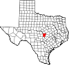
Unincorporated
communitiesBriggs | Lake Victor | Mormon Mill | Oakalla | Oatmeal | Smithwick | Spicewood
Footnotes ‡This populated place also has portions in an adjacent county or counties
Categories:- Texas counties
- Burnet County, Texas
- Populated places established in 1852


Wikimedia Foundation. 2010.