- Koggenland
Infobox Settlement
name =PAGENAME
official_name =
other_name =
native_name =
nickname =
settlement_type =
total_type =
motto =
imagesize =
image_caption =
flag_size =
image_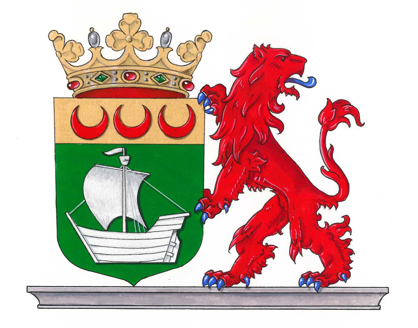
seal_size = 250x175px
image_shield =
shield_size =
image_blank_emblem =
blank_emblem_type =
blank_emblem_size =
mapsize =
map_caption =
mapsize1 =
map_caption1 =
image_dot_
dot_mapsize =
dot_map_caption =
dot_x = |dot_y =
pushpin_
pushpin_label_position =
pushpin_map_caption =Location within the Netherlands
pushpin_mapsize =
subdivision_type = Country
subdivision_name = Kingdom of the Netherlands
subdivision_type1 = Constituent country
subdivision_name1 = NLD
subdivision_type2 = Province
subdivision_name2 =North Holland
subdivision_type3 =
subdivision_name3 =
seat_type =
seat =
parts_type =
parts_style =
parts =
p1 =
p2 =
government_footnotes =
government_type =
leader_title =Mayor
leader_name =Leoni Sipkes-van Zijl
leader_party =GL
leader_title1 =
leader_name1 =
established_title =
established_date =
area_magnitude =
unit_pref =
area_footnotes =
area_total_km2 =83.54
area_land_km2 =80.63
area_water_km2 =2.91
area_total_sq_mi =
area_land_sq_mi =
area_water_sq_mi =
area_water_percent =
elevation_footnotes =
elevation_m =
elevation_ft =
elevation_max_m =
elevation_max_ft =
elevation_min_m =
elevation_min_ft =
population_as_of =2001
population_footnotes =
population_note =
population_total =20022
population_density_km2 =248.3
population_density_sq_mi =
timezone = CET
utc_offset = +1
timezone_DST = CEST
utc_offset_DST = +2
coor_type =
latd=52 |latm=38 |lats= |latNS=N
longd=4 |longm=57 |longs= |longEW=E
postal_code_type =
postal_code =
area_code =
website = [http://www.koggenland.nl www.koggenland.nl]
blank_name =
blank_info =
blank1_name =
blank1_info =
footnotes =Koggenland is a municipality in
North Holland province and the region of West-Frisia of theNetherlands . It came into existence on 1 January 2007 upon the merger of the two former municipalities ofObdam andWester-Koggenland .

Wikimedia Foundation. 2010.