- Charente River
Infobox River | river_name = Charente
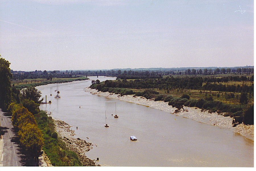
caption = Charente River inTonnay-Charente
origin =Haute-Vienne
mouth =Atlantic Ocean
coord|45|57|24|N|1|4|56|W|name=Atlantic Ocean-Charente|display=inline,title
basin_countries =France
length = 381 km
elevation =
discharge = 40 m³/s
watershed = 10,000 km²The Charente is ariver in westernFrance , flowing into theAtlantic Ocean . It is 381 km long.Its source is in the
Haute-Vienne "département", at Chéronnac, a small village nearRochechouart . It flows through the departmentsHaute-Vienne ,Charente ,Vienne andCharente-Maritime . It flows into theAtlantic Ocean near Rochefort.Navigation
The Charente has been navigable for many years, but navigation has only recently been restored after the river had been virtually abandoned by commercial shipping in the middle of the 20th century. Recreational vessels have now taken possession of the waterway of which the navigability has been completely restored as far upstream as Angoulême. Flowing through cities like Cognac, Jarnac, Saintes and Rochefort, the river has excellent possibilities for tourism.
The river has been canalized upstream from Saintes, and it has locks of a fairly modest size: some 34 by 6 meters. Marinas along the river with boats for hire and good possibilities to moor and disembark make the Charente a perfect leisure area for boat trip lovers. (Source: [http://www.noordersoft.com/indexen.html NoorderSoft Waterways Database] )
Tributaries include:
*Antenne
* Né
* Coran
*Seugne
*Bramerit
*Boutonne
*Arnoult
*Gère Cities along the river include:
*Civray
*Jarnac
*Montignac-Charente
*Angoulême
*Cognac
*Saintes
*Taillebourg
*Saint-Savinien
*Tonnay-Charente
* Rochefort
* Soubise
*Vergeroux References
*http://www.geoportail.fr
* [http://sandre.eaufrance.fr/app/chainage/courdo/htm/R---0000.php?cg=R---0000 The Charente at the Sandre database]
Wikimedia Foundation. 2010.