- Petřín funicular
-
 One of the Petřín funicular's two trains
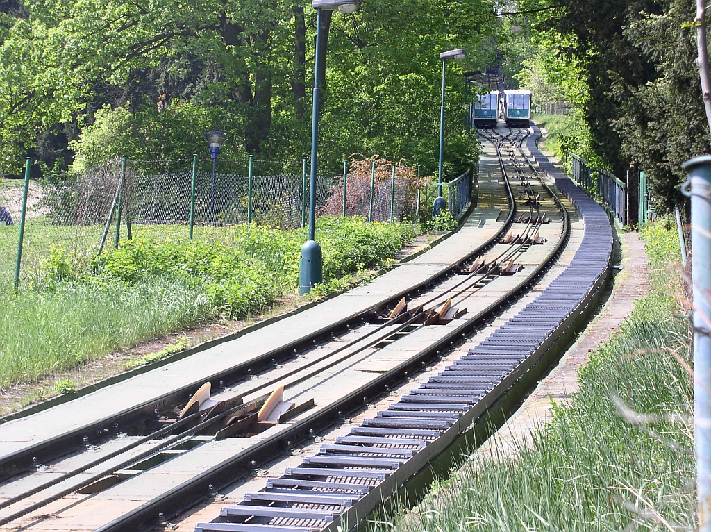
 Close up of the track; note both cars at the passing loop in the background
 Petřín Funicular sign
The Petřín funicular is a funicular railway in the Czech capital city of Prague. It links the Malá Strana district with the top of Petřín hill. The funicular has three stops: Újezd (at the bottom of the hill), Nebozízek (the middle station) and Petřín (at the top of the hill). According to Czech legend, the name of the middle station stems from an incident in which Emperor Charles IV, requesting food, was unable to properly pronounce the Czech words "nebo řízek" (meaning, "or schnitzel"). – the word Nebozízek means diminutively one of types of auger.
The line was originally opened in 1891, with a length of 383 metres, a track gauge of 1 metre, and water balance propulsion. This original line closed with start of the First World War in 1914 and did not reopen after the end of hostilities. The current longer line opened in 1932 with a different track gauge and completely new equipment, and operated throughout the Second World War. However an earth movement in 1965 caused the service to be suspended, and it was not resumed until 1985. At that time new cars were provided and the track reconstructed, but the original machinery retained.[1]
Although design and architecture of the stations are similar to Prague Metro, the funicular is actually operated by the trams division of the city transport company.
The funicular has the following technical parameters:[2]
- Length: 510 metres
- Height: 130 metres
- Maximum gradient: 29.5%
- Cars: 2
- Configuration: Single track with passing loop
- Track gauge: Standard (1435 mm)
- Capacity: 100 passengers per car
- Traction: Electricity
References
- ^ "Public Funiculars of Czech Republic". funimag.com. http://www.funimag.com/funimag11/czech03.htm. Retrieved April 20, 2007.
- ^ "Petrin". Funiculars.net. http://www.funiculars.net/line.php?id=149. Retrieved April 20, 2007.
External links
- Page on the Petřín funicular from DP Praha's official web site
- Article on the Petřín funicular from Funimag
Coordinates: 50°04′55″N 14°23′48″E / 50.08194°N 14.39667°E

This article about transport in the Czech Republic is a stub. You can help Wikipedia by expanding it.