- Deep Freeze Range
-
 Deep Freeze RangeDeep Freeze Range in Antarctica
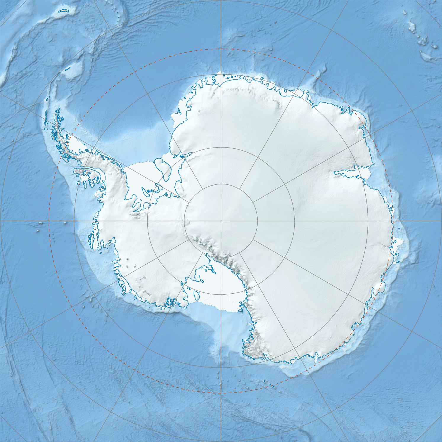
The Deep Freeze Range (74°15′S 163°45′E / 74.25°S 163.75°E) is a rugged mountain range, over 128 km (80 mi) long and about 16 km (10 mi) wide, rising between Priestley and Campbell glaciers in Victoria Land, Antarctica, and extending from the edge of the polar plateau to Terra Nova Bay. Peaks in the low and mid portions of the range were observed by early British expeditions to the Ross Sea.[1]
The range was mapped in detail by the USGS from surveys and U.S. Navy air photos, 1955-63. Named by US-ACAN in recognition of the splendid support to research provided by the U.S. Navy's Operation Deep Freeze expeditions to Antarctica for many years beginning in 1954.[1]
Geological features
Mount Adamson
Mount Adamson (73°55′S 163°0′E / 73.917°S 163°E) is a peak, 3,400 m (11,155 ft) high, rising 10 km (6 mi) east-northeast of Mount Hewson. Named by the northern party of New Zealand Geological Survey Antarctic Expedition (NZGSAE), 1965-66, for R. Adamson, geologist with this party.[2]
Mount Dickason
Mount Dickason (74°24′S 163°58′E / 74.4°S 163.967°E) is a prominent mountain, 2,030 m (6,660 ft) high, at the head of Boomerang Glacier. First mapped by the Northern Party of the British Antarctic Expedition, 1910-13, and named for Seaman Harry Dickason, Royal Navy (RN), a member of the Northern Party.[3]
Mount Hewson
Mount Hewson (73°58′S 162°38′E / 73.967°S 162.633°E) is a bluff-type mountain (3,720 m) standing 10 km (6 mi) WSW of Mount Adamson. Named by the southern party of NZGSAE, 1962-63, for R.W. Hewson, leader and surveyor of this party; also a surveyor for the northern party of NZGSAE, 1961-62.[4]
Mount Queensland
Mount Queensland (74°16′S 163°56′E / 74.267°S 163.933°E) is a prominent mountain, 1,910 m (6,266 ft) high, standing 11 km (7 mi) north of Mount Dickason. It was discovered by the Discovery expedition, 1901-04, which named this mountain for the State of Queensland, Australia, in recognition of the assistance given the expedition by its government.[5]
Shafer Peak
Shafer Peak (74°01′S 162°36′E / 74.017°S 162.6°E) is a prominent peak, 3,600 m (11,811 ft) high, standing 5 km (3 mi) south of Mount Hewson. Mapped by the USGS from surveys and U.S. Navy air photos, 1955-63. Named by Advisory Committee on Antarctic Names (US-ACAN) for Lieutenant Cdt. Willard G. Shafer, (CEC) U.S. Navy, officer in charge of the nuclear power plant at McMurdo Station, winter party 1965.[6]
References
- ^ a b "Deep Freeze Range". Geographic Names Information System, U.S. Geological Survey. http://geonames.usgs.gov/pls/gnispublic/f?p=gnispq:5:::NO::P5_ANTAR_ID:3665. Retrieved 2004-11-12.
- ^ "Mount Adamson". Geographic Names Information System, U.S. Geological Survey. http://geonames.usgs.gov/pls/gnispublic/f?p=gnispq:5:::NO::P5_ANTAR_ID:71. Retrieved 2008-03-23.
- ^ "Mount Dickason". Geographic Names Information System, U.S. Geological Survey. http://geonames.usgs.gov/pls/gnispublic/f?p=gnispq:5:::NO::P5_ANTAR_ID:3843. Retrieved 2010-05-18.
- ^ "Mount Hewson". Geographic Names Information System, U.S. Geological Survey. http://geonames.usgs.gov/pls/gnispublic/f?p=gnispq:5:::NO::P5_ANTAR_ID:6751. Retrieved 2010-05-18.
- ^ "Mount Queensland". Geographic Names Information System, U.S. Geological Survey. http://geonames.usgs.gov/pls/gnispublic/f?p=gnispq:5:::NO::P5_ANTAR_ID:12260. Retrieved 2006-08-23.
- ^ "Shafer Peak". Geographic Names Information System, U.S. Geological Survey. http://geonames.usgs.gov/pls/gnispublic/f?p=gnispq:5:::NO::P5_ANTAR_ID:13637. Retrieved 2007-12-30.
Categories:- Mountain ranges of Victoria Land
Wikimedia Foundation. 2010.