- Custer County, Idaho
-
Custer County, Idaho 
Seal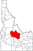
Location in the state of Idaho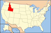
Idaho's location in the U.S.Founded January 8, 1881 Named for General Custer gold mine Seat Challis Largest city Challis Area
- Total
- Land
- Water
4,936.79 sq mi (12,786 km²)
4,925.45 sq mi (12,757 km²)
11.34 sq mi (29 km²), 0.23%Population
- (2000)
- Density
4,342
0.88/sq mi (0.34/km²)Time zone Mountain: UTC-7/-6 Website www.co.custer.id.us Custer County is a rural mountain county located in the center of the U.S. state of Idaho. Established in 1881, it was named for the General Custer Mine, where gold was discovered five years earlier (shortly after his death at the Battle of the Little Bighorn in eastern Montana). The population was 4,342 at the 2000 census; it is estimated to have fallen to 4,166 by 2007.[1] The county seat is Challis[2]. The center of population of Idaho is located in Custer County, in the city of Stanley.[3]
Contents
Geography
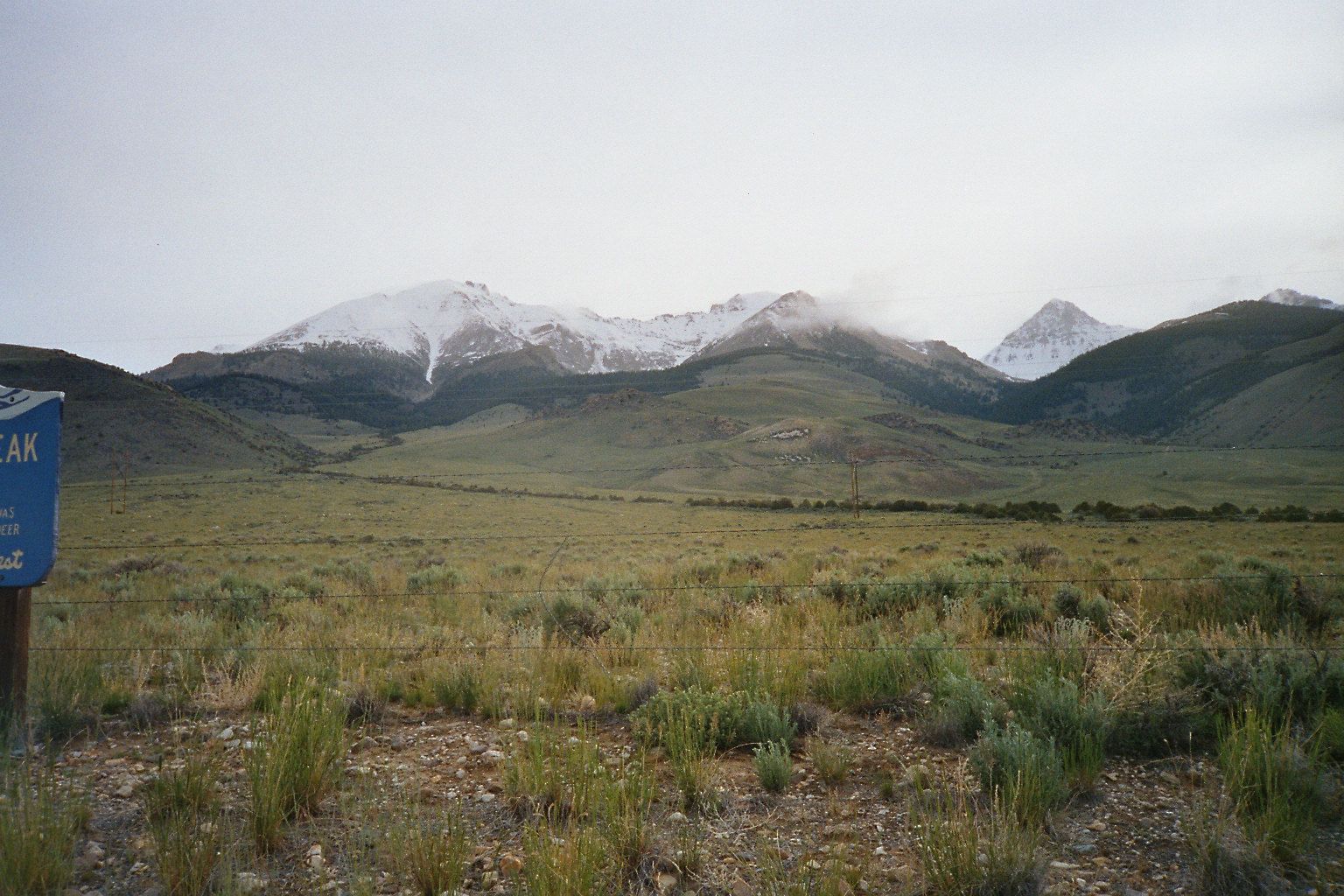
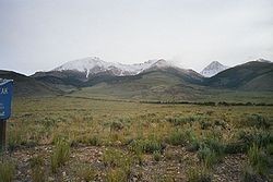 Leatherman Peak, 12,228 feet (3727 m), second highest in Idaho, in the Lost River Range in eastern Custer County
According to the 2000 census, the county has a total area of 4,936.79 square miles (12,786.2 km2), of which 4,925.45 square miles (12,756.9 km2) (or 99.77%) is land and 11.34 square miles (29.4 km2) (or 0.23%) is water.[4] The Lost River Range, the state's highest mountains, are located in eastern Custer County. The highest is Borah Peak, the highest natural point in Idaho at 12,662 feet (3859 m). On the western border of the county are Idaho's famous Sawtooth Mountains; the tallest is Thompson Peak in Custer County, above picturesque Redfish Lake. Twenty miles (32 km) east are the White Cloud Mountains, whose tallest is Castle Peak at 11,815 feet (3601 m).
The Salmon River and Big Lost River flow through Custer County.
Adjacent counties
- Lemhi County - north
- Butte County - east
- Blaine County - south
- Elmore County - southwest
- Boise County - southwest
- Valley County - west
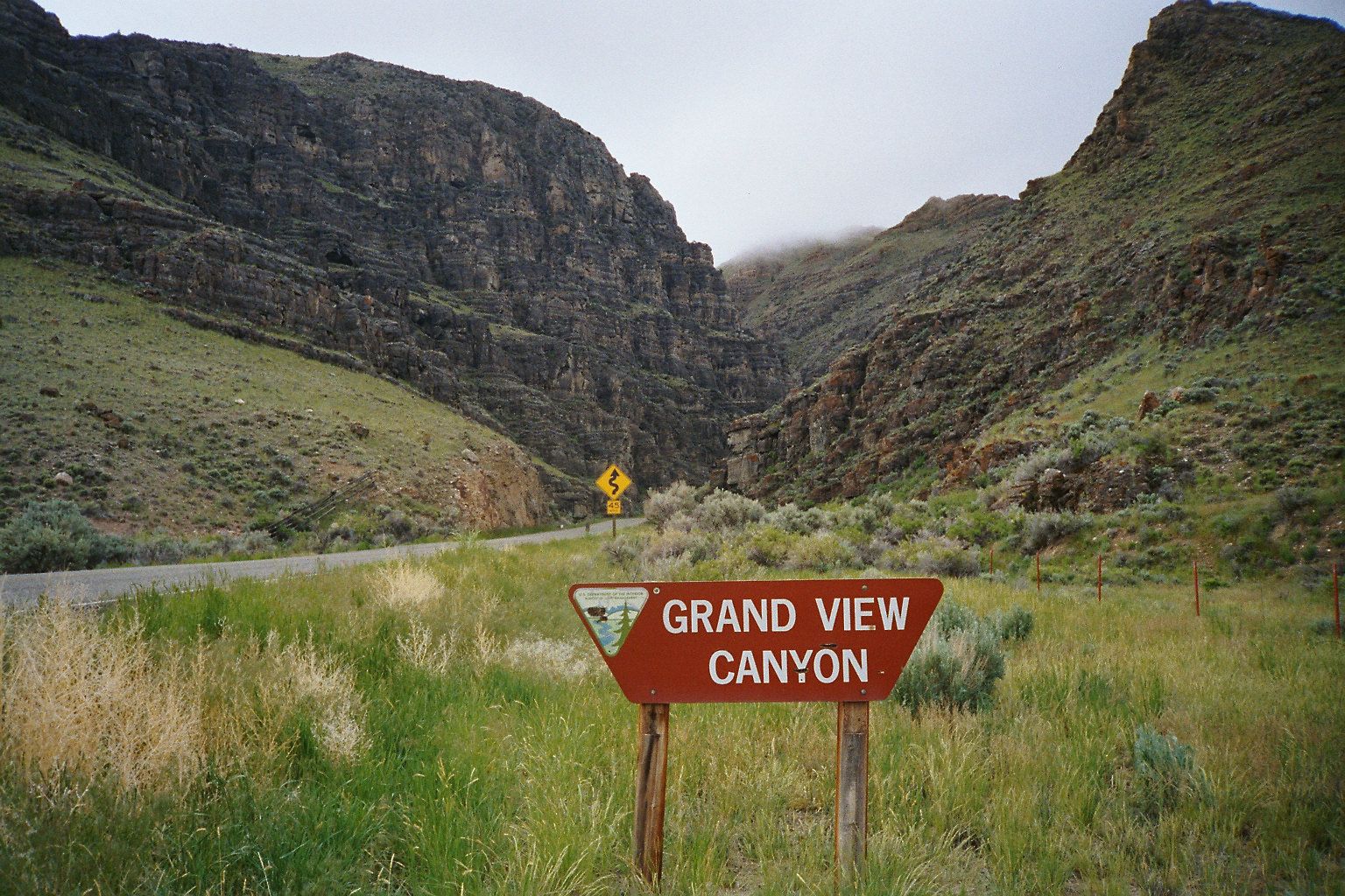
 Grand View Canyon (US-93 between Mackay and Challis
National protected areas
- Challis National Forest (part)
- Sawtooth National Forest (part)
- Sawtooth National Recreation Area (part)
- Sawtooth Wilderness (part)
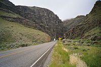 Grand View Canyon (US-93)
Major Highways
 - US 93
 SH-21 - Ponderosa Pine Scenic Byway
 SH-75 - Sawtooth Scenic Byway, Salmon River Scenic Byway
Demographics
As of the census[5] of 2000, there were 4,342 people, 1,770 households, and 1,196 families residing in the county. The population density was 0.88 people per square mile (0.34/km²). There were 2,983 housing units at an average density of 0.60 per square mile (0.23/km²). The racial makeup of the county was 97.28% White, 0.55% Native American, 0.02% Asian, 0.02% Pacific Islander, 1.17% from other races, and 0.94% from two or more races. 4.21% of the population were Hispanic or Latino of any race. 18.6% were of English, 17.0% German, 10.9% Irish and 9.9% American ancestry according to Census 2000.
Historical populations Census Pop. %± 1900 2,049 — 1910 3,001 46.5% 1920 3,550 18.3% 1930 3,162 −10.9% 1940 3,549 12.2% 1950 3,318 −6.5% 1960 2,996 −9.7% 1970 2,967 −1.0% 1980 3,385 14.1% 1990 4,133 22.1% 2000 4,342 5.1% Est. 2007 4,166 −4.1% sources:[1][6] There were 1,770 households out of which 29.90% had children under the age of 18 living with them, 60.10% were married couples living together, 4.40% had a female householder with no husband present, and 32.40% were non-families. 27.70% of all households were made up of individuals and 11.30% had someone living alone who was 65 years of age or older. The average household size was 2.41 and the average family size was 2.96.
In the county the population was spread out with 25.50% under the age of 18, 4.80% from 18 to 24, 25.90% from 25 to 44, 29.30% from 45 to 64, and 14.50% who were 65 years of age or older. The median age was 41 years. For every 100 females there were 104.50 males. For every 100 females age 18 and over, there were 106.80 males.
The median income for a household in the county was $32,174, and the median income for a family was $39,551. Males had a median income of $32,255 versus $21,463 for females. The per capita income for the county was $15,783. About 10.70% of families and 14.30% of the population were below the poverty line, including 16.70% of those under age 18 and 12.80% of those age 65 or over.
Communities
Cities
Unincorporated communities
Politics
Custer County is a very strongly Republican county. In 2008 it supported Republican John McCain over Democrat Barack Obama by a margin of 71% to 25%.
See also
References
- ^ a b Custer County QuickFacts, United States Census Bureau, 2009-02-20. Accessed 2009-04-03.
- ^ "Find a County". National Association of Counties. http://www.naco.org/Counties/Pages/FindACounty.aspx. Retrieved 2011-06-07.
- ^ census.gov statecenters
- ^ "Census 2000 U.S. Gazetteer Files: Counties". United States Census. http://www.census.gov/tiger/tms/gazetteer/county2k.txt. Retrieved 2011-02-13.
- ^ "American FactFinder". United States Census Bureau. http://factfinder.census.gov. Retrieved 2008-01-31.
- ^ census.gov Idaho population by county, 1900-90 accessed 2009-04-27
Further reading

Lemhi County Valley County 
Butte County  Custer County, Idaho

Elmore County and Boise County Blaine County Municipalities and communities of Custer County, Idaho Cities Challis | Clayton | Lost River | Mackay | Stanley

Unincorporated
communityEllis
Ghost towns  State of Idaho
Topics - Index
- Geography
- Government
- Delegations
- Governors
- History
- Symbols
- Images
- People
- Visitor Attractions
Society Regions Larger
citiesSmaller
citiesCounties - Ada
- Adams
- Bannock
- Bear Lake
- Benewah
- Bingham
- Blaine
- Boise
- Bonner
- Bonneville
- Boundary
- Butte
- Camas
- Canyon
- Caribou
- Cassia
- Clark
- Clearwater
- Custer
- Elmore
- Franklin
- Fremont
- Gem
- Gooding
- Idaho
- Jefferson
- Jerome
- Kootenai
- Latah
- Lemhi
- Lewis
- Lincoln
- Madison
- Minidoka
- Nez Perce
- Oneida
- Owyhee
- Payette
- Power
- Shoshone
- Teton
- Twin Falls
- Valley
- Washington
Categories:- Idaho counties
- Custer County, Idaho
- 1881 establishments in the United States
- Populated places established in 1881


Wikimedia Foundation. 2010.