- Clipston, Northamptonshire
-
Coordinates: 52°25′36″N 0°57′00″W / 52.4268°N 0.9499°W
Clipston 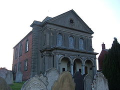
Clipston Chapel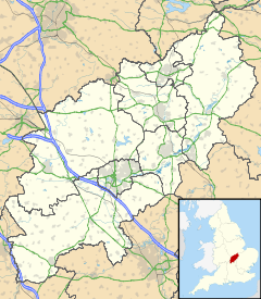
 Clipston
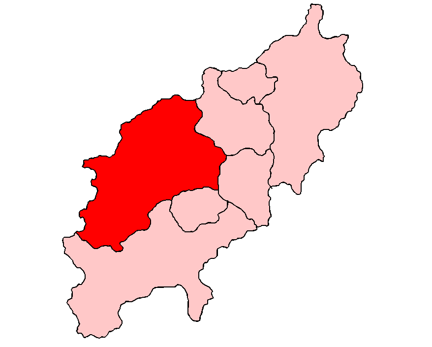
Clipston shown within NorthamptonshirePopulation 613 OS grid reference SP7181 District Daventry Shire county Northamptonshire Region East Midlands Country England Sovereign state United Kingdom Post town Market Harborough Postcode district LE16 Dialling code 01858 Police Northamptonshire Fire Northamptonshire Ambulance East Midlands EU Parliament East Midlands UK Parliament Kettering List of places: UK • England • Northamptonshire Clipston is a village and civil parish that is administered as part of the Daventry district of Northamptonshire in England. The town of Market Harborough is much nearer and so the village may be regarded as an economic satellite of that town rather than Daventry. At the time of the 2001 census, the parish had a population of 613 people.[1]
The village has had a school since 1665. Clipston has two pubs, The Red Lion and The Bull's Head. It also has a church, a village hall and a green.
Between 1859 and 1960 the village was served by Clipston and Oxendon railway station about 3 miles north-east of the village and running trains between Northampton in the south and Market Harborough in the north.
References
- ^ Office of National Statistics: Clipston CP: Parish headcounts. Retrieved 8 November 2009
External links
- Map sources for Clipston, Northamptonshire
Categories:- Northamptonshire geography stubs
- Villages in Northamptonshire


Wikimedia Foundation. 2010.