- Clay Coton
-
Coordinates: 52°23′32″N 1°07′38″W / 52.3923°N 1.1271°W
Clay Coton 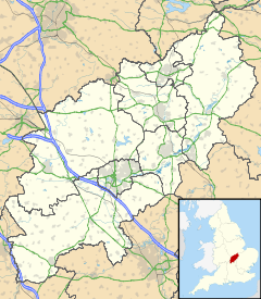
 Clay Coton
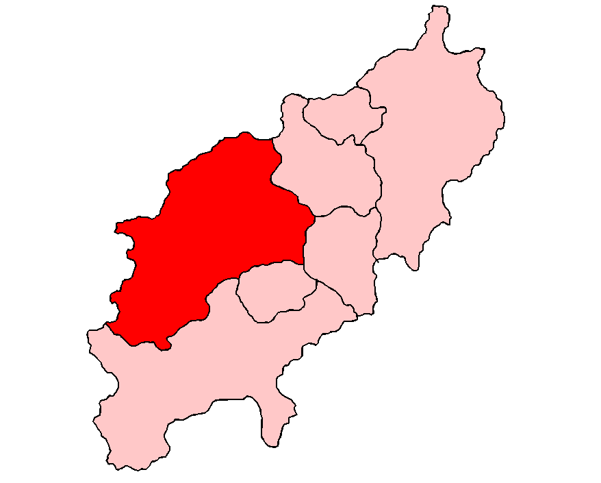
Clay Coton shown within NorthamptonshireOS grid reference SP5977 District Daventry Shire county Northamptonshire Region East Midlands Country England Sovereign state United Kingdom Post town Northampton Postcode district NN6 Dialling code 01788 Police Northamptonshire Fire Northamptonshire Ambulance East Midlands EU Parliament East Midlands UK Parliament Daventry List of places: UK • England • Northamptonshire Clay Coton is a village in the Daventry district of the county of Northamptonshire in England.
The village is dominated by the mediaeval former church of St. Andrews. Built in 1340, it fell into disuse in the 1950s and was renovated as a private house in 2000. However the surrounding graveyard still has public access.
Until 2002, despite the small size of the village, it included a pub, called the 'Fox and Hounds'; it was later renamed the 'Fox'. The Fox was renowned for its folk music nights and cask ales.[citation needed] Like the church, it has now been converted to a private house.
External links
- Map sources for Clay Coton
Categories:- Northamptonshire geography stubs
- Villages in Northamptonshire

Wikimedia Foundation. 2010.