Longhorn Cavern State Park
- Longhorn Cavern State Park
Infobox_protected_area | name = Longhorn Cavern State Park
iucn_category =
caption =
locator_x = 171
locator_y = 125
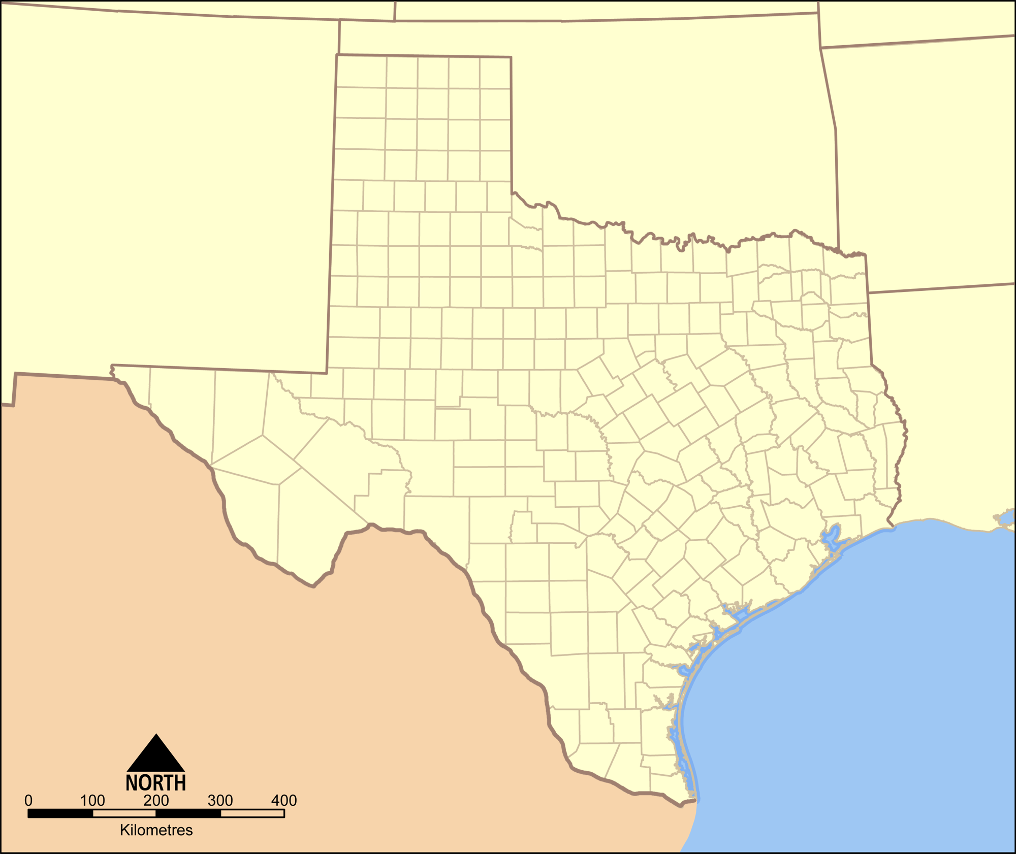
location = Burnet County, Texas
nearest_city = Kingsland
lat_degrees = 30
lat_minutes = 41
lat_seconds = 5
lat_direction = N
long_degrees = 098
long_minutes = 21
long_seconds = 3
long_direction = W
area = 645.62 acres
(3.01 km²)
established = 1976
visitation_num =
visitation_year =
governing_body = Texas Parks and Wildlife Department
Longhorn Cavern State Park is a state park located in Burnet County, Texas, United States and is administered by the Texas Parks and Wildlife Department. The land for Longhorn Cavern State Park was acquired in 1932 - 1937 from private owners. It was dedicated a state park in 1932 and was opened in 1938. The park was dedicated as a National Natural Landmark in 1971.
From 1934 to 1942, Company 854 of the Civilian Conservation Corps constructed residences, pavilions and an observation tower in the National Park Service Rustic architectural style. They also explored and developed the cavern.
The park is named for Longhorn Cavern, a limestone cave formed by the cutting action of an underground river that receded thousands of years ago. The cave was used throughout the years by indians, Confederate soldiers and outlaws, including Sam Bass, before becoming a tourist attraction.
ee also
* List of Texas state parks
References
External links
* [http://www.tpwd.state.tx.us/spdest/findadest/parks/longhorn_cavern/ Texas Parks and Wildlife: Longhorn Cavern State Park]
* [http://www.longhorncaverns.com/ Longhorn Cavern State Park]
Wikimedia Foundation.
2010.
Look at other dictionaries:
Copper Breaks State Park — is a state park in Hardeman County, located approximately 12 miles (19 km) south of Quanah, the county seat. It covers around 1,900 acres (770 ha) and contains two small lakes and 10 miles (16 km) of trails. Originally, Copper… … Wikipedia
McKinney Falls State Park — Lower McKinney Falls … Wikipedia
Dinosaur Valley State Park — The Paluxy River in Dinosaur Valley State Park Location Somervell County … Wikipedia
Mother Neff State Park — A forest in Mother Neff State Park Mother Neff State Park is a 259 acre (105 ha) state park located on the Leon River west of Moody, Texas in Coryell County. The park is part of Mother Neff State Park and F.A.S. 21 B(1) Historic District,… … Wikipedia
Davis Mountains State Park — Davis Mountains … Wikipedia
Colorado Bend State Park — Base of the Gorman Fall … Wikipedia
Monahans Sandhills State Park — Coordinates: 31°38′51″N 102°49′23″W / 31.6475°N 102.82306°W / 31.6475; 102.82306 … Wikipedia
Cooper Lake State Park — A swimming area at Cooper Lake State Park Cooper Lake State Park is a Texas State Park about three miles (5 km) south of Cooper, Texas. The park is situated on Jim Chapman Lake, formerly known as Cooper Lake. There are actually two… … Wikipedia
Mustang Island State Park — is a state park located south of the city of Port Aransas, Texas, United States on the coast of the Gulf of Mexico that covers 3,954 acres (1,600 ha) and has a 5 mile (8.0 km) beachfront. The land was acquired from private owners in… … Wikipedia
State Parks in Texas — Dies ist die Liste der State Parks im US Bundesstaat Texas. Bastrop State Park … Deutsch Wikipedia