- Dilham
-
Coordinates: 52°46′05″N 1°27′22″E / 52.76815°N 1.45618°E
Dilham 
Dilham St Nicholas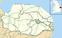
 Dilham
Dilham shown within NorfolkArea 6.55 km2 (2.53 sq mi) Population 301 - Density 46 /km2 (120 /sq mi) OS grid reference TG332245 Parish Dilham District North Norfolk District Council Shire county Norfolk Region East Country England Sovereign state United Kingdom Post town NORTH WALSHAM Postcode district NR28 Dialling code 01692 Police Norfolk Fire Norfolk Ambulance East of England EU Parliament East of England UK Parliament North Norfolk List of places: UK • England • Norfolk Dilham is a village and civil parish covering an area of 6.55 km2 (2.53 sq mi) with a population of 301 in 128 homes as of the 2001 census.[1] It is on the River Ant just of the A149 road, near Stalham in Norfolk, England within The Broads. The name comes from the extensive fields of dill, a herb which was grown commercially here.
 Dilham Fishery
It is the limit of Broads navigation for larger boats, but small boats, and especially non-powered boats, can travel on the North Walsham & Dilham Canal until Honing.
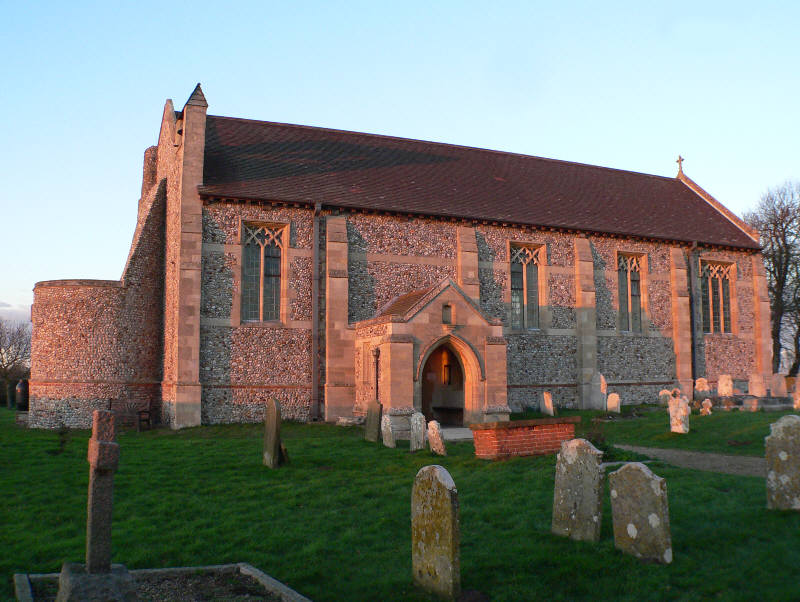
Its church, St Nicholas, is one of 124 existing round-tower churches in Norfolk. Attached to the nearby Dilham Hall is a fifteenth century tower, all that remains of Dilham Castle, a fifteenth century fortified house.
Notes
- ^ Office for National Statistics & Norfolk County Council, 2001. "Census population and household counts for unparished urban areas and all parishes."
External links
Categories:- Villages in Norfolk
- Civil parishes in Norfolk
- Norfolk geography stubs

Wikimedia Foundation. 2010.