- Ogden, Calgary
-
For other uses, see Ogden (disambiguation).
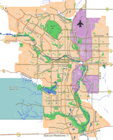
Ogden — Neighbourhood — Location of Ogden in Calgary
Coordinates: 50°59′15″N 114°00′45″W / 50.9875°N 114.0125°W Country  Canada
Province  Alberta
City  Calgary
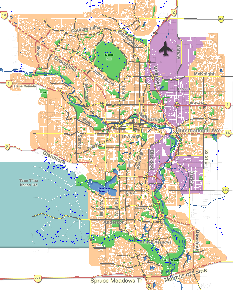
Quadrant SE Ward 9 Established 1912 Government[1] [1] – Administrative body Calgary City Council – Alderman Gian-Carlo Carra Area – Total 1.6 km2 (0.6 sq mi) Elevation 1,025 m (3,363 ft) Population (2006)[2] [2] – Total 8,766 – Average Income $47,500 Postal code T2C Website Ogden Community Association Ogden is a residential neighbourhood in the south-east quadrant of Calgary, Alberta. It includes the districts of Lynnwood and Millican Estates. It is bounded by Glenmore Trail to the south, Deerfoot Trail and the Bow River to the west, and the CPR tracks and the industrial areas of Ogden Shops to the north and east.
Ogden was established in 1912. It is named after I.G. Ogden, former VP of the Canadian Pacific Railway, while the district of Millican takes its name from the Millican family, homesteaders of the early 1900s. It is represented in the Calgary City Council by Ward 9 Alderman Gian-Carlo Carra.
The postal code in this area is T2C.
Contents
Demographics
In 2006 the neighbourhood had a population of 8,766.[3] Residents in this community had a median household income of $47,500 in 2000, and there were 18.1% low income residents living in the neighborhood.[1] As of 2000, 14.6% of the residents were immigrants. A proportion of 19.9% of the buildings were condominiums or apartments, and 33.3% of the housing was used for renting.[2]
Education
The community is served by Banting and Best Elementary and Sherwood Community public schools, as well as St. Bernadette Elementary School (catholic).
See also
References
- ^ a b c City of Calgary (2004). "Ward 9 Profile". http://www.calgary.ca/docgallery/bu/cns/community_social_statistics/ward_9_profile.pdf. Retrieved 2007-05-13.
- ^ a b c City of Calgary (2006). "Ogden Community Statistics". http://www.calgary.ca/docgallery/bu/cns/community_social_statistics/ogden.pdf. Retrieved 2007-05-13.
- ^ City of Calgary (2006). "Community Population Comparison". http://www.calgary.ca/DocGallery/BU/cityclerks/popcomparisonbycomm.pdf. Retrieved 2007-05-13.
External links

Burns Industrial Alyth/Bonny Brook Dover Bow River 
Ogden Shops  Ogden
Ogden 

Deerfoot Trail Riverbend Shepard Industrial Coordinates: 50°59′15″N 114°00′45″W / 50.9875°N 114.0125°W
Categories:- Neighbourhoods in Calgary
Wikimedia Foundation. 2010.