- St. Andrews Heights, Calgary
Infobox Settlement
official_name = St. Andrews Heights
other_name =
settlement_type = Neighbourhood
imagesize =
image_caption =
city_logo =
citylogo_size =
mapsize =
map_caption =
image_dot_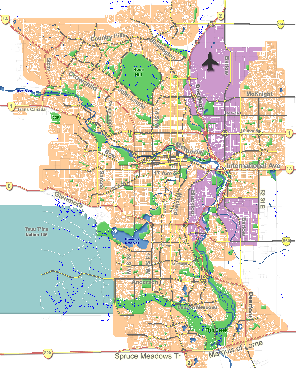
dot_mapsize = 225px
dot_map_caption = Location of St. Andrews Heights inCalgary
dot_x = 92|dot_y = 100
subdivision_type = Country
subdivision_name = CAN
subdivision_type1 = Province
subdivision_name1 = AB
subdivision_type2 = City
subdivision_name2 = flag|Calgary
subdivision_type3 = Quadrant
subdivision_name3 = NW
subdivision_type4 = Ward
subdivision_name4 = 7
government_footnotes =
government_type =
leader_title = Administrative body
leader_name =Calgary City Council
leader_title1 = Alderman
leader_name1 = Druh Farrell
leader_title2 =
leader_name2 =
established_title = Established
established_date = 1953
established_title2 = Annexed
established_date2 = 1910
area_magnitude =
area_footnotes =
area_total_km2 =
population_as_of = 2006
population_footnotes =
population_total = 1588
population_density_km2 =
population_blank1_title = Average Income
population_blank1 = $59489
timezone =
utc_offset =
latd= 51|latm= 03|lats= 35|latNS= N|longd= 114|longm= 07|longs= 46|longEW= W
elevation_footnotes =
elevation_m = 1070
postal_code_type =
postal_code =
area_code =
blank_name =
blank_info =
blank1_name =
blank1_info =
website = [http://www.calgaryarea.com/nw/andrewshts/andewshts.htm St. Andrews Heights Community Association]
footnotes = St. Andrews Heights is a residential neighbourhood in the North-West quadrant ofCalgary ,Alberta . It is bounded to the North by [Trans-Canada Highway, to the East byCrowchild Trail , to the south by Toronto Crescent and to the West by 29 Street. TheFoothills Medical Centre occupies the North-Western corner of the community andMcMahon Stadium and the "Foothills Athletic Park" borders to the NorthEast. TheBow River flows immediately South of the neighbourhood.The area was annexed to the City of Calgary in 1910 and St. Andrews Heights was established in 1953. It is represented in the
Calgary City Council by Ward 7Alderman Druh Farrell. [Cite web| author= Federation of Calgary Communities | url= http://www.calgaryarea.com/nw/andrewshts/andewshts.htm |title= St. Andrews Heights Community| accessdate= 2007-05-16]Demographics
In 2006 the neighbourhood had a population of 1,588.Cite web| url=http://www.calgary.ca/DocGallery/BU/cityclerks/popcomparisonbycomm.pdf | author= City of Calgary | title= Community Population Comparison | year=2006 | accessdate= 2007-05-16] Residents in this community had a
median household income of $59,489 in 2000, and there were 13.7% low income residents living in the neighborhood.Cite web| url= http://www.calgary.ca/docgallery/bu/cns/community_social_statistics/ward_7_profile.pdf | title=Ward 7 Profile| author=City of Calgary| year=2004| accessdate= 2007-05-16] As of 2000, 30.8% of the residents wereimmigrant s. A proportion of 42.4% of the buildings werecondominium s orapartment s, and 46.5% of the housing was used forrenting .Cite web| url= http://www.calgary.ca/docgallery/bu/cns/community_social_statistics/st_andrews_heights.pdf| title= St. Andrews Heights Community Statistics| author= City of Calgary | year= 2006 | accessdate= 2007-05-16]Education
The community is served by Branton Junior High and Queen Elizabeth Junior and Senior High
public school s, as well as University Elementary and Rundle College.ee also
*
List of neighbourhoods in Calgary References
External links
* [http://www.calgarycommunities.com/communities/standrewheights.php St. Andrews Heights Community Association]
Canadian City Geographic Location (8-way)
Northwest =Foothills Medical Centre
North = University HeightsTrans-Canada Highway
Northeast = Banff Trail
West = Montgomery
Centre = St. Andrews Heights
East =

Wikimedia Foundation. 2010.