- Manahawkin Bay Bridge
-
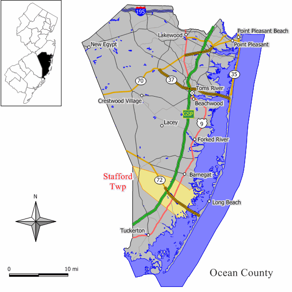
 Map of New Jersey Route 72 showing the bridge crossing Manahawkin Bay
The Dorland J. Henderson Memorial Bridge,[1] familiarly known as the Manahawkin Bay Bridge or (while technically inaccurate) The Causeway, is a steel girder bridge that spans Manahawkin Bay, carrying traffic along Route 72 between Long Beach Island (LBI) and Manahawkin, New Jersey. The bridge starts at Manahawkin and ends at Ship Bottom on Long Beach Island. The bridge spans five land masses: the mainland, Long Beach Island, and three intermediate land masses, of which two are small and one is rather large. It was listed as being structurally deficient in 2004, and a replacement is planned, which may possibly be completed by 2017. This is hoped to be the time by residents that the bridge will be replaced, since the current one is in a badly decaying state, is thought to be unrepairable, and could collapse, if not replaced on time.
The bridge provides spectacular views of Barnegat Bay, Little Egg Harbor Bay and the Atlantic City skyline, less than 25 miles away.
Structural problems
Documented cracks due to metal fatigue have been found in structural members of the bridge. The New Jersey Department of Transportation (NJDOT) had previously taken steps to arrest the fatigue cracking, including modifying bridge girders and beams with drill stops. On April 17, 2007, Material Technologies, Inc. was retained by NJDOT to seek out fatigued members and prioritize their repair or replacement using its Electrochemical Fatigue Sensor system.[2]
References
- ^ Bridge is named by an Act of the New Jersey Legislature
- ^ Press release on structural problems with the bridge due to metal fatigue -- from Yahoo! News
External links
Crossings of the Barnegat Bay Upstream
Thomas A. Mathis/J. Stanley Tunney Bridge

Manahawkin Bay Bridge

Downstream
Atlantic OceanCoordinates: 39°39′42″N 74°12′09″W / 39.6616°N 74.2026°W
Categories:- Long Beach Island
- Buildings and structures in Ocean County, New Jersey
- Transportation in Ocean County, New Jersey
- Road bridges in New Jersey
- New Jersey building and structure stubs
- United States bridge (structure) stubs
Wikimedia Foundation. 2010.