- Deua National Park
-
Deua National Park IUCN Category Ib (Wilderness Area)Rainforest of Deua National Park
Coordinates 35°58′27″S 149°43′15″E / 35.97417°S 149.72083°ECoordinates: 35°58′27″S 149°43′15″E / 35.97417°S 149.72083°E Area 1,220 km2 (471 sq mi) Established 1979 Managing authorities NSW National Parks and Wildlife Service Official site http://www.nationalparks.nsw.gov.au Deua is a national park in New South Wales, Australia, 320 kilometres south of Sydney, and 100 kilometres east of Canberra. The nearest towns on the coast are Batemans Bay, Moruya and Narooma.
A remote wilderness area of escarpments and gullies, waterfalls, limestone caves, pockets of Pinkwood rainforest and outstanding eucalyptus scenery. Deua is an important refuge for plant and animal species, many listed as threatened.
Contents
Flora
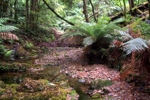
Common eucalyptus species include Black Ash, Monkey Gum, Messmate and White Ash. More rare species include the Jilliga Ash and Mongamulla Mallee. High altitude rainforests occur in gullies protected from fire. They are dominated by the Pinkwood, Hard Water Fern and Soft Tree Fern. Other habitats include swamps, bogs, riverside forest, and rocky scrub.[1]
Fauna
Over 106 species of birds and 62 types of mammals have been recorded in Deua National Park. Particularly noteworthy is the high diversity of birds of prey, including the Peregrine Falcon and Powerful Owl. The caves provide maternity sites for a large variety of bats.
Gallery
-
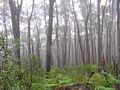
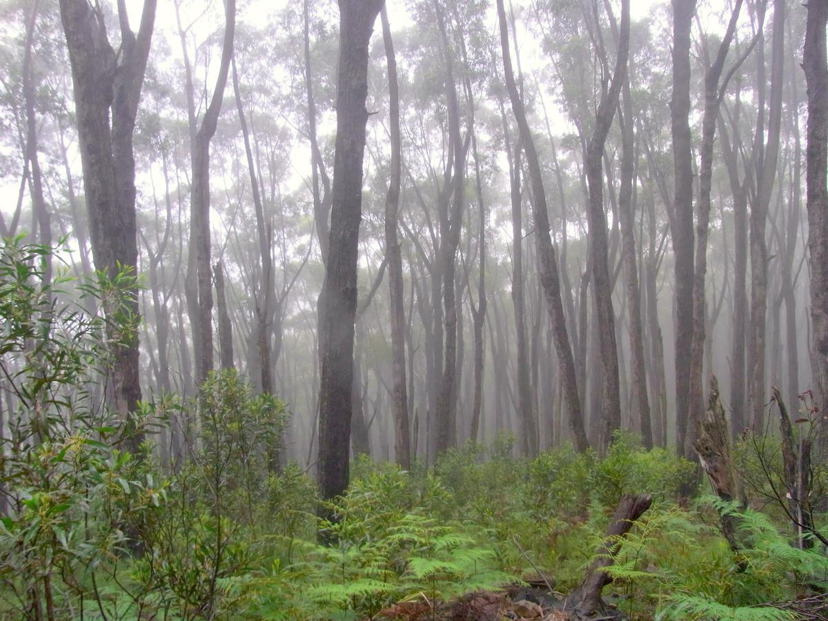
Black Ash in mountain mist, Deua National Park
-
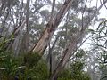
Jilliga Ash, Deua National Park
-
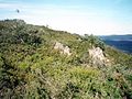
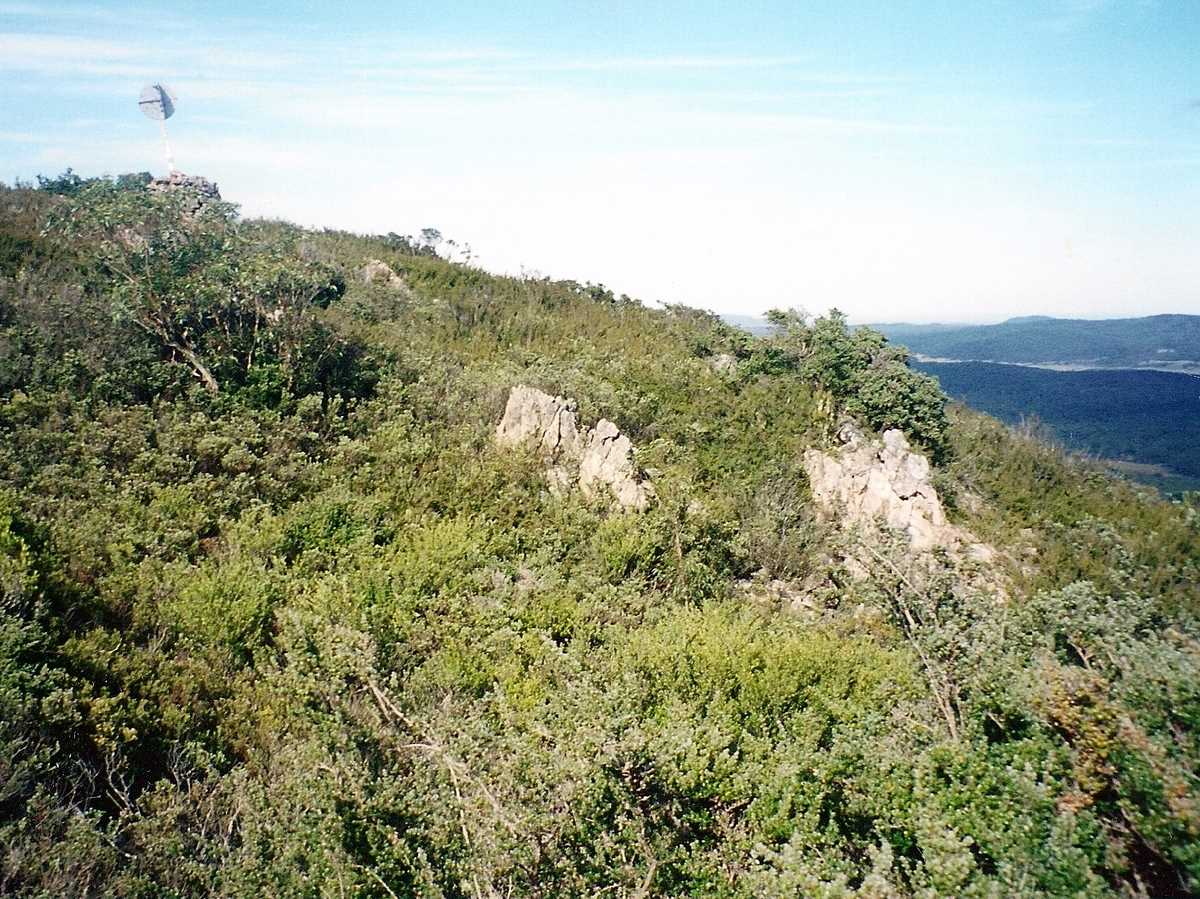
summit of Big Badja, Deua National Park
-
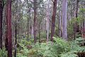
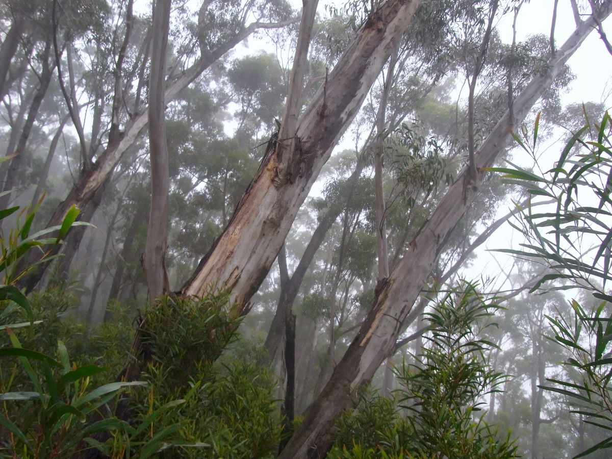
Moist eucalyptus forest, Deua National Park
-
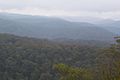
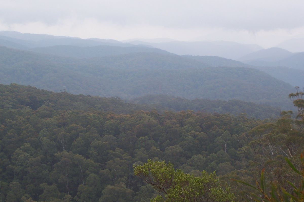
view from Hanging Mountain, Deua National Park
References
- ^ National Parks & Wildlife Service - information pamphlet November 2008
See also
Categories:- IUCN Category Ib
- National parks of New South Wales
- South Coast, New South Wales
- Protected areas established in 1979
- 1979 establishments in Australia
- New South Wales protected area stubs
-

Wikimedia Foundation. 2010.