- Montauk Highway
-
Montauk Highway


Major junctions West end: Merrick Boulevard and Carman Mill Road in West Amityville  NY 110 in Amityville
 NY 109 in Babylon
 NY 231 in Babylon
 Robert Moses Causeway in West Islip
 NY 111 in Islip
 Heckscher Parkway in Great River
 NY 27 from Great River to Oakdale
 NY 112 in Patchogue
 NY 24 in Hampton Bays
 NY 114 in East Hampton
East end: Montauk Point State Park in Montauk Highway system Numbered highways in New York
Interstate • U.S. • N.Y. (former) • Reference • County (Suffolk)←  CR 79
CR 79CR 80 CR 81  →
→←  CR 84
CR 84CR 85 CR 86  →
→Montauk Highway is one of the original through highways of Long Island, New York, extending from Jamaica, in the New York City borough of Queens to Montauk Point in Suffolk County, a distance of approximately 100 miles (~160 km).
Montauk Highway begins in Jamaica, the county seat of Queens County and an important railroad junction located in the east-central part of the county. Montauk Highway was routed in a southeasterly direction toward the Atlantic Ocean coastline of Long Island, turning in an east-northeasterly direction in current Nassau County to more or less parallel the shore through Suffolk County, ending at Montauk Point, the easternmost point of land on the South Fork of the island. Within Queens, the road is known as Merrick Boulevard today, and for its entire run in Nassau County, the road is Merrick Road; the Montauk Highway designation picks up in Amityville.Montauk Highway was planned as the southernmost all-weather road on Long Island, and was the original route of New York State Route 27, until superseded for most of its length by Sunrise Highway; much is now Route 27A. Between Connetquot River State Park Preserve and the western border of Patchogue, the road is designated as Suffolk County Road 85. East of NY 112, the road is designated as Suffolk County Road 80. It is still the southernmost through route in most locations on Long Island, though its has been relocated in some places and the original route designated by another name or as Old Montauk Highway, notably west of Montauk, where new Montauk Highway passes through Montauk Point State Park while the Old Montauk Highway is a narrow hilly road next to the shoreline.
As an all-weather road, Montauk has rarely been breached by even serious storms, although portions were flooded out by the New England Hurricane of 1938 in the Hamptons.
The current road is no longer a single route-designated road. In Queens, it is a city street, known as Merrick Boulevard. Through Nassau County it is a two-to-four lane highway with traffic lights, known as Merrick Road, after the community of Merrick, through which it passes. In Suffolk County, the road generally narrows to two lanes in most places, especially through towns of which it forms the main street, such as Amityville, Babylon Village, Bay Shore, Islip, Oakdale, Sayville and Patchogue. In these places, Montauk Highway is often called Main Street, although old-timers in the more westerly communities also call it Merrick Road, though it is not signed that way. In addition to being called Montauk Highway and Main Street in Suffolk County, it is also historically known as South Country Road, a name that is only used by former segments today.
Proceeding east from Patchogue, Montauk Highway runs through less-densely populated communities until it passes Speonk and enters the Hamptons, the small-town, farming and summer resort communities especially popular with New York City summer vacationers. Montauk Highway forms the main street of most of these communities, such as Westhampton, Quogue, and Hampton Bays . At Southampton, Montauk Highway resumes being New York Route 27 as the major (sometimes only) through road in the area, passing through Bridgehampton, East Hampton, Amagansett and Montauk.
Contents
Suffolk County Road 85
County Route 85
Location: Great River – Patchogue Length: 8.32 mi[1] (13.39 km) Existed: 1966–present Suffolk County Road 85 is a section of Montauk Highway that runs through the hamlets of Oakdale, West Sayville, Sayville, Bayport, and Blue Point, ending in Patchogue at County Road 19.
East of Suffolk County Road 19, West Main Street continues as a street maintained by the Village of Patchogue, not gaining another designation til the name changes to East Main Street, and crosses over the Village line, where it is designated as Suffolk County Road 80 to the Hamptons.
Previously, CR 85 was the Smithtown Bypass until 1966, when that road was acquired by the New York State Department of Transportation and designated New York State Route 347. The designation was then moved to its current place and shared with NY 27A until that designation was eliminated in 1972.
Suffolk County Road 80
County Route 80
Location: Patchogue – Shinnecock Hills Length: 32.50 mi[1] (52.30 km) Existed: 1966(1968)–present Suffolk County Road 80 was transferred to Montauk Highway from the Nesconset-Port Jefferson Highway in 1966, when that road was acquired by the New York State Department of Transportation and designated New York State Route 347. The designation was shared with NY 27A until that designation was eliminated in 1972, except in the vicinity of Shinnecock Hills, and Southhampton. In the 1980s, Suffolk CR 80 was eliminated from East and West Main Street in the Village of Patchogue. The same situation occurred in the Village of Southampton, where the SR 27A designation was completely removed from the road, and the Suffolk CR 80 designation truncated to the village line (the spot is marked simply by an "End Suffolk County 80" sign along Montauk Highway east of the Shinnecock Canal).
The segment east of Station Road in North Bellport and Suffolk CR 36 in Brookhaven still contains old concrete pavement, a common practice of the mid-20th century.
Between the east end of Suffolk CR 98 and the vicnity of the west end of Suffolk CR 71, Suffolk County Department of Public Works had planned to widen the road from two lanes to four lanes.
Major intersections
For intersections west of Great River, New York, see Merrick Road and New York State Route 27A. For intersections east of Cobb, New York, see New York State Route 27.
 NY 27 / NY 27A in Great River
 CR 65 in Sayville
 CR 18 near Bayport
 CR 97 near Blue Point
 CR 19 in Patchogue
- NY 112 in Patchogue
 CR 36 in East Patchogue
 CR 101 in East Patchogue
- CR 36 in Brookhaven
 CR 21 in Brookhaven
 CR 16 in South Haven
 CR 46 in Shirley
 CR 98 in Moriches
- CR 98 in East Moriches
 CR 51 in East Moriches
 CR 71 in Eastport
 CR 55 in Eastport
- CR 71 in Westhampton
 CR 31 in Westhampton
 CR 104 in Quogue
- NY 24 in Hampton Bays
 CR 32 in Hampton Bays
 CR 39 in Shinnecock Hills
Former segments
The following is a list of local streets on Long Island that used to be part of Montauk Highway, many of which are residential streets:
- Great River: [2]
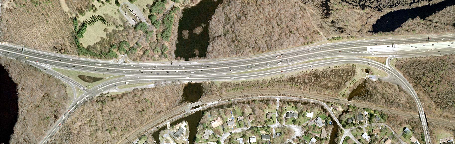
Two former segments exist here, both of which are a result of construction and reconstruction of the Oakdale Merge and currently used as Department of Environmental Conservation Fishing Areas. One, Bubbles Falls, is on the Southeast corner of Sunrise & Montauk Highways near the entrance to Connetquot River State Park, while the other, Rattlesnake Brook, is on the Southwest corner.
- Sayville:
From Lowell Road through Old Broadway Avenue.
- East Patchogue-Brookhaven:
Now known as South Country Road(Suffolk CR 36) since July 19, 1932, this segment runs through the Bellport Village Historic District.[3][4]
- Brookhaven:
In front of a private residence near Yaphank Avenue.
- Southhaven:
Now known as Old South Country Road.
- Mastic:
From Washington Avenue to a garage overlooking the West Lake of the Forge River.[5]
- Moriches:
From Barnes Road on the East Lake of the Forge River to some undetermined location.
- Center Moriches:
Between Old Neck Road & Senix Road, currently a private road from Old Neck Road to houses along the Long Island Rail Road Montauk Line.[6]
- Center Morices-East Moriches:
Camp Paquatuck to Mill Pond Lane, now a pedestrian bridge across the Terrell River.
- Eastport-Westhampton:
Now known as Old Country Road (Suffolk County Road 71). At some point in the 20th century, Old Country Road (Suffolk CR 71) was only part of Montauk Highway between the current Montauk Highway to Eastport-Manor Road (Suffolk CR 55), and from there it turned south along Suffolk CR 55 to Main Street (Suffolk CR 80/Former New York State Route 27A.) in Eastport.[4]
- Speonk:
Mill Road near the Speonk River.
- Cobb:
East of Head of the Pond Road.
- Wainscott:
From Georgica Drive to across the street from the Nature Conservancy on Georgica Pond, now the westbound Rest Area.[7]
- Georgica:
Currently the eastbound Rest Area.
- Pantiago-Amagansett:[8]
- Skimhampton Road.
- Further Lane from Skimhampton Road through Indian Well Plain Highway.
- Abandoned section of Old Montauk Highway from Indian Well Plain Highway and Atlantic Avenue.
- Amagansett:
- Atlantic Avenue between current & Old Montauk Highways.
- Old Montauk Highway.[8]
- Beach Hampton:
Part of Cranberry Hole Road (Suffolk CR 33), to Old Montauk Highway, northeast of the Long Island Rail Road Montauk Line crossing.
- Promised Land:
Between Cranberry Hole Road (Suffolk CR 33), and Napeauge Meadow Road, near East Hampton Beach.
- East Hampton Beach:
Part of Neapauge Meadow Road, to Old Montauk Highway, northwest of the Long Island Rail Road Montauk Branch crossing.
- Montauk Beach-Montauk:
From Hither Hills State Park to between South Dearborn Place and Second House Road.
- Montauk Point:
From Ranch Road near Theodore Roosevelt County Park to eastbound Montauk Point State Park U-Turn.
See also
References
- ^ a b "County Road System – County of Suffolk, New York" (PDF). Suffolk County Department of Public Works. December 29, 2005. http://www.greaternyroads.info/pdfs/suffcr.pdf. Retrieved April 1, 2010.
- ^ Empire State Roads: Interchange of the Week; January 26, 2004 (Full-Size Image)
- ^ Rand McNally (1926). Rand McNally Auto Road Atlas (Map). http://www.broermapsonline.org/members/NorthAmerica/UnitedStates/Midatlantic/NewYork/unitedstates1926ra_008.html. Retrieved October 16, 2007.
- ^ a b Suffolk County Department of Public Works
- ^ Old Montauk Highway - Mastic (WikiMapia)
- ^ Former segment of Montauk Highway - Center Moriches (WikiMapia)
- ^ Old Montauk Highway - Wainscott (WikiMapia)
- ^ a b Map of Eastern Suffolk County, New York 1941@NYCRoads.com
External links
- LIPA Partners with Suffolk County and KeySpan in a Major Traffic Improvement Project in Patchogue (Long Island Power Authority Press Release; December 3, 2003)
- Suffolk CRs 76–100 @ NYC Roads.com
- Suffolk CRs 80 and 85 (Greater New York Roads)
Categories:- Roads in New York
- Transportation in Nassau County, New York
- Transportation in Suffolk County, New York


Wikimedia Foundation. 2010.