- Middle Fork State Fish and Wildlife Area
-
Middle Fork State Fish and Wildlife Area IUCN Category IV (Habitat/Species Management Area)Map of the U.S. state of Illinois showing the location of Middle Fork State Fish and Wildlife Area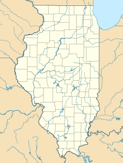

Location Vermilion County, Illinois, USA Nearest city Oakwood, Illinois Coordinates 40°15′34″N 87°47′38″W / 40.25944°N 87.79389°WCoordinates: 40°15′34″N 87°47′38″W / 40.25944°N 87.79389°W Area 2,700 acres (10.93 km2) Established 1986 Governing body Illinois Department of Natural Resources Middle Fork State Fish and Wildlife Area is an Illinois state park on 2,700 acres (10.93 km2) in Vermilion County, Illinois, United States. It is located about six miles (10 km) north of Interstate 74 and the Oakwood exit. Its name comes from the Middle Fork of the Vermilion River that flows through the area.
References
- "Middle Fork State Fish and Wildlife Area". Illinois Department of Natural Resources. http://dnr.state.il.us/Lands/Landmgt/PARKS/R3/Middle.htm. Retrieved 2007-05-25.
- USGS. "Middle Fork State Fish and Wildlife Areas, USGS Potomac (IL) Quad". TopoQuest. http://www.topoquest.com/map.asp?latd=40&latm=15&lats=34&lond=87&lonm=47&lons=38&datum=NAD83&u=6. Retrieved 2008-07-05.
Categories:- IUCN Category IV
- Illinois state parks
- Protected areas of Vermilion County, Illinois
- Protected areas established in 1986
- Illinois protected area stubs

Wikimedia Foundation. 2010.