- Oshodi-Isolo
-
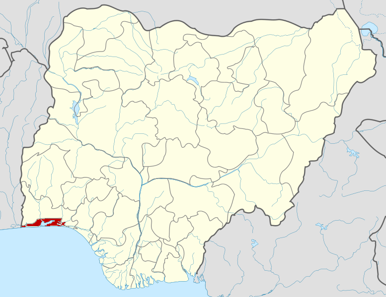
Oshodi-Isolo — LGA and suburb — Location in Lagos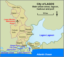
Country  Nigeria
State Lagos State Area - Total 17.4 sq mi (45 km2) Population (2006) - Total 621,509 Time zone WAT (UTC+1) Oshodi-Isolo is a Local Government Area (LGA) within Lagos State. It was formed by the second republic Governor of Lagos State, Alhaji Lateef Kayode Jakande, also known as 'Baba Kekere' and the first Executive Chairman of the Local Government was late Chief Isaac Ademolu Banjoko. The LGA is part of the Ikeja Division of Lagos State, Nigeria. At the 2006 Census it had a population of 621,509 people, and an area of 45 square kilometres. Hon. Afeez Ipesa-Balogun, an aeronautic engineer, was recently elected for another three year term as the Executive Chairman. Mrs Modupe Oshegale and Mr Bamigbetan were also elected to head Isolo and Ejigbo Local Council Development Areas which are semi-autonomous areas within the Oshodi-Isolo Local Government Area.
The area includes two constituencies of the National House of Representatives. As of 2009, Hon. Moruf Akindelu Fatai of the Action Congress (AC) represented Oshodi-Isolo I, and Hon. Joseph Ajatta (AC) represented Oshodi-Isolo II.[1] From 1999-2007, Mudasiru Oyetunde Hussein of the Alliance for Democracy party represented Oshodi-Isolo.[2]
References
- ^ "MEMBERS". The House of Representatives, Federal Republic of Nigeria. http://www.nassnig.org/house/members.php?state=3&party=all&button=Submit. Retrieved 2009-09-20.[dead link]
- ^ "AC Senatorial Candidate boasts: I’ll flush Adeleke out of Senate". The Daily Sun. August 28, 2008. http://www.sunnewsonline.com/webpages/politics/2008/aug/28/politics-28-08-2008-003.htm. Retrieved 2009-09-20.
External links
State capital: Ikeja Administrative
divisions
LGAs Agege · Ajeromi-Ifelodun · Alimosho · Amuwo-Odofin · Apapa · Badagry · Epe · Eti-Osa · Ibeju-Lekki · Ifako-Ijaiye · Ikeja · Ikorodu · Kosofe · Lagos Island · Lagos Mainland · Mushin · Ojo · Oshodi-Isolo · Somolu · SurulereCategories:- Lagos State
- Local Government Areas in Lagos State
- Populated places in Lagos State

Wikimedia Foundation. 2010.