- Miller Landing, Alaska
-
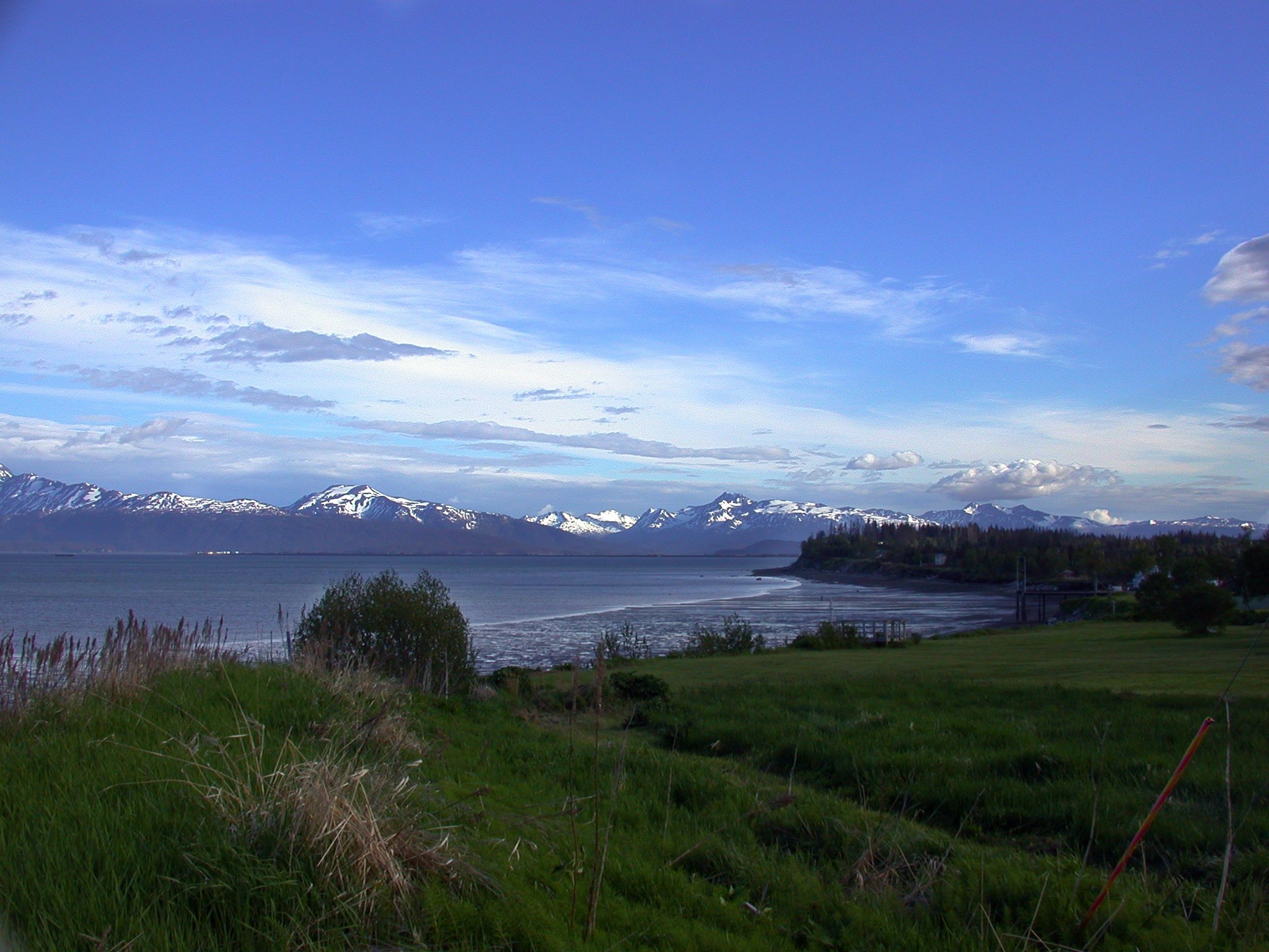
Miller Landing, Alaska — CDP — A view of Miller's Landing on Kachemak Bay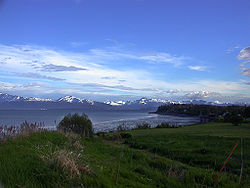 Location within the state of Alaska
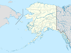
 Miller Landing, Alaska
Coordinates: 59°39′52″N 151°26′22″W / 59.66444°N 151.43944°WCoordinates: 59°39′52″N 151°26′22″W / 59.66444°N 151.43944°W Country United States State Alaska Borough Kenai Peninsula Area – Total 0.3 sq mi (0.7 km2) – Land 0.3 sq mi (0.7 km2) – Water 0.0 sq mi (0.0 km2) Population (2000) – Total 74 – Density 292.9/sq mi (113.1/km2) Time zone Alaska (AKST) (UTC-9) – Summer (DST) AKDT (UTC-8) Area code(s) 907 FIPS code 02-49435 Miller Landing is a census-designated place (CDP) just outside of Homer, Alaska in the Kenai Peninsula Borough, United States. The population was 74 at the 2000 census.
Contents
Geography
Miller Landing is located at 59°39′52″N 151°26′22″W / 59.66444°N 151.43944°W (59.664356, -151.439449)[1].
According to the United States Census Bureau, the CDP has a total area of 0.2 square miles (0.52 km2).None of the area is covered with water.
Demographics
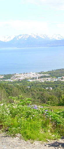 Today the area is dominated by a boat haul-out and storage yard
As of the census[2] of 2000, there were 74 people, 31 households, and 19 families residing in the CDP. The population density was 292.9 people per square mile (114.3/km²). There were 35 housing units at an average density of 138.6/sq mi (54.1/km²). The racial makeup of the CDP was 94.59% White and 5.41% Asian.
There were 31 households out of which 29.0% had children under the age of 18 living with them, 48.4% were married couples living together, 9.7% had a female householder with no husband present, and 38.7% were non-families. 22.6% of all households were made up of individuals and 3.2% had someone living alone who was 65 years of age or older. The average household size was 2.39 and the average family size was 2.95.
In the CDP the population was spread out with 24.3% under the age of 18, 4.1% from 18 to 24, 32.4% from 25 to 44, 32.4% from 45 to 64, and 6.8% who were 65 years of age or older. The median age was 35 years. For every 100 females there were 76.2 males. For every 100 females age 18 and over, there were 93.1 males.
The median income for a household in the CDP was $27,813, and the median income for a family was $35,417. Males had a median income of $36,250 versus $18,750 for females. The per capita income for the CDP was $19,586. There were 11.8% of families and 12.1% of the population living below the poverty line, including 28.6% of under eighteens and none of those over 64.
History
Miller's Landing, is named after a Charles Miller who homesteaded in the neighborhood around 1915. According to local historian Janet Klein, he was an employee of the Alaska Railroad and had wintered company horses on the beach grasses on the Homer Spit. He built a landing site in a small bight in Kachemak Bay where supply barges from Seldovia could land and offload their cargos. [3] The landing is still used as a haul-out facility for several boatyards in the area.
References
- ^ "US Gazetteer files: 2010, 2000, and 1990". United States Census Bureau. 2011-02-12. http://www.census.gov/geo/www/gazetteer/gazette.html. Retrieved 2011-04-23.
- ^ "American FactFinder". United States Census Bureau. http://factfinder.census.gov. Retrieved 2008-01-31.
- ^ Klein, Janet (1981). A History of Kachemak Bay. Homer, Alaska: Homer Society of Natural History.
Municipalities and communities of Kenai Peninsula Borough, Alaska Cities 
CDPs Anchor Point | Bear Creek | Beluga | Clam Gulch | Cohoe | Cooper Landing | Crown Point | Diamond Ridge | Fox River | Fritz Creek | Funny River | Halibut Cove | Happy Valley | Hope | Kalifornsky | Kasilof | Lowell Point | Miller Landing | Moose Pass | Nanwalek | Nikiski | Nikolaevsk | Ninilchik | Port Graham | Primrose | Ridgeway | Salamatof | Seldovia Village | Sterling | Sunrise | Tyonek
Unincorporated
communitiesKachemak Selo | Razdolna | Voznesenka
Categories:- Populated places in Kenai Peninsula Borough, Alaska
- Census-designated places in Alaska


Wikimedia Foundation. 2010.