- Namsen
-
Namsen (Nååmesje) River 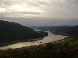 View from Kvatningfjell, near Namsos
Country Norway Region Trøndelag District Namdalen Municipalities Røyrvik, Namsskogan, Grong, Namsos Tributaries - left Tunnsjøelva, Sanddøla City Namsos Source Namsvatnet - location Røyrvik, Norway - elevation 455 m (1,493 ft) - coordinates 64°59′57″N 13°44′32″E / 64.99917°N 13.74222°E Mouth Namsenfjorden - location Namsos, Norway - elevation 0 m (0 ft) - coordinates 64°27′52″N 11°31′10″E / 64.46444°N 11.51944°E Length 228 km (142 mi) Basin 6,298 km2 (2,432 sq mi) Discharge for Namsos - average 285 m3/s (10,065 cu ft/s) Namsen (Southern Sami: Nååmesje) is the biggest river in Nord-Trøndelag county, in the central part of Norway. The 228-kilometre (142 mi) long river flows through the municipalities of Røyrvik, Namsskogan, Grong, Overhalla, and Namsos. It traditionally has been used for floating timber down from the forests to the town of Namsos, where the sawmills were located. Today parts of the Namsen are regulated by several dams.[1]
Contents
Location
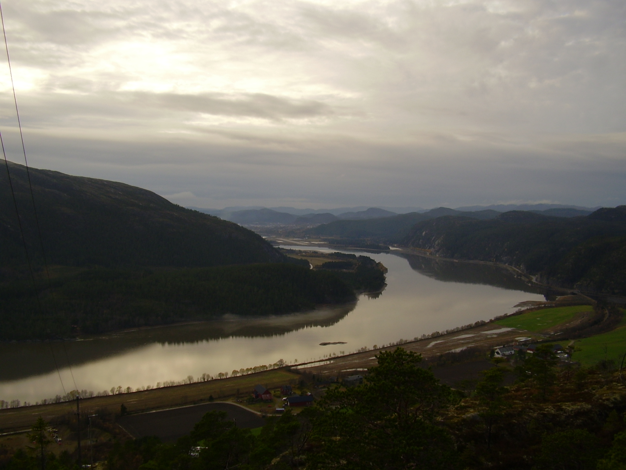
 Sunset at Namsen
The river begins in springs in Børgefjell National Park, just over the border in Nordland county. This water feeds that large lake Store Namsvatnet. The Namsen river itself starts when the water passes through the dam on the northwest side of the lake Namsvatnet in the municipality of Røyrvik.
The river then travels through the Namdal valley towards the coast, ending at the town of Namsos where it flows into the Namsenfjorden, the same fjord into which the smaller river Årgårdselva flows. There are two major tributaries to the Namsen: Tunnsjøelva and Sanddøla.[2]
The total watershed is approximately 6,298 square kilometres (2,432 sq mi) and at Namsos, the water discharges into the fjord at about 285 cubic metres per second (10,100 cu ft/s).[1]
Fishing
The Namsen is considered one of the best Atlantic Salmon fishing rivers in the world, and is often called the "Queen of Rivers". Beginning in the 19th century, the British found the Atlantic salmon fishing to be excellent here, and the river became a major tourist attraction. Catches above 23 kilograms (51 lb) are not unusual. The Namsen is a wide river and is thus often fished from small boats using a method called "harling". This method consists of trolling a lure while the boat moves slowly from bank to bank and drifting downstream. Thus, the salmon meet the lure as they swim upstream.[2]
See also
- Kraftverkene i Øvre Namsen
- The Norwegian Sawmill museum
Reference
- ^ a b Store norske leksikon. "Namsen" (in Norwegian). http://snl.no/Namsen. Retrieved 2011-08-23.
- ^ a b "The Namsen River". VisitNorway.com. http://www.visitnorway.com/uk/sponsored/UK/Sponsored-articles/Salmon-rivers/The-Namsen-River-Namsen-Adventure.
External links
Categories:- Rivers of Nord-Trøndelag
- Namsos
- Overhalla
- Grong
- Namsskogan
- Røyrvik

Wikimedia Foundation. 2010.