- Buriganga River
-
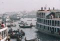
Buriganga River River  A launch sails from Sadarghat on the Buriganga
Country Bangladesh City Dhaka Source Dhaleshwari River 
The Buriganga River (Bangla: বুড়িগঙ্গা Buŗigônga "Old Ganges") is the main river flowing beside Dhaka city, capital of Bangladesh. The average depth is 25 feet (7.6 m) and maximum depth is 58 feet (18 m).
Contents
History
In the distant past, a course of the Ganges river used to reach the Bay of Bengal through the Dhaleshwari river. This course gradually shifted and ultimately lost its link with the main channel of the Ganges and was renamed as the Buriganga. It is said that the water levels during high and low tides in this river astonished the Mughals.The water tables even is very astonishing due to pollution of polythenes deposited beneath water. The materials from breaking of buildings of the river banks also add hazardous substances in the river.
The course of the Padma has changed considerably during the period 1600 to 2000 AD. It is difficult to trace accurately the various channels through which it has flowed. The probability is that it flowed past Rampur Boalia, through Chalan Beel, the Dhaleshwari and Buriganga rivers, past Dhaka into the Meghna estuary. In the 18th century, the lower course of the river flowed further south. About the middle of the 19th century the main volume of the channel flowed through this southern channel which came to be known as Kirtinasa. Gradually the Padma adopted its present course.[1]
Pollution
The Buriganga is economically very important to Dhaka. Launches and Country Boats provide connection to the other parts of Bangladesh, a largely riverine country. When the Mughals made Dhaka their capital, in 1610, the banks of the Buriganga were already a prime location for trade. The river was also the city's main source of drinking water.
Today, the Buriganga river is afflicted by the noisome problem of pollution. The chemical waste of mills and factories, home waste, medical waste, sewage, dead animals, plastics, and oil are some of the Buriganga's pollutants. The city of Dhaka discharges about 4,500 tons of solid waste every day and most of it is released into the Buriganga.[citation needed] According to the Department of the Environment (DoE), 20,000 tonnes of tannery waste, including some highly toxic materials, are released into the river every day.[citation needed] Experts identified nine industrial areas in and around the capital city as the primary sources of river pollution: Tongi, Tejgaon, Hazaribagh, Tarabo, Narayanganj, Savar, Gazipur, Dhaka Export Processing Zone and Ghorashal. Most of the industrial units of these areas have no sewage treatment plants of their own.
More than 60,000 cubic meters of toxic waste, including textile dying, printing, washing and pharmaceuticals, are released into the main water bodies of Dhaka every day.[citation needed] According to the Dhaka Water and Sewerage Authority (WASA), about 12,000 cubic meters of untreated waste are released into the lake from Tejgaon, Badda and Mohakhali industrial areas every day. The waste mostly comes from garment washing and dyeing plants. Textile industries annually discharge as much as 56 million tones of waste, 0.5 million tones of sludge. Sewage is also released into the Buriganga. A newspaper article in 2004[2] indicated that up to 80% of Dhaka's sewage was untreated. Because of Dhaka's heavy reliance on river transport for goods, including food, the Buriganga receives especially high contact with food waste. Unusable or rotting portions of fruits, vegetables, and fish are thrown into the river.
Nearly 4.0 million people of the city are exposed to the consequences of water pollution every day.[citation needed]
Previously (when?), a group of environmentalists attempted to form a river patrolling team to save the Buriganga and other rivers from extreme pollution. The group was concerned about the contamination of the rivers around the capital and demanded immediate action. The government has been criticized for its inability or unwillingness to stop the industrial units of the city from releasing untreated waste into the water.
Gallery
-

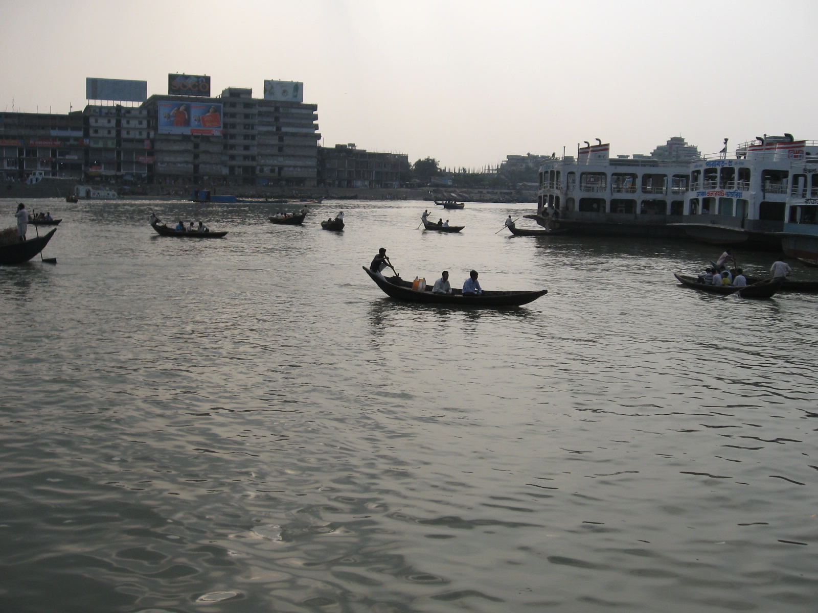
Large launches waiting at Sadarghat on the Buriganga for different destinations in Bangladesh
-

A boatman sells pineapples at Sadarghat on the Buriganga
-

Sadarghat port on the Buriganga River, Dhaka city
-
Sadarghat port on the Buriganga river is an important river transport hub
-

Small boats ply on the Buriganga at Sadarghat
-

Land reclamation on the Buriganga river dredges sand and deposits it on the floodplain.
References
- ^ Majumdar, Dr. R.C., History of Ancient Bengal, First published 1971, Reprint 2005, pp. 3-4, Tulshi Prakashani, Kolkata, ISBN 81-89118-01-3.
- ^ "financialexpress-bd.com". http://www.financialexpress-bd.com/index3.asp?cnd=2/25/2005§ion_id=4&newsid=13499&spcl=no.
See also
Rivers in and around Bengal Southeast Bangladesh Assam / Meghalaya / Tripura Northern Bangladesh
North BengalCentral Bangladesh - Bangshi
- Buriganga
- Dhaleshwari
- Gorai-Madhumati
- Jamuna
- Louhajang
- Padma
- Shitalakhya
- Turag
Chotanagpur - Ajay
- Bakreshwar
- Bansloi
- Barakar
- Brahmani
- Damodar
- Dwarka
- Dwarakeswar
- Gandheswari
- Haldi
- Hinglo
- Kangsabati
- Keleghai
- Kopai
- Kosai
- Kunur
- Mayurakshi
- Mundeswari
- Rasulpur
- Rupnarayan
- Sali
- Shilabati
- Subarnarekha
South Bengal
Ganges Delta- Adi Ganga
- Baleshwar
- Bidyadhari
- Bura Gauranga
- Churni
- Gosaba
- Hariabhanga
- Hooghly
- Ichamati
- Jalangi
- Kalindi
- Matla
- Muri Ganga
- Pasur
- Piyali
- Raimangal
- Saptamukhi
- Saraswati
- Thakuran
Related topics - Beel
- Country boats in Bangladesh
- Chalan Beel
- Ganges
- Haor
- Haors in Bangladesh
- List of rivers of Bangladesh
- of India
- Waters of South Asia
- Damodar Valley Corporation
Hydrology of surrounding areas - Orissa
- Jharkhand
- Bihar
- Nepal
- Sikkim
- Bhutan
- North-east India
Categories:- Rivers of Bangladesh
-


Wikimedia Foundation. 2010.