- Cocoroc, Victoria
-
Cocoroc
Victoria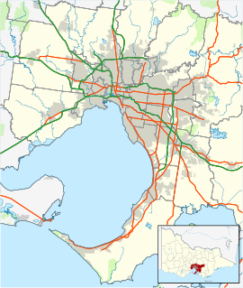
 Cocoroc
Postcode: 3030 Location: 44 km (27 mi) from Melbourne LGA: City of Wyndham State District: Lara Federal Division: Lalor Localities around Cocoroc: Mambourin Werribee Werribee Little River Cocoroc Werribee South Point Wilson Port Phillip Port Phillip Cocoroc is a rural locality in Victoria, Australia, 44 km south-west from Melbourne's central business district. Its Local Government Area is the City of Wyndham.
Cocoroc's history starts in 1892 when the Melbourne and Metropolitan Board of Works established a sewage treatment plant on the western banks of the Werribee River.[1]
This area was isolated and too far from Melbourne, so a village was built to house the workers becoming the town of Cocoroc.
In 1910 300 people lived in Cocoroc. Cocoroc developed in the 1920s having a public hall and three primary schools; the first one was built earlier in 1894.
Today this town is all but gone, the name Cocoroc still survives, with the Werribee Sewage Farm covering around 10,500 hectares and treating about 60% of Melbourne's sewage.[1]
References
- ^ a b Melbourne Water. "Western Treatment Plant". melbournewater.com.au. http://www.melbournewater.com.au/content/sewerage/western_treatment_plant/western_treatment_plant.asp?bhjs=0. Retrieved 7 November 2011.
Coordinates: 37°58′01″S 144°37′19″E / 37.967°S 144.622°E
Suburbs of the City of Wyndham | Melbourne | Victoria Cocoroc · Eynesbury · Hoppers Crossing · Laverton · Laverton North · Little River · Mambourin · Mount Cottrell · Point Cook · Quandong · Tarneit · Truganina · Werribee · Werribee South · Williams Landing · Wyndham Vale
Categories:- Towns in Victoria (Australia)
- Melbourne geography stubs

Wikimedia Foundation. 2010.