- Damsay
-
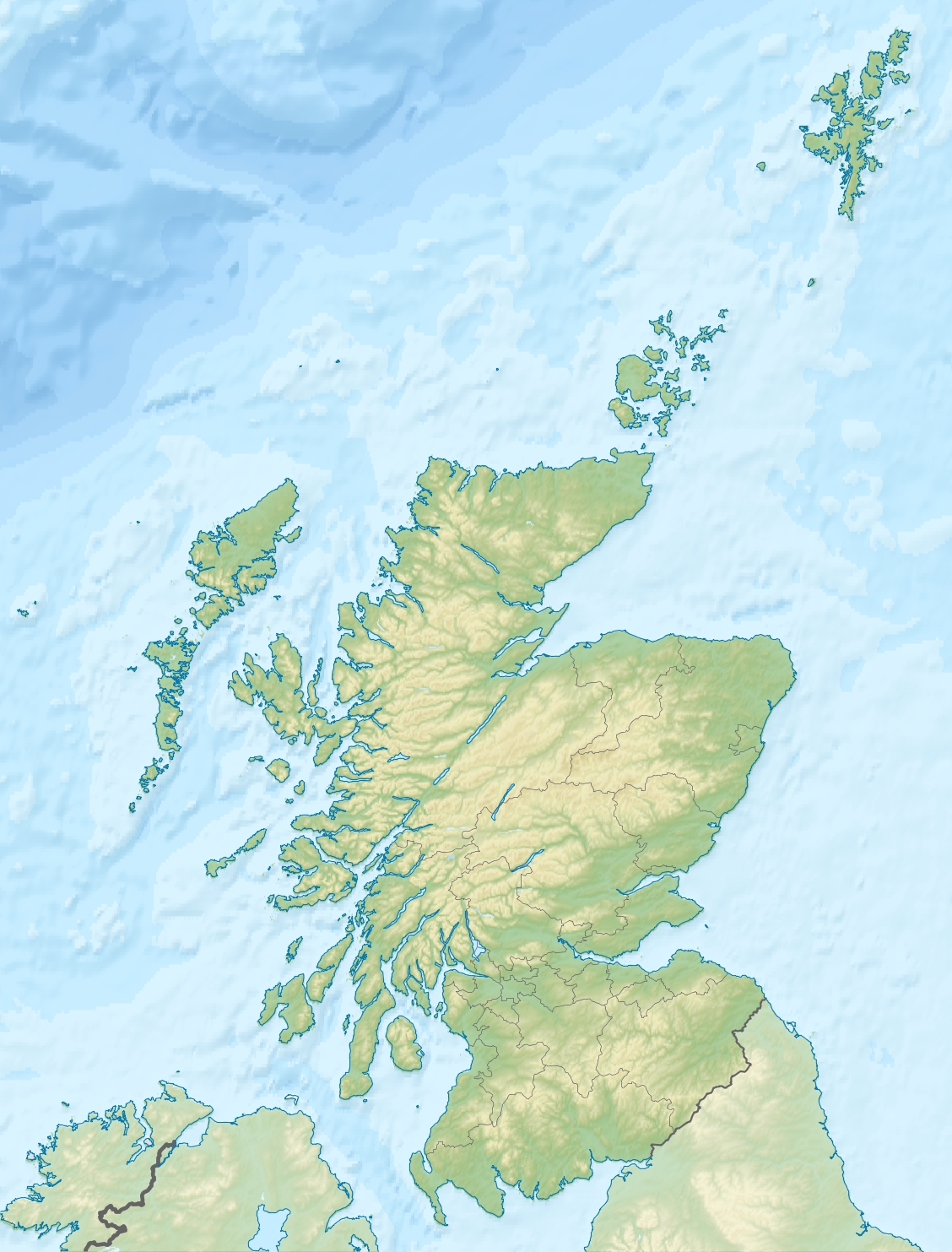
Damsay Location 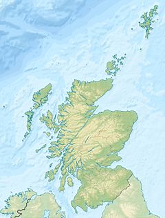
 Damsay
Damsay shown within Scotland OS grid reference HY389139 Names Gaelic name Unknown Norse name Damsey/Daminsey Meaning of name Old Norse meaning 'pond island', or possibly 'St Adamnan's Island' Area and summit Area 18 hectares (44.5 acres) Highest elevation 11 metres (36 ft) Population Population 0 Groupings Island group Orkney Local Authority Orkney Islands 

References [1][2][3] If shown, area and population ranks are for all Scottish islands and all inhabited Scottish islands respectively. Population data is from 2001 census.  Damsay from Ward of Redland, Mainland, Orkney
Damsay is an island in the Orkney archipelago in Scotland. It is approximately 18 hectares (0.07 square miles) in extent and rises to only 11 metres (36 feet) above sea level. It is situated in the Bay of Firth north of the Orkney Mainland near Finstown. Nearby is the smaller islet of Holm of Grimbister.
It is now uninhabited, but at one time a Norse hall stood there, and it was the scene of the killing of Earl Erlend by Earls Rognvald and Harald in 1154. Erlend celebrated Christmas on the island and retired to his ship the worse for drink. He and his men were taken by surprise and killed, a full moon notwithstanding.[4]
Later a small nunnery was built on the island leading to a legend that no frogs or toads (or possibly rats and mice) could live there. It is said that unmarried woman who became pregnant would go there to pray at an abandoned shrine to St Mary.[1][5]
Jo Ben's 1529 Descriptions of Orkney says of Damsay:
Here there are no hills, and it is the most pleasant of all, and is called Tempe. The church in this island is dedicated to the Virgin Mary, to which many pregnant women make visits in style. No frogs, toads, or other noxious terrestrial animals whatever are ever found here. The women here are sterile, and if they do become pregnant never bring forth with life. It is related that sometimes the haughty [the shores] are carried away for the space of one hour, but truly afterwards restored. The distance of this island from Kirkwall is two miles.[6]
"We have certainly got a lot of stonework. There are some quite interesting things. You can see voids or entrances. The really interesting thing about this bay is the stories relating to things under the sea and sea-level change. Our ancestors were dealing with similar problems to ourselves and we'd like to see how they coped with it
Caroline Wickham-Jones, an archaeologist has discovered a number of submerged structures off Damsay, which appear to be of stone age origin.
"There's this one feature that is like a stone table - you've got a large slab about a metre and a half long and it's sitting up on four pillars or walls so the next thing we need to do is to get plans and more photographs to try and assess and look for patterns.
"The quality and condition of some of the stonework is remarkable. Nothing like this has ever been found on the seabed around the UK."[7]
See also
References
- ^ a b Haswell-Smith, Hamish. (2004) The Scottish Islands. Edinburgh. Canongate.
- ^ Ordnance Survey
- ^ Anderson, Joseph (Ed.) (1893) Orkneyinga Saga. Translated by Jón A. Hjaltalin & Gilbert Goudie. Edinburgh. James Thin and Mercat Press (1990 reprint). ISBN 0-901824-25-9
- ^ Caithness history Retrieved 2 August 2007.
- ^ Moir, Tom, The West Mainland in Omand, Donald (ed.) (2003) The Orkney Book. Edinburgh, Birlinn. Page 192.
- ^ Orkneyjar history Retrieved 2 August 2007.
- ^ http://news.bbc.co.uk/1/hi/scotland/north_east/8416600.stm
Coordinates: 59°0′31″N 3°3′47″W / 59.00861°N 3.06306°W
North West Orkney Islands · Brough of Birsay · Damsay · Eday · Egilsay · Eynhallow · Faray · Gairsay · Holm of Faray · Holm of Papa · Holm of Scockness · Kili Holm · Papa Westray/Papay · Rousay · Rusk Holm · Sweyn Holm · Westray · Wyre ·
Orkney List of Orkney islands Inhabited Islands Mainland · Auskerry · Burray · Eday · Egilsay · Flotta · Gairsay · Graemsay · Hoy · North Ronaldsay · Papa Stronsay · Papa Westray · Rousay · Sanday · Shapinsay · South Ronaldsay · South Walls · Stronsay · Westray · WyreOther Islands Eynhallow · Helliar Holm · Lamb Holm · Switha · Swona · North West islands · North East islands · South West islands · South East islandsTowns and Villages Mainland Parishes Topics Categories:- Islands of the Orkney Islands
- Orkney geography stubs

Wikimedia Foundation. 2010.