- Mihtarlam
-
Mihtarlam
مهترلامLocation in Afghanistan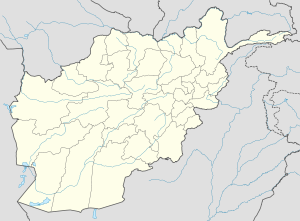
 Mihtarlam
Coordinates: 34°39′N 70°11′E / 34.65°N 70.183°ECoordinates: 34°39′N 70°11′E / 34.65°N 70.183°E Country  Afghanistan
Province Laghman Province District Mihtarlam District Elevation 2,556 ft (779 m) Population (2004) - Total 19,151 Time zone UTC+4:30 Mihtarlam (Pashto: مهترلام), also spelled Mehtar Lam, is a town in Afghanistan, the capital of Laghman Province and center of Mihtarlam District. It is the only large urban settlement in the province. The town is situated in the valley formed by the Alishing and Alingar rivers, 47 km northwest of the city of Jalalabad. There is a paved road between the cities that takes approximately one hour to travel by car. The tomb of Lamech, father of Noah[1] is believed to be in the area, discovered by Mahmud of Ghazni. A shrine was built there, which is revered nowadays.
References
Categories:- Populated places in Laghman Province
- Afghanistan geography stubs

Wikimedia Foundation. 2010.